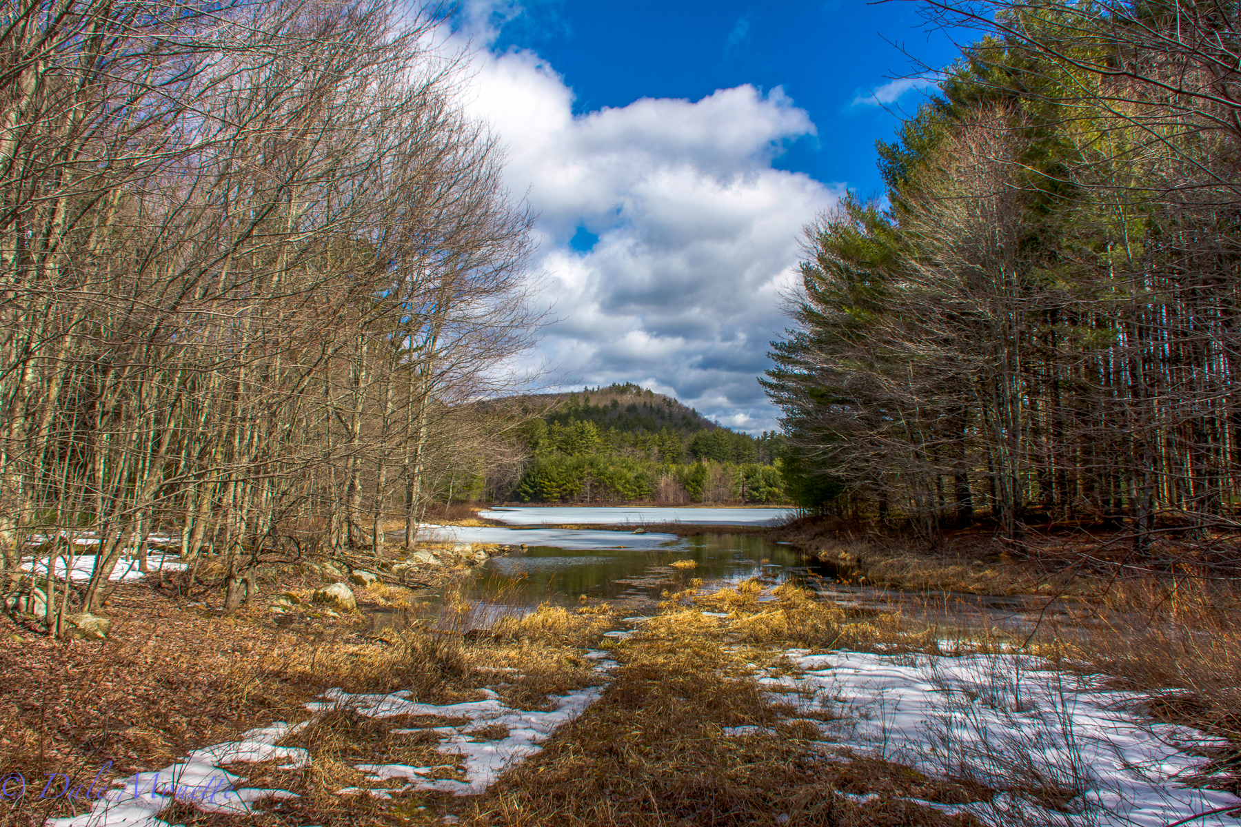
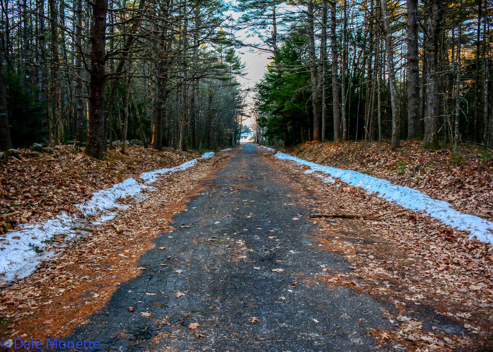
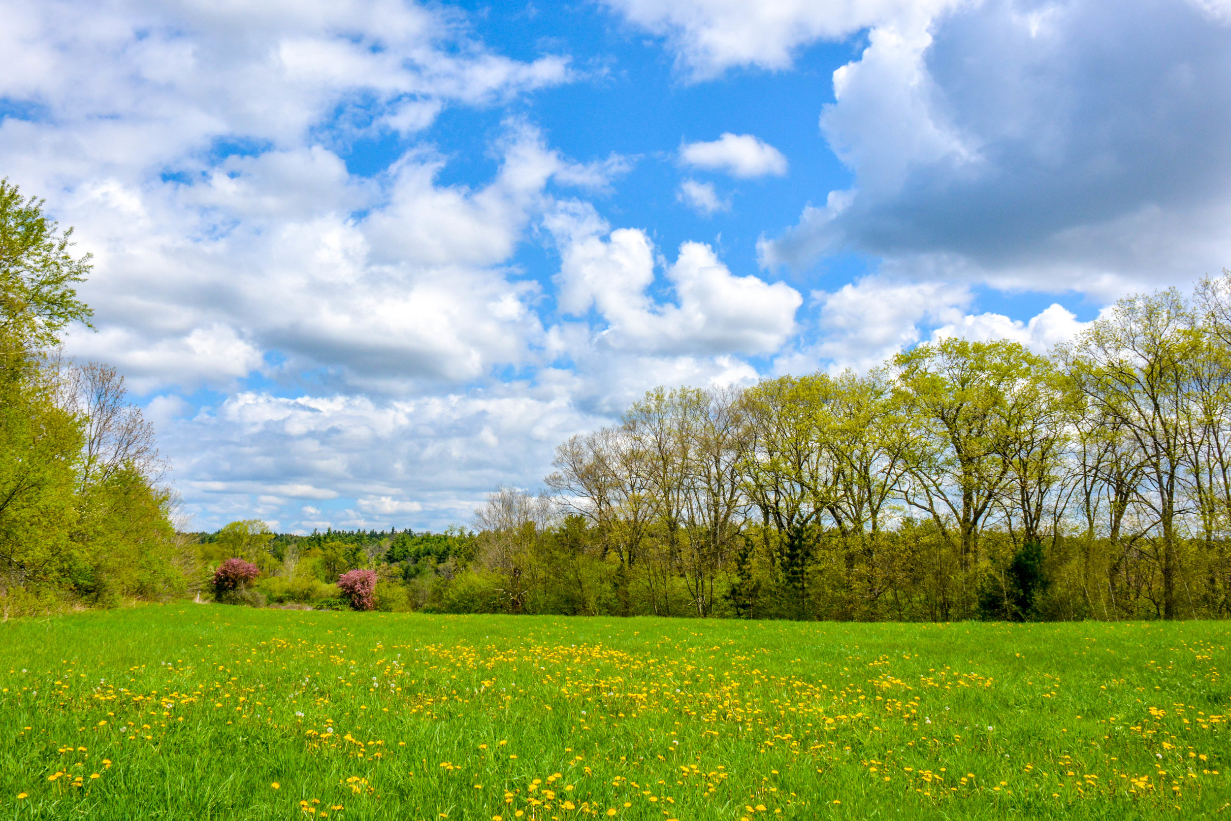
Looking north from the old Monson Turnpike Road heading from North Dana. Early April after the 2015 winter. taken 4/11/15
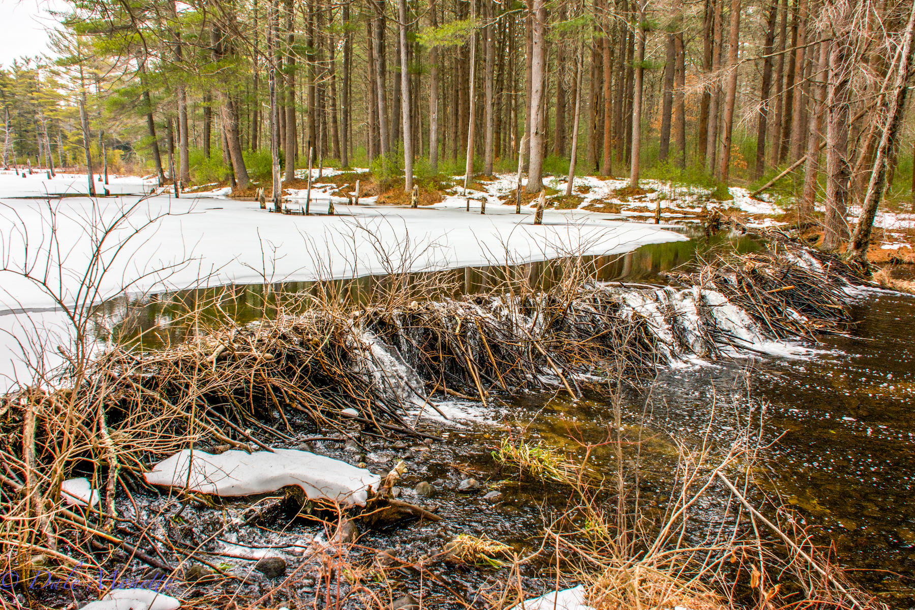
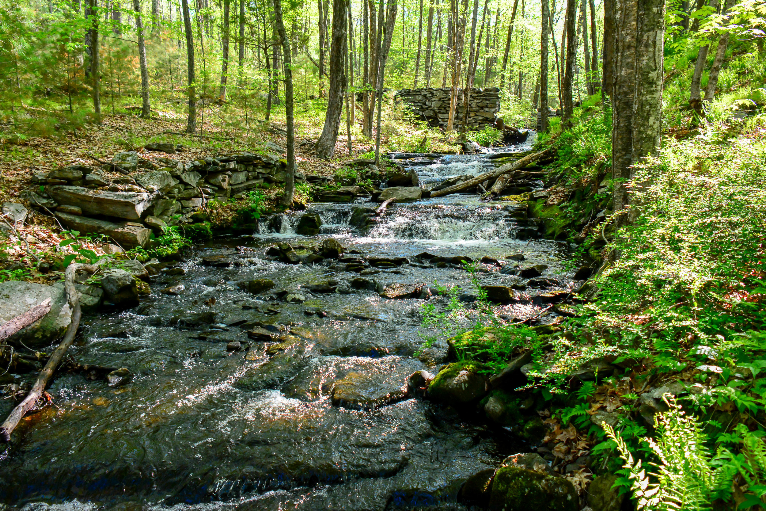
The west branch of Fever Brook dumps into the Quabbin from this beaver pond below Soapstone Mountain.
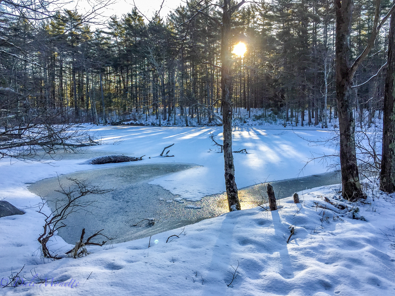
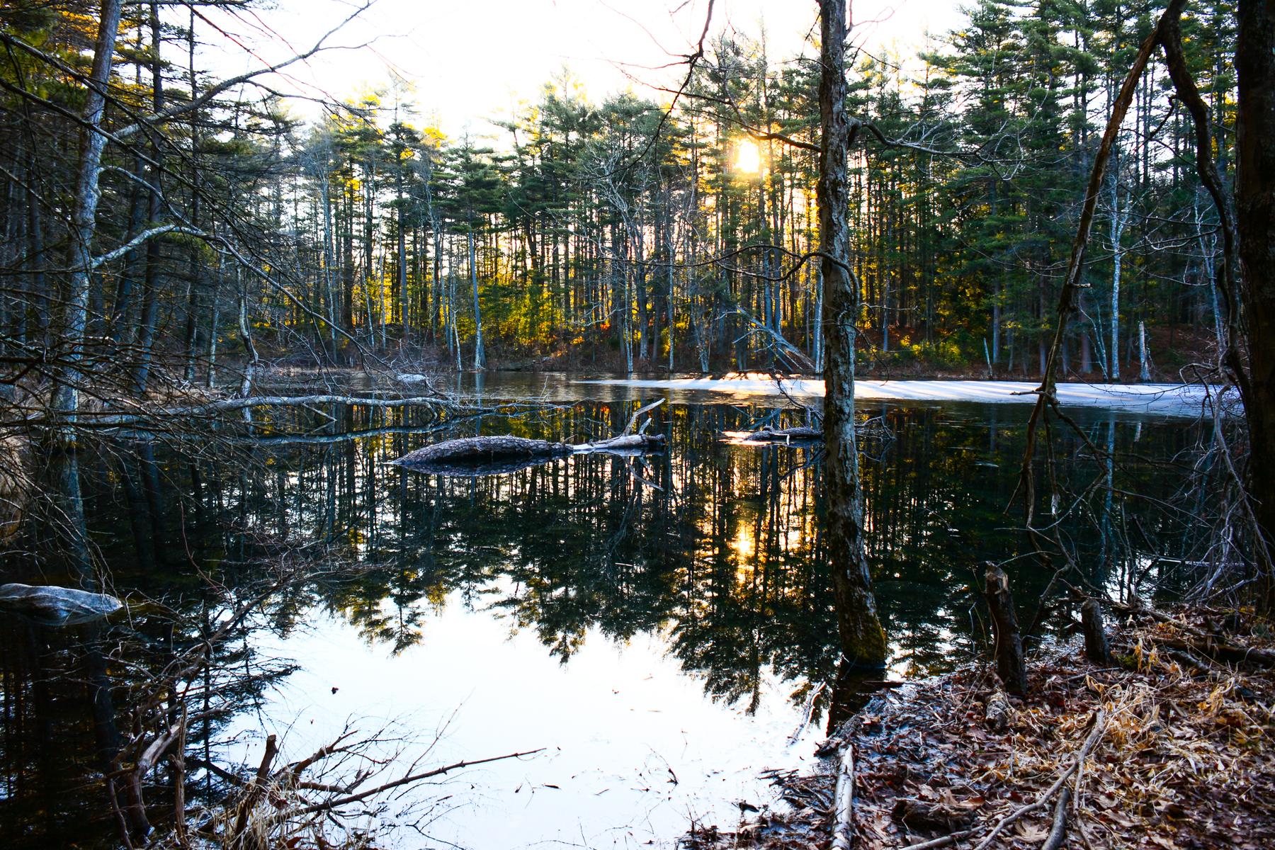
90 years ago this pond was used as an ice pond. Local residents cut blocks of ice out of it to use in ice boxes to keep food cool.
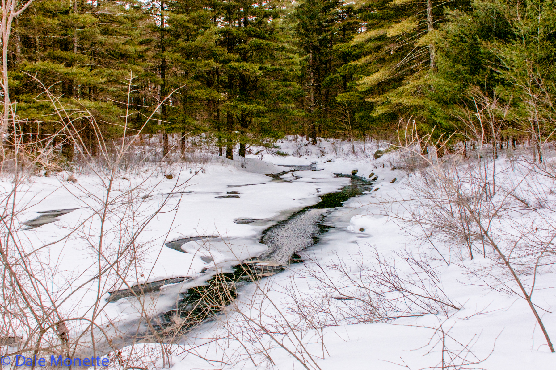
West branch of Fever Brook starts to open up in mid March.
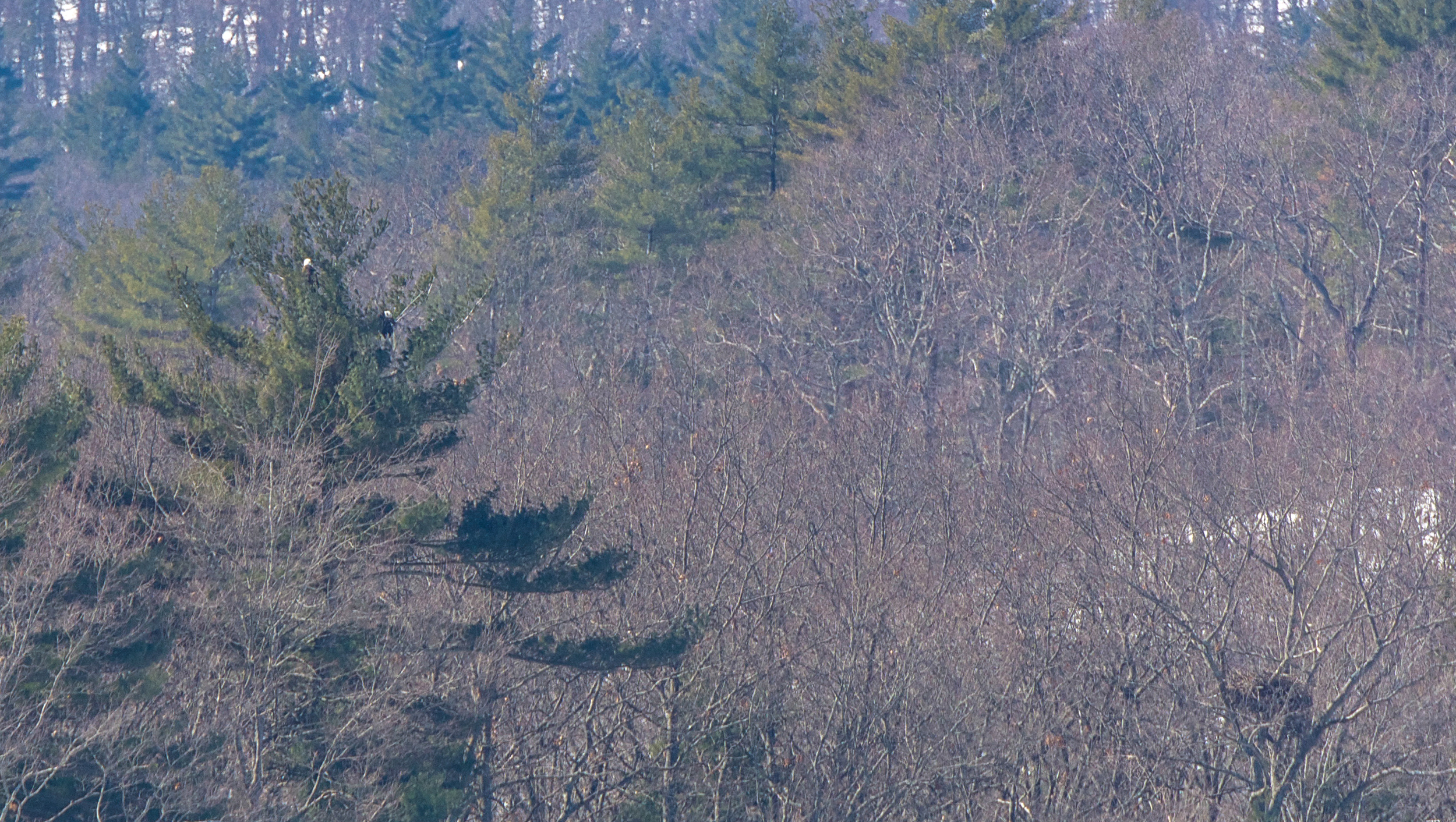
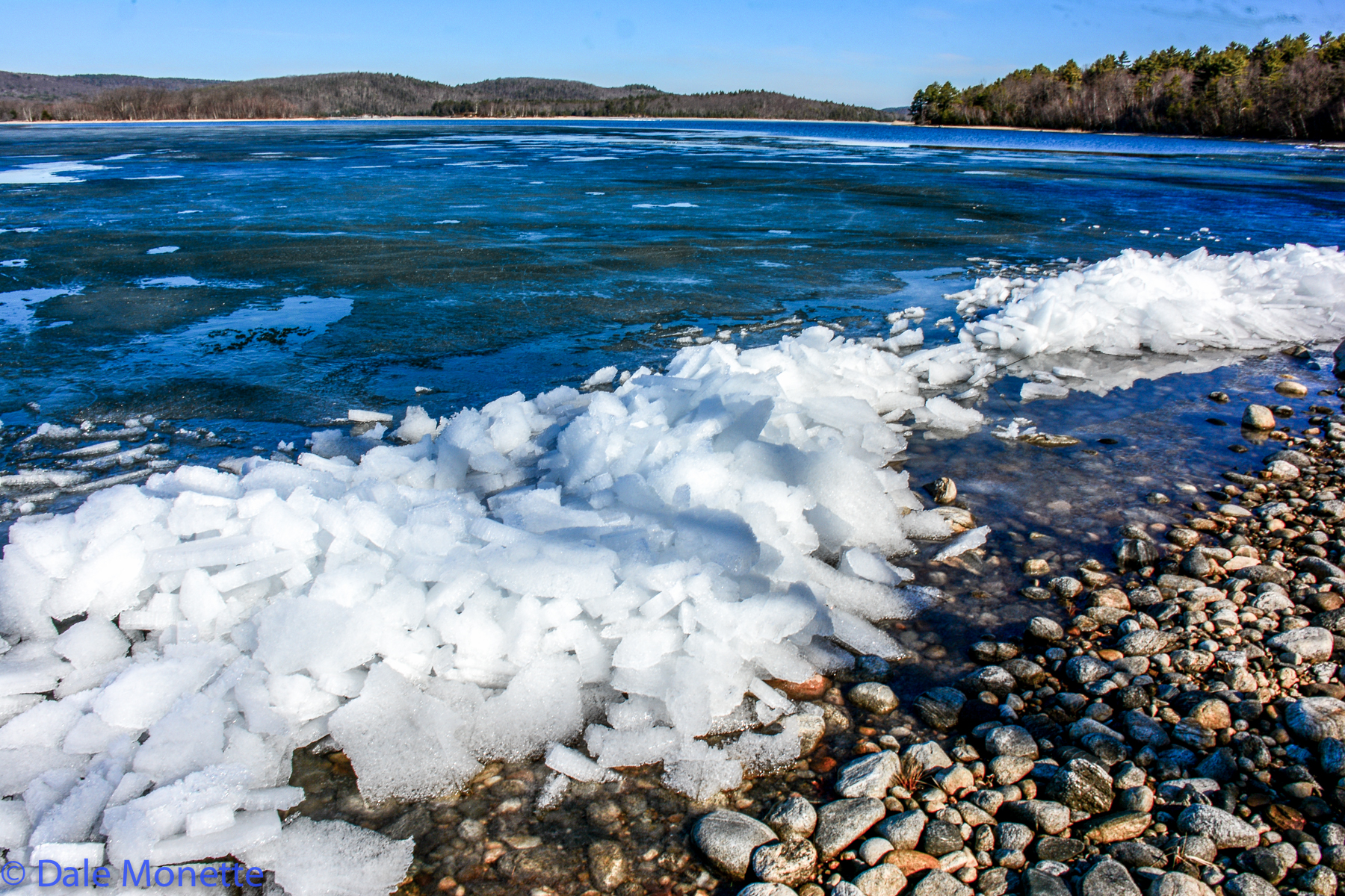
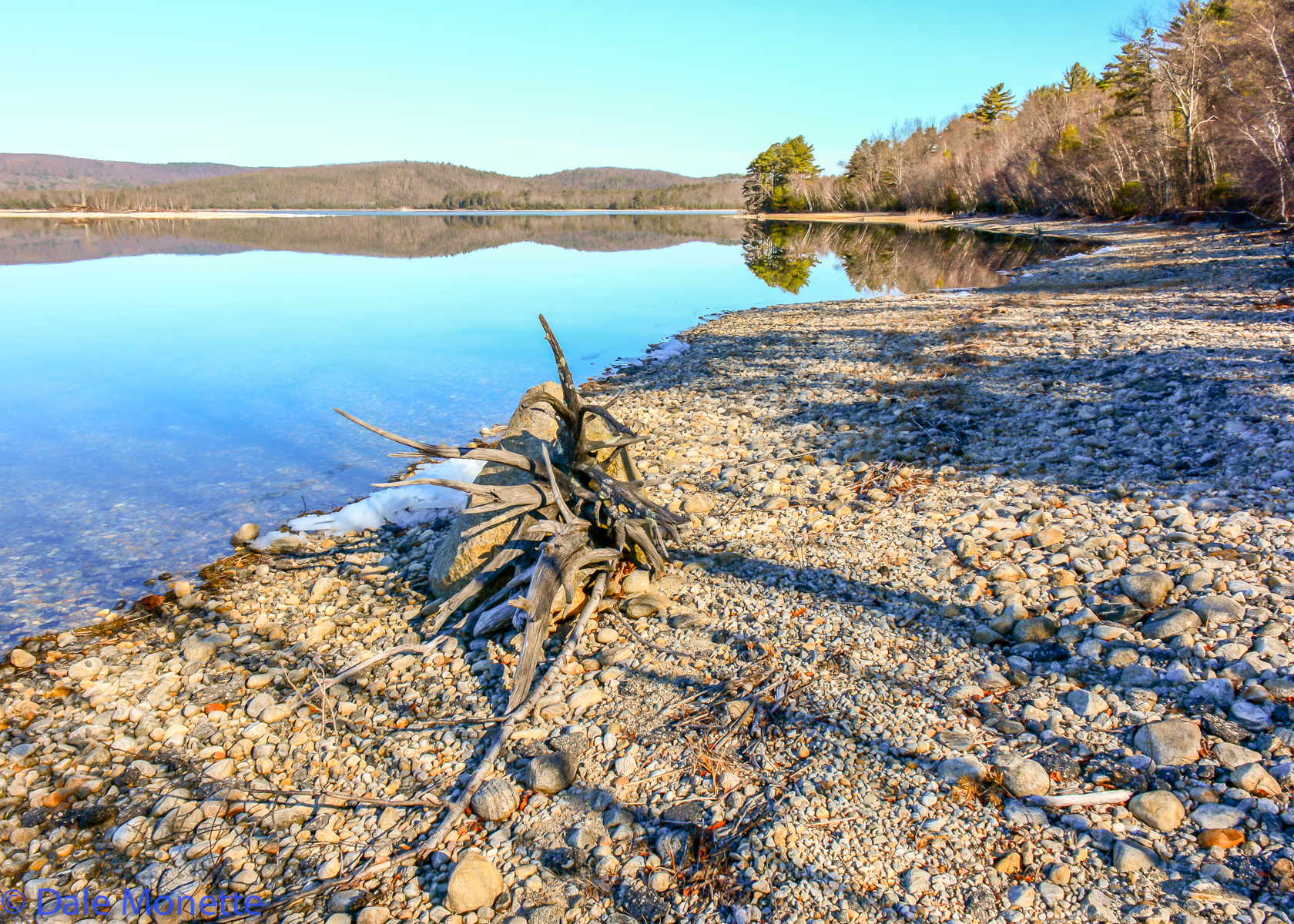
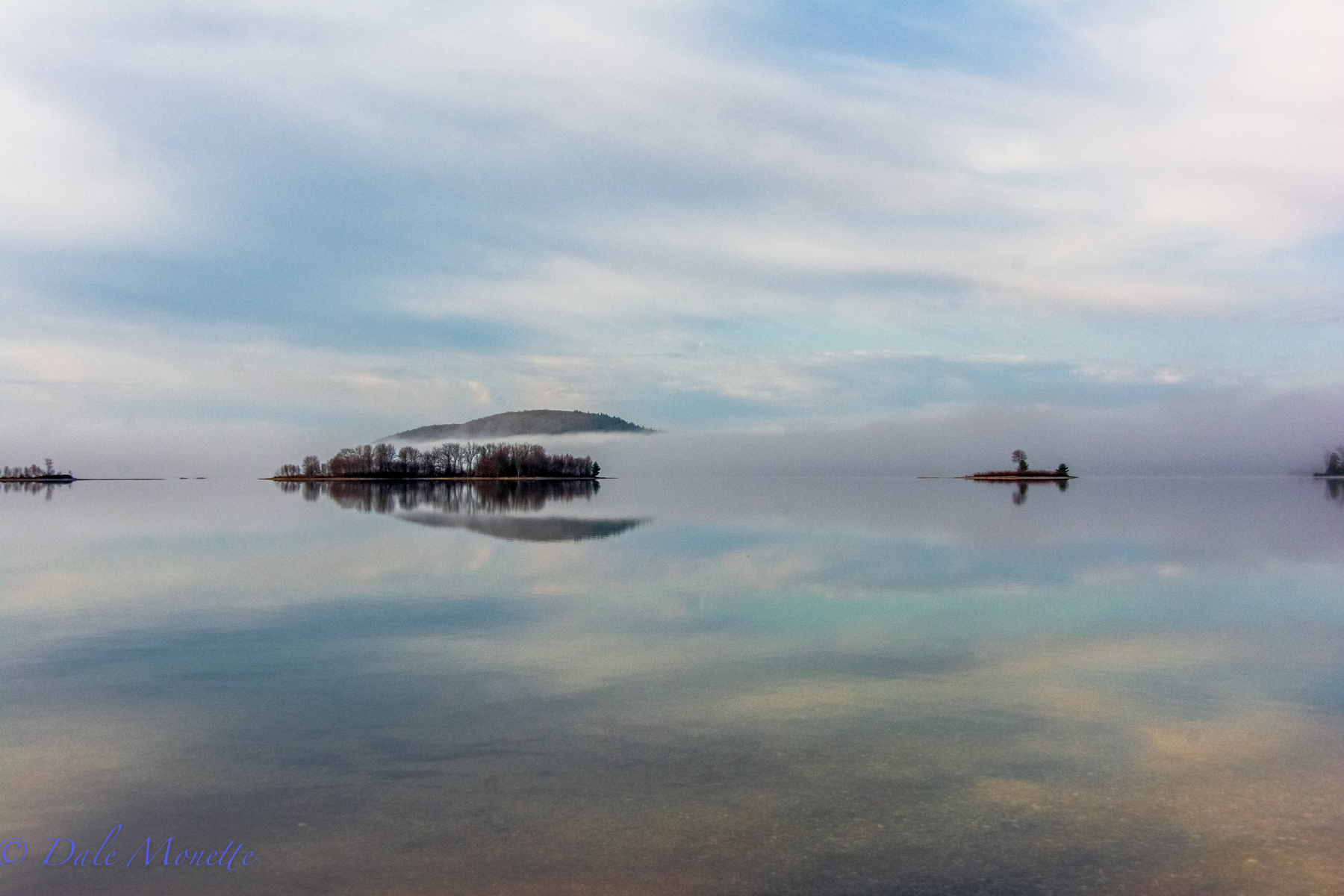
Some foggy days can be very good for photos as fog dissipates. 4/22/15
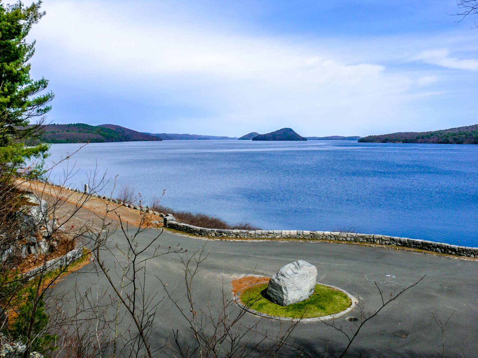
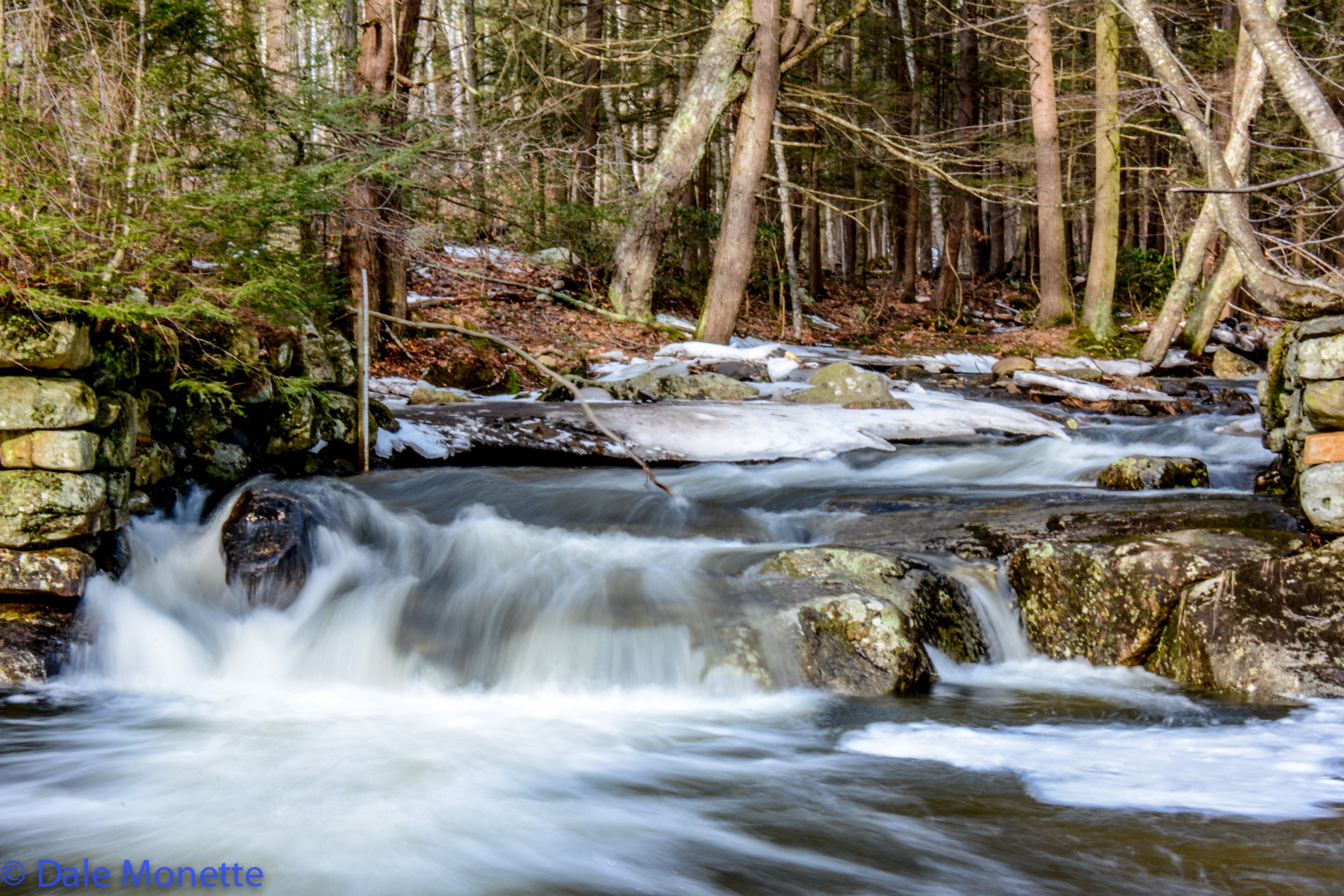


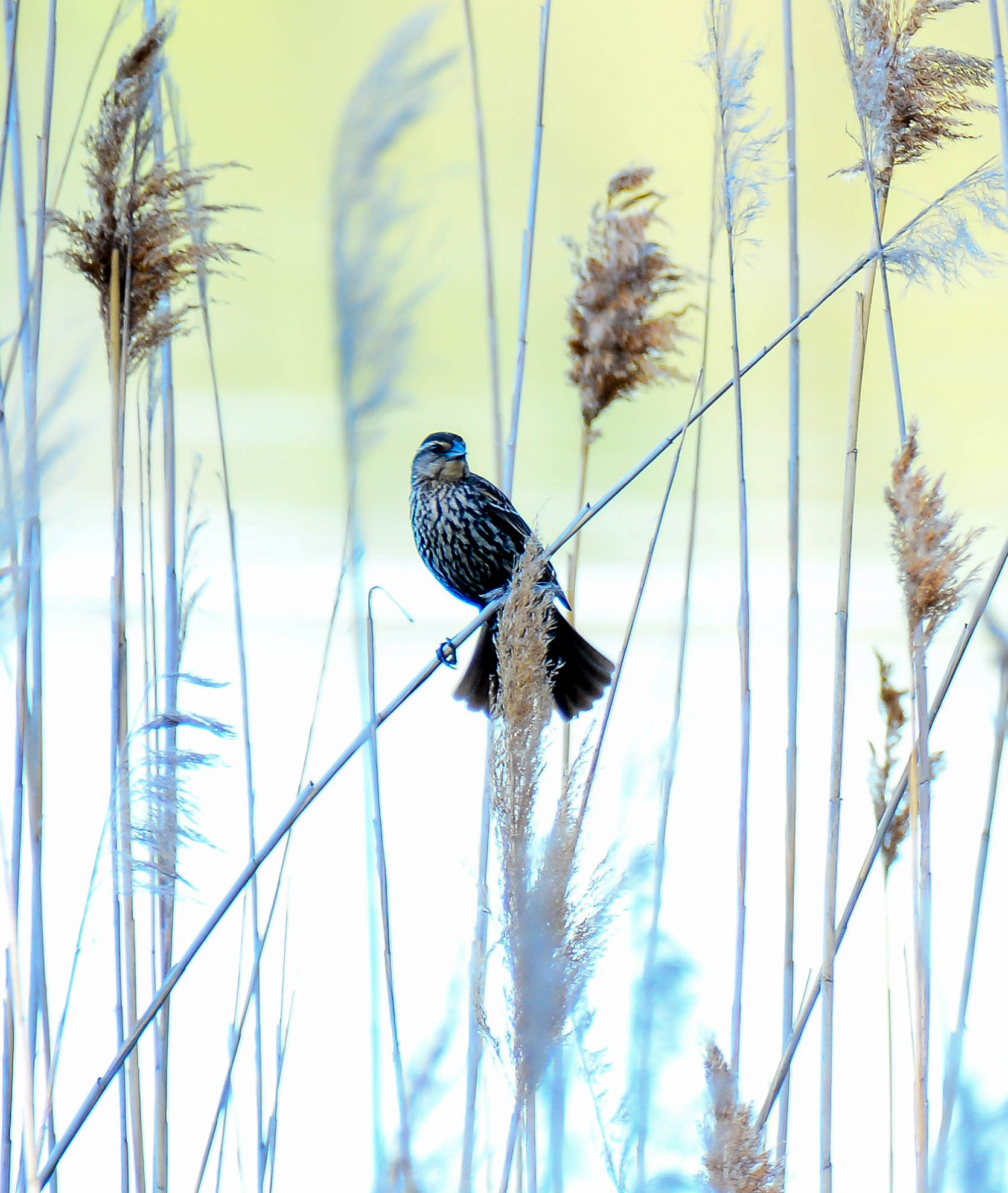
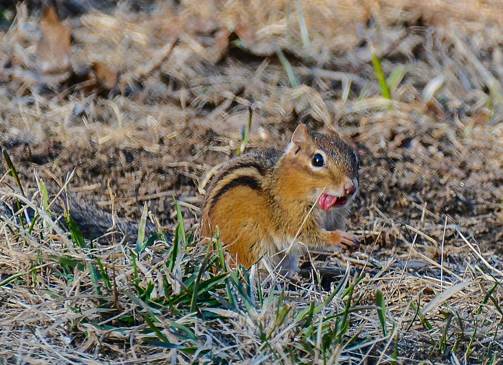
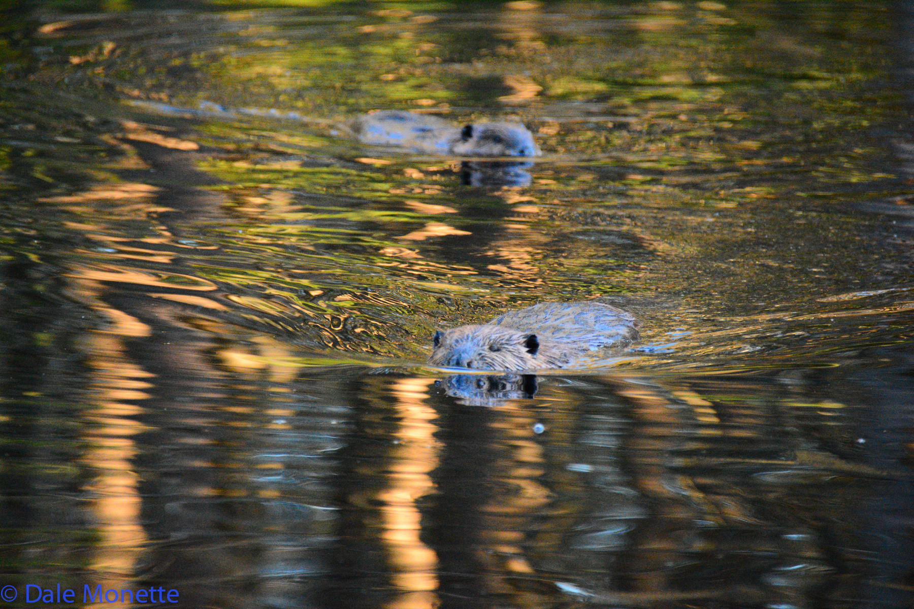
"What are you looking at mate? Take a picture it lasts longer !"

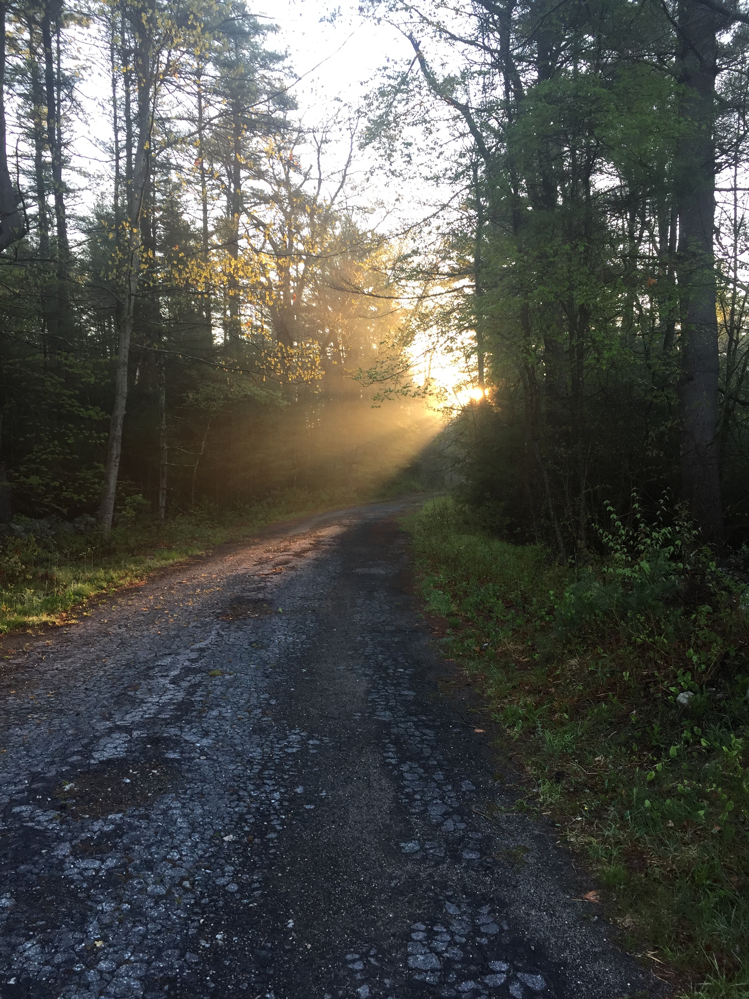
This is part of the old Route 21 that ran from south to north up through the Quabbin Valley from Belchertown to Athol before the Quabbin was constructed in the mid 1030's. 5/16/16
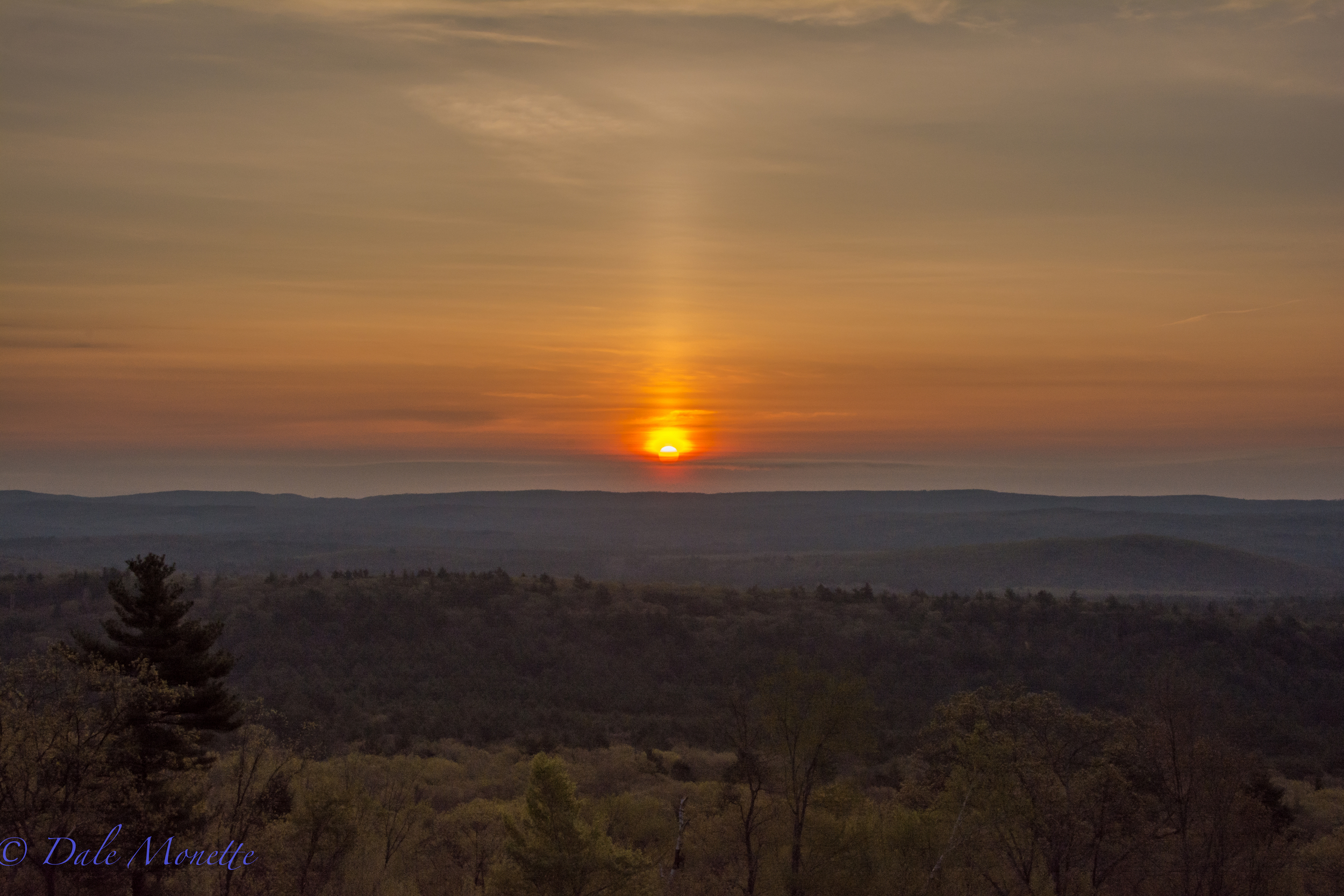
Sunrise, New Salem MA. May 13th, 2016
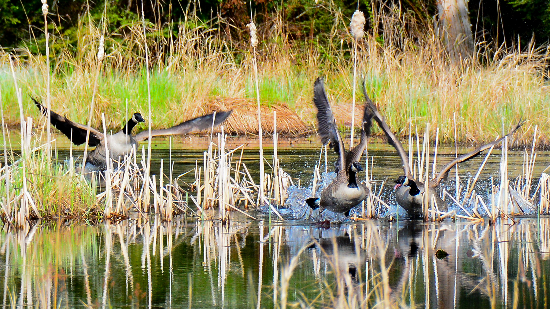
Canada geese do battle for territories in beaver ponds and sections of the main reservoir. The battles end with one pair being driven off.
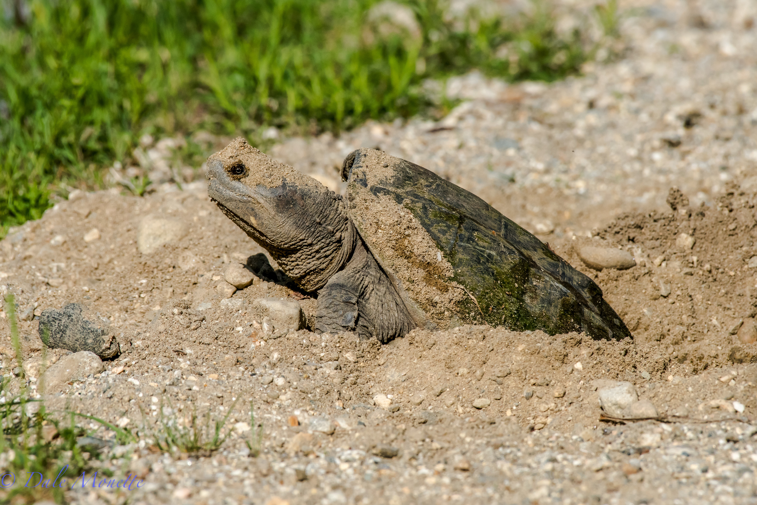
She looks prehistoric huh ? A female snapping turtle laying her eggs along the shore of the Quabbin Reservoir on June 1st. Lots of turtles out laying eggs as happens each June. Watch out when driving for turtles on the roads around wetlands. 6/3/16

Water runs over the spillway when the Quabbin reaches full capacity which is 530 feet above sea level.
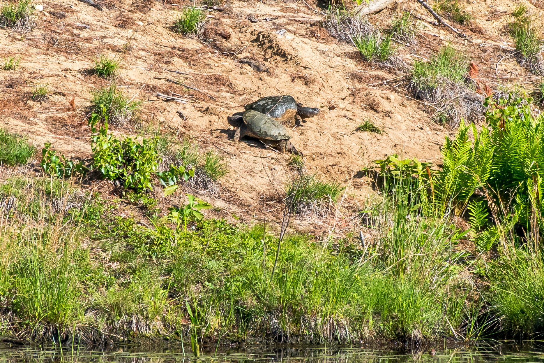
Here are two large snapping turtles about to lay their eggs at a sandy place on the waters edge. These snappers have historically been using this spot for years and years every June. The sex of the young turtles will be determined by how warm the eggs keep while buried in the sand. 6/2/16
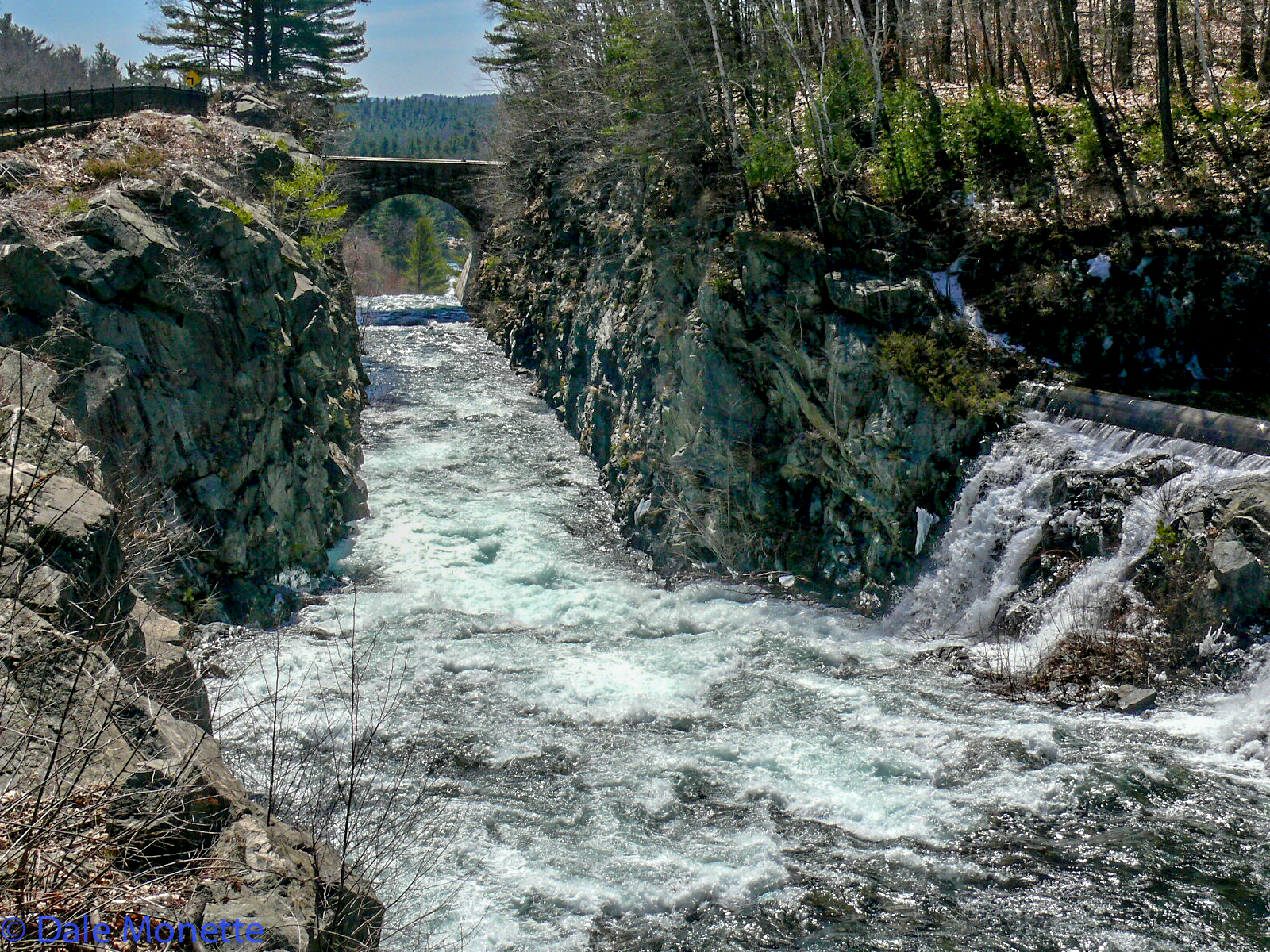
It follows a sluiceway after it flows over a 400 foot long dam.
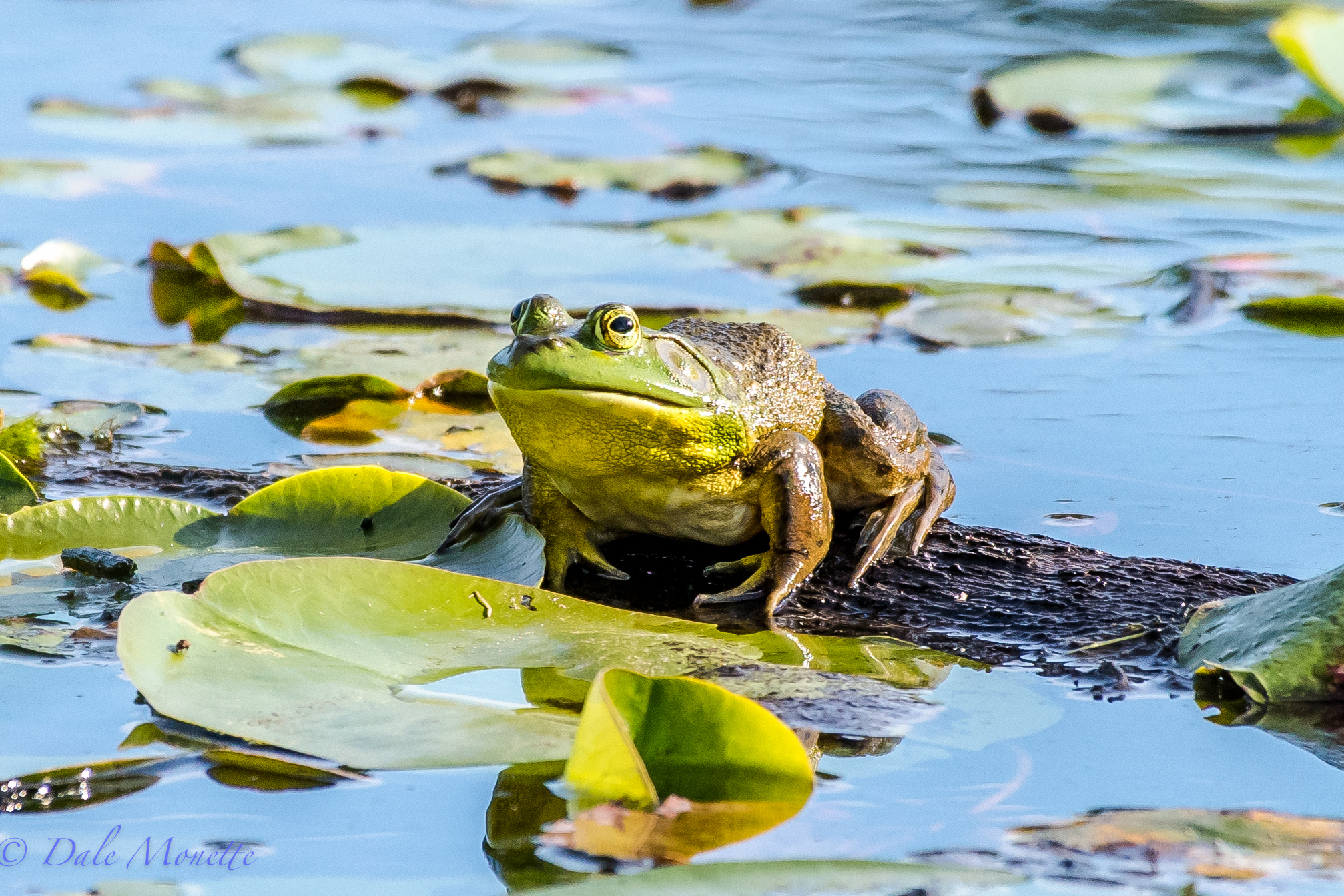
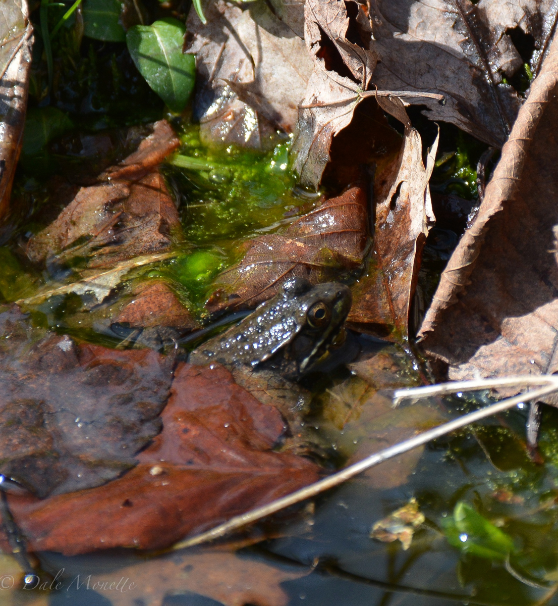
Ribbit !! A Big bullfrog was setting on this log catching flies..... 5/31/16
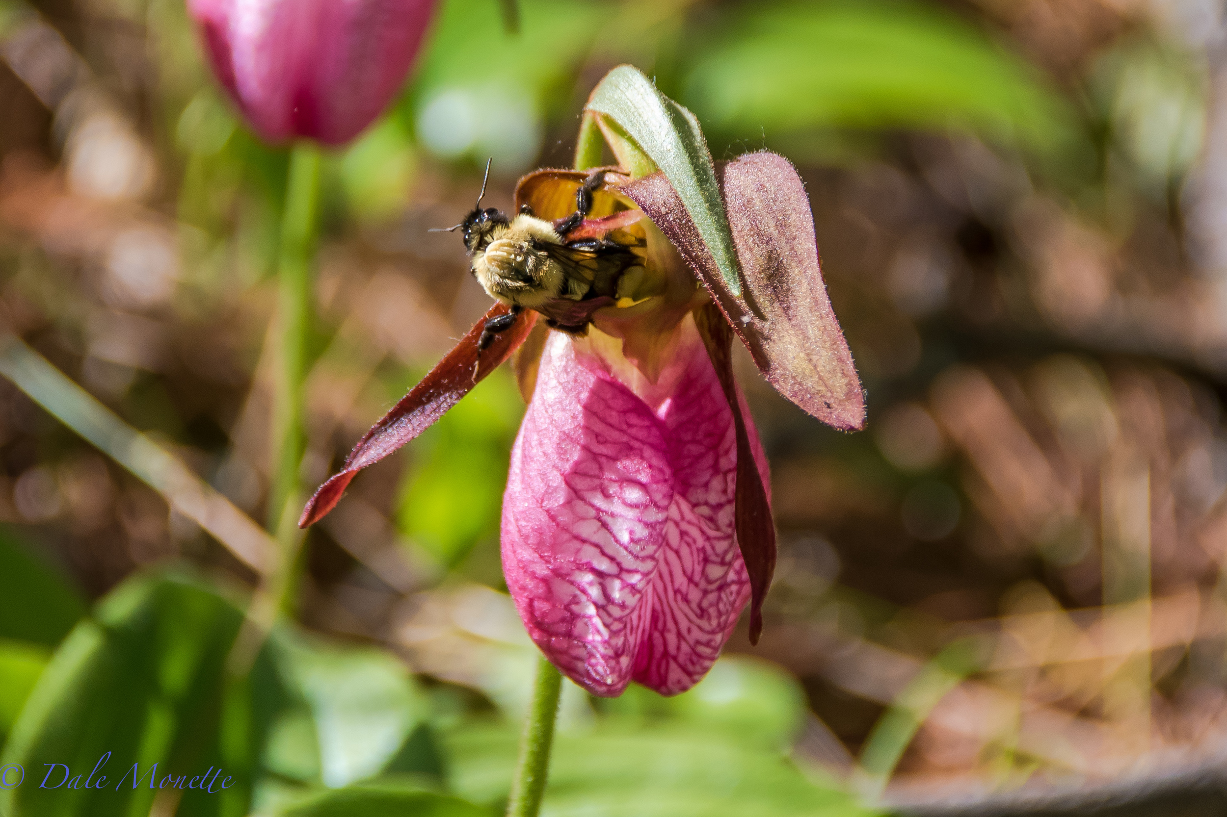
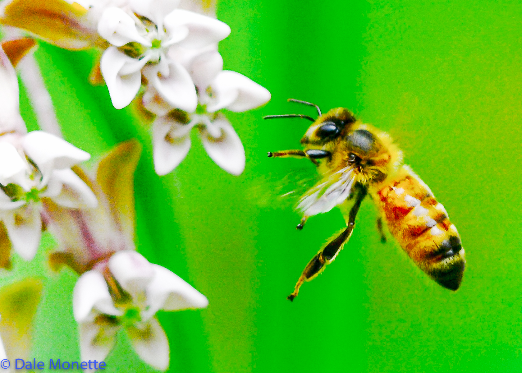
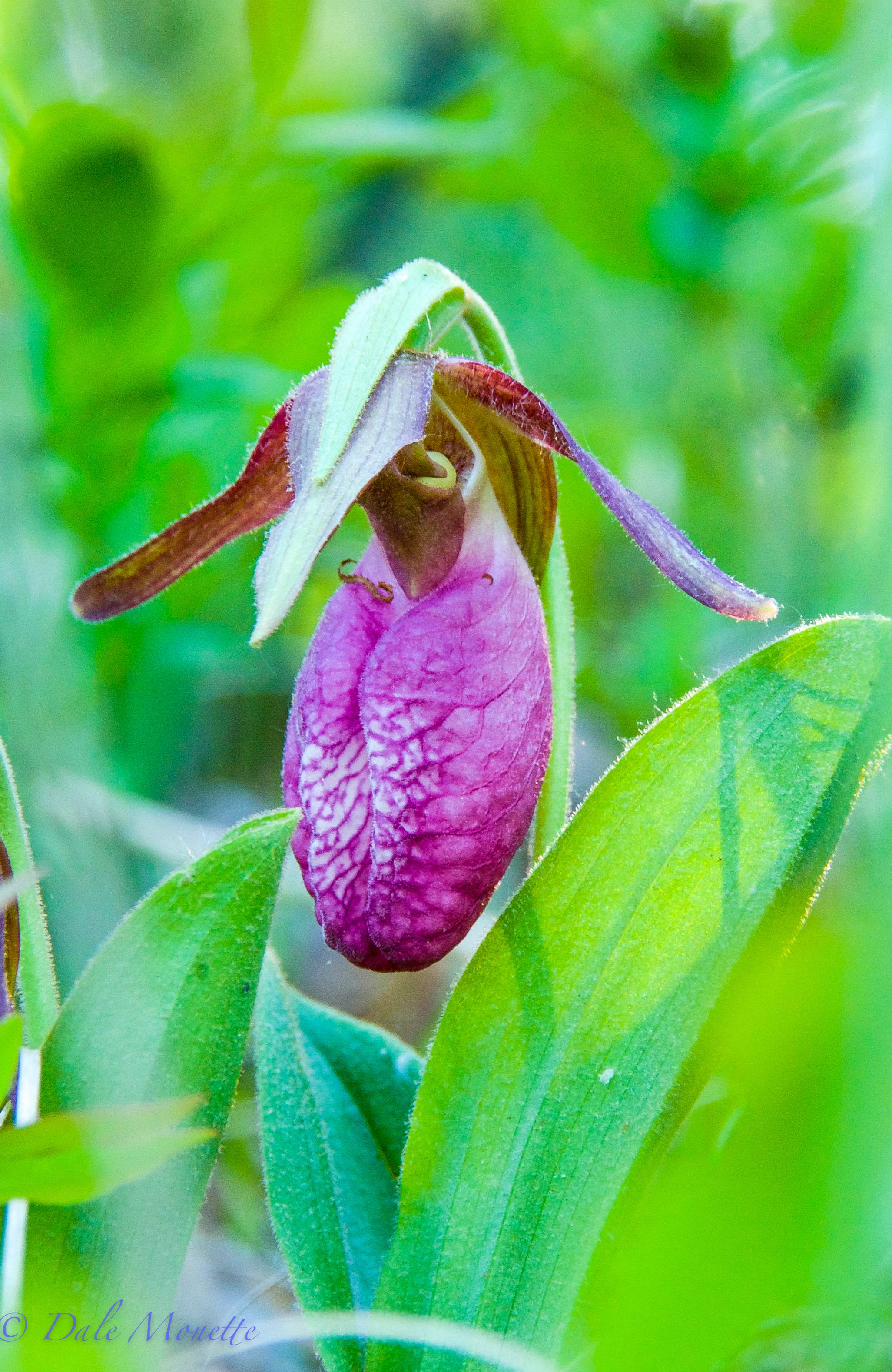
Lady slippers are out in full force right now in the Quabbin watershed. heres a bee that I watched go into the bottom of this flower and come out the top after about 2 minutes of buzzing around inside. 6/2/16
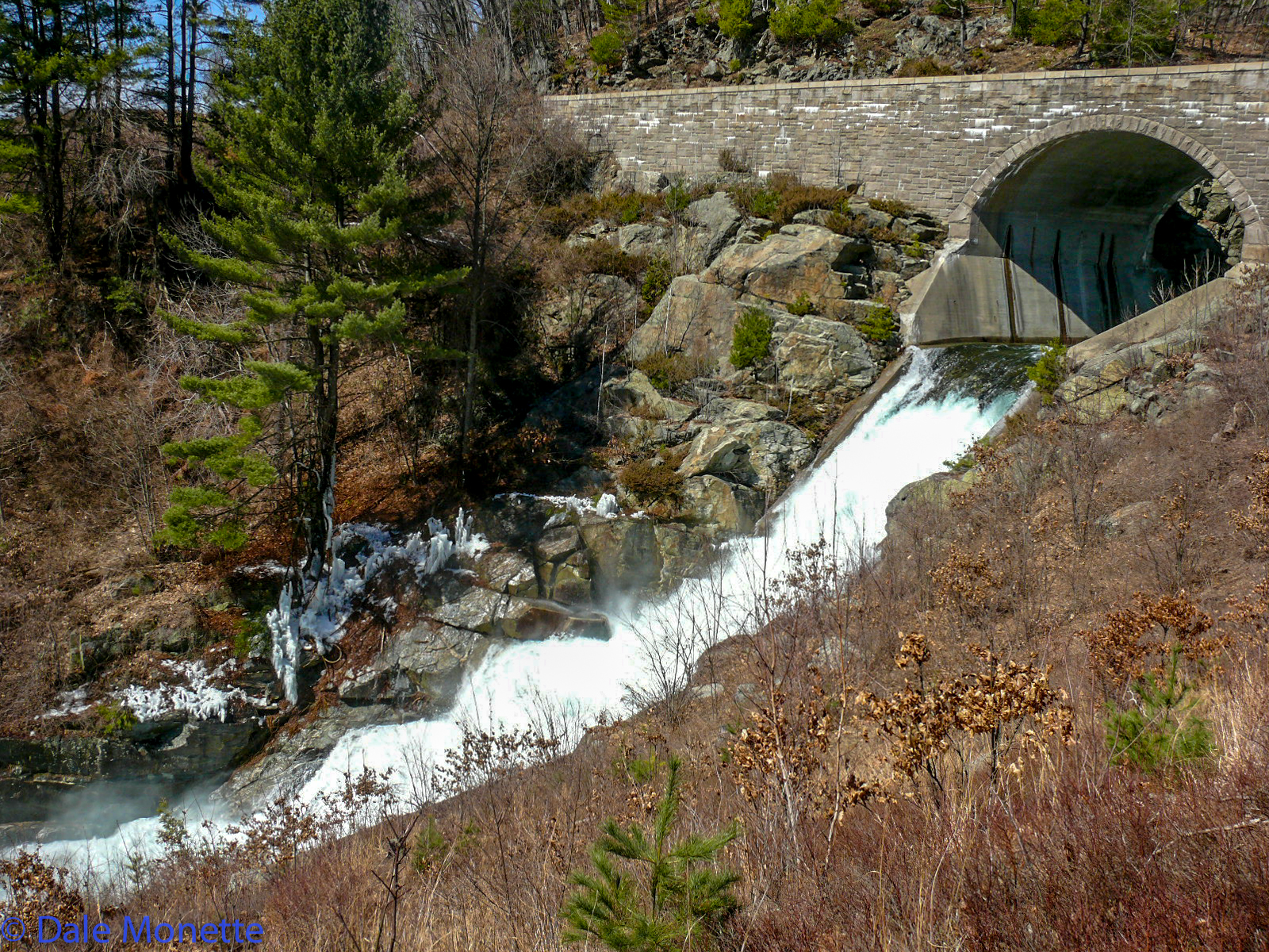
It then flows into a longer sluiceway and into the Swift River.
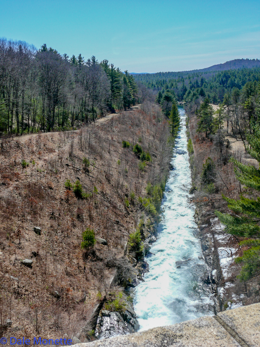
In the spring when the Spillway dam is flowing over its quite a sight. It has only flowed over 50% of the years since constructed.
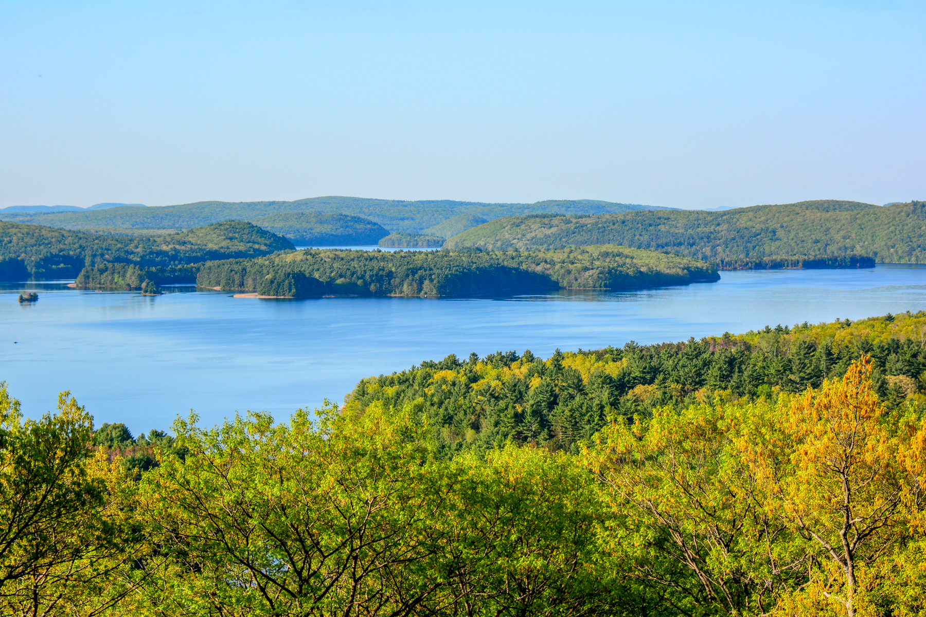
The view from Soapstone Mountain as spring turns into summer. Below is the location of the former town of North Dana.
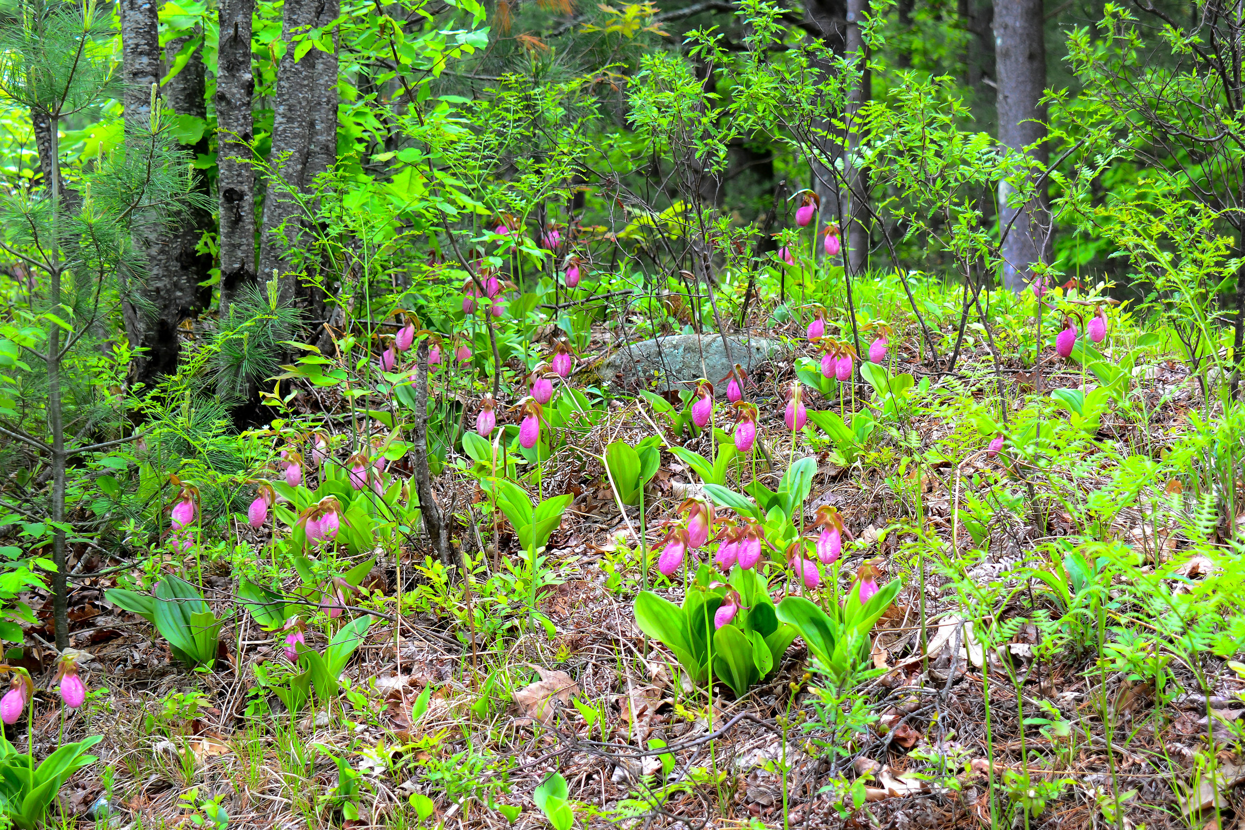
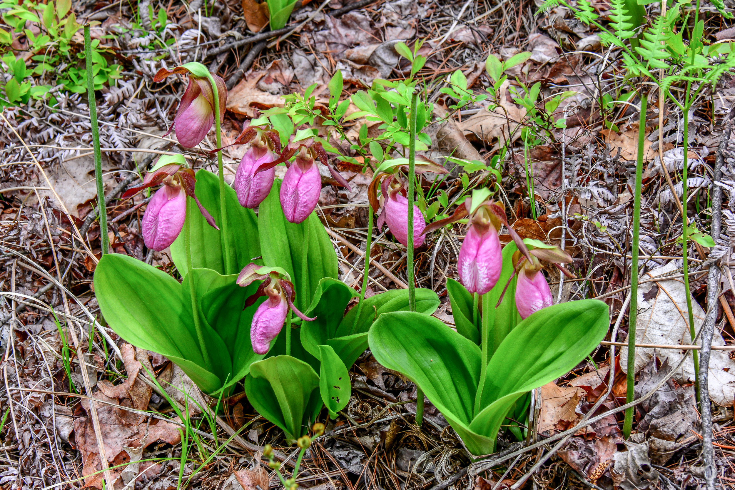
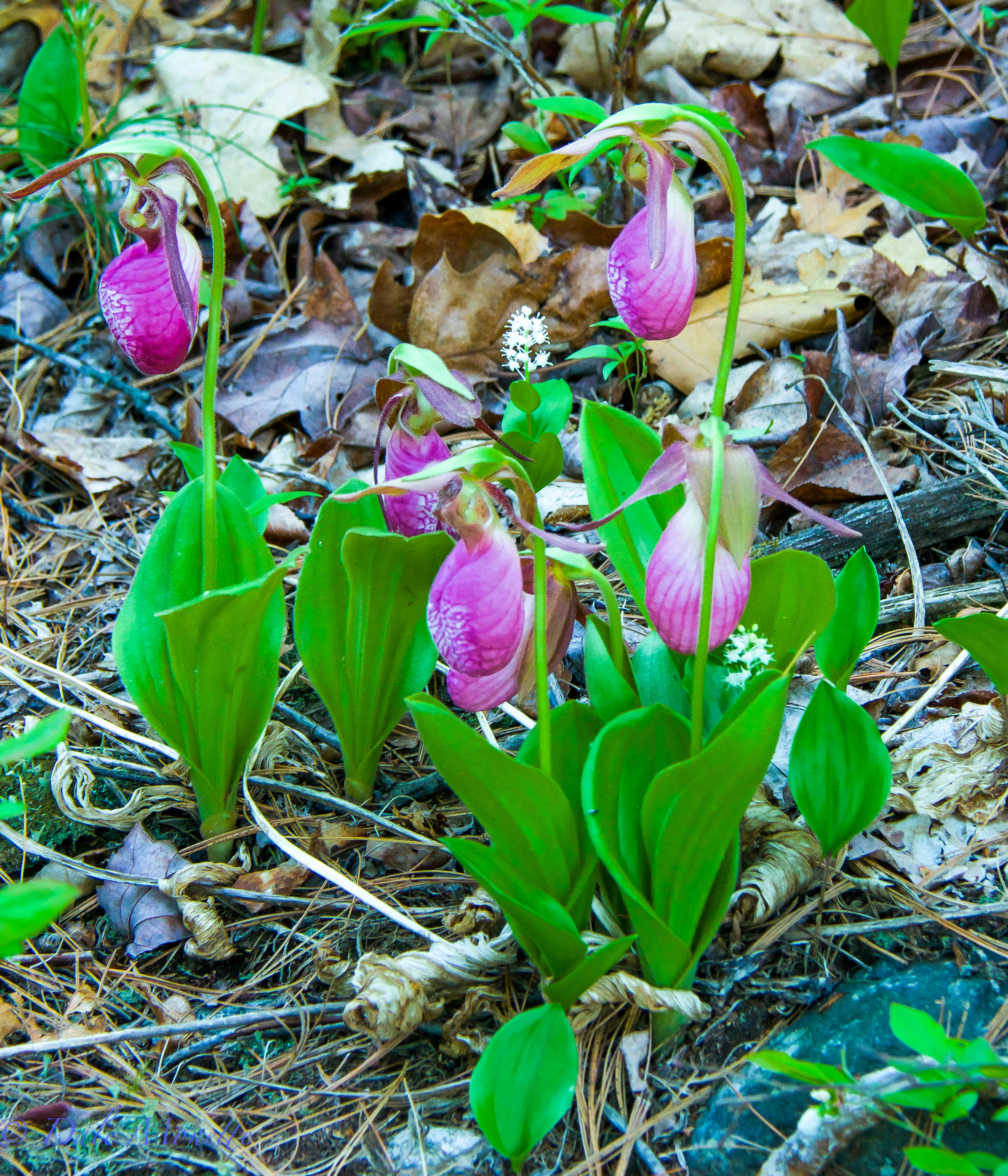
These are the first ones Ive found. 5/23/15
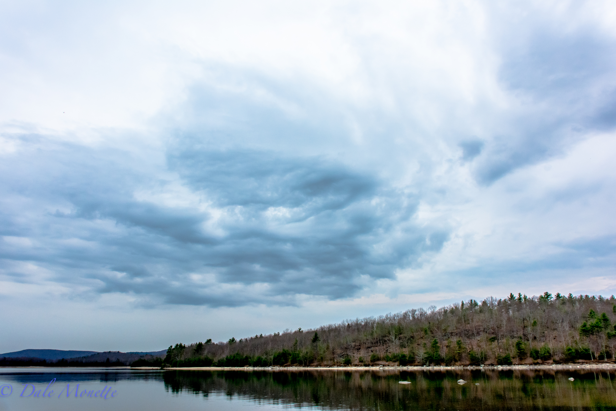
The Quabbin Reservoir has some of the best cloud formations in Massachusetts year round ! Early morning right after sunrise. 4/22/16
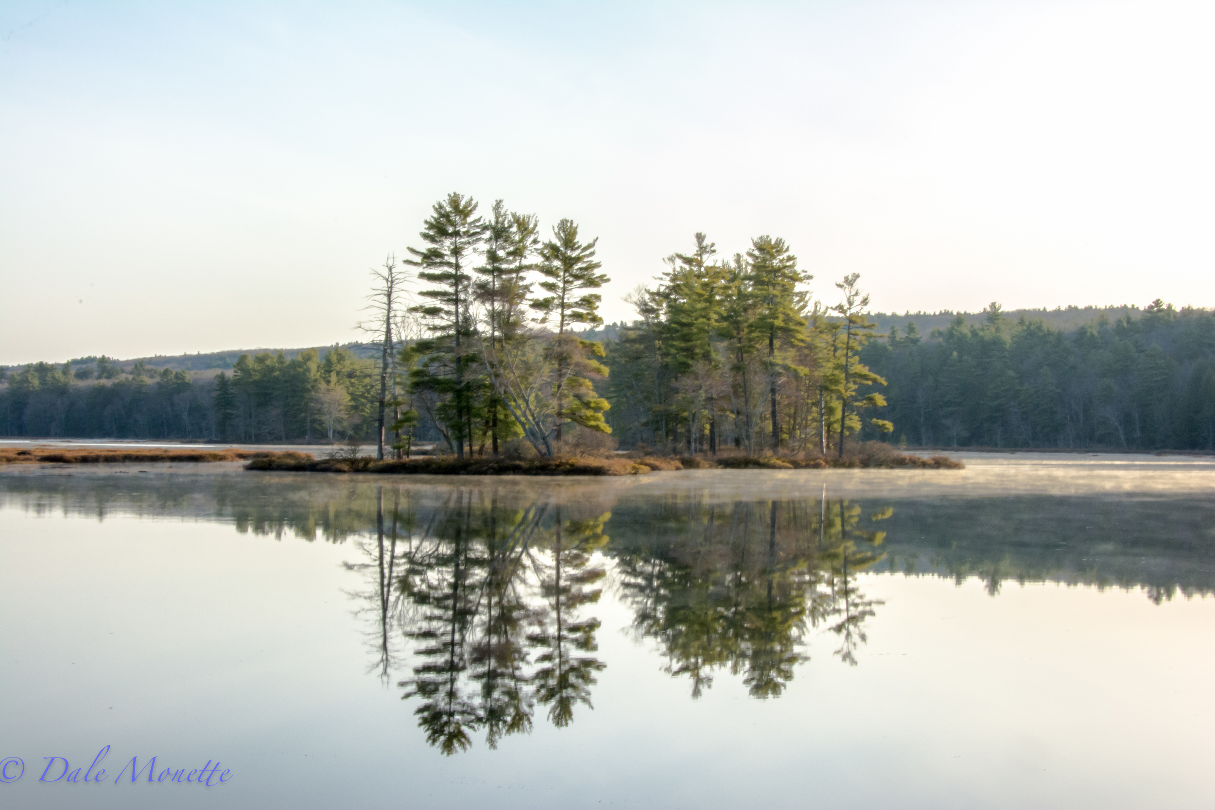
Harvard Pond in Petersham, MA. 4/18/16
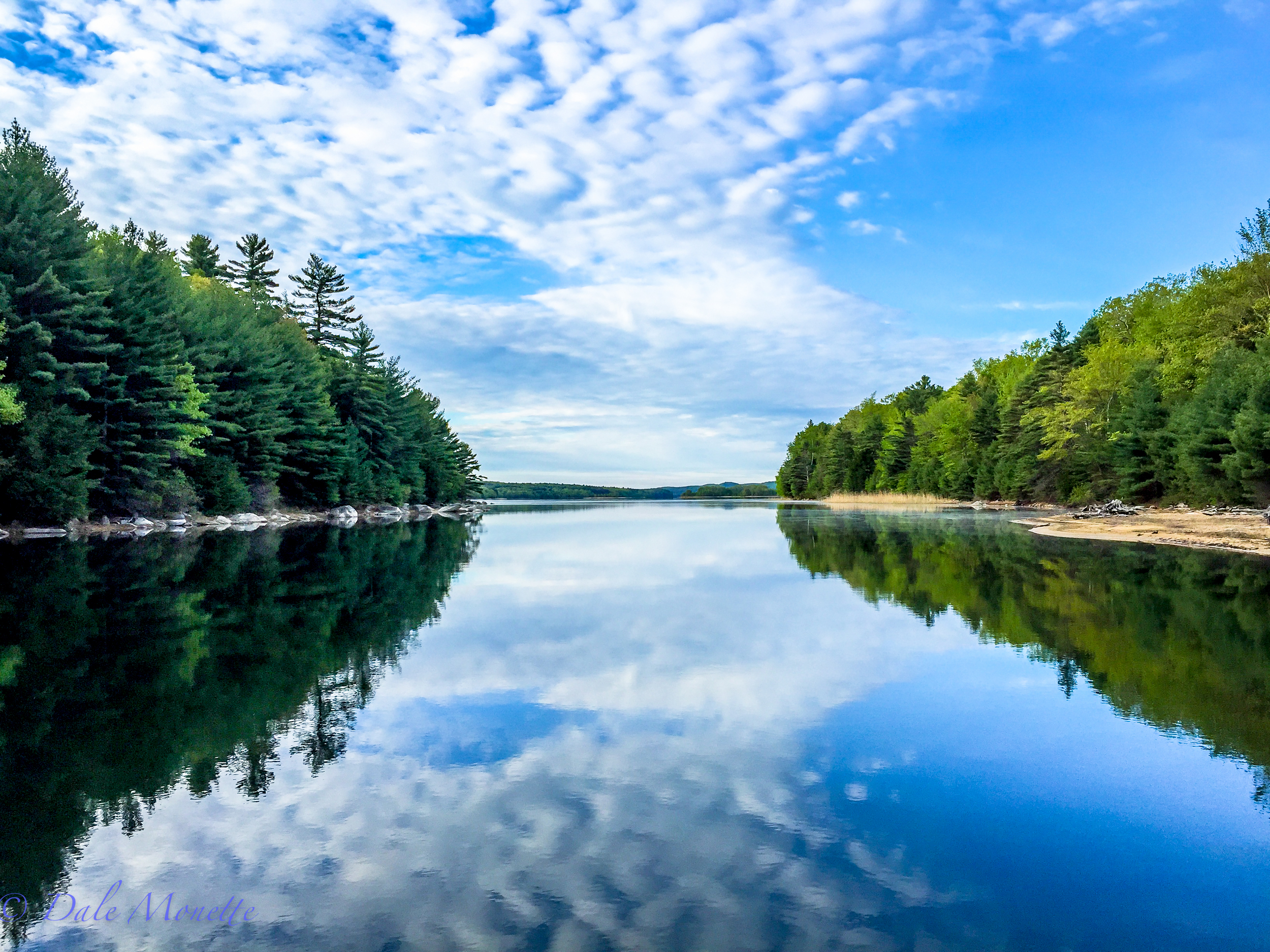
Looking south from a boat coming down the channel. Taken with my iPhone 6 ...
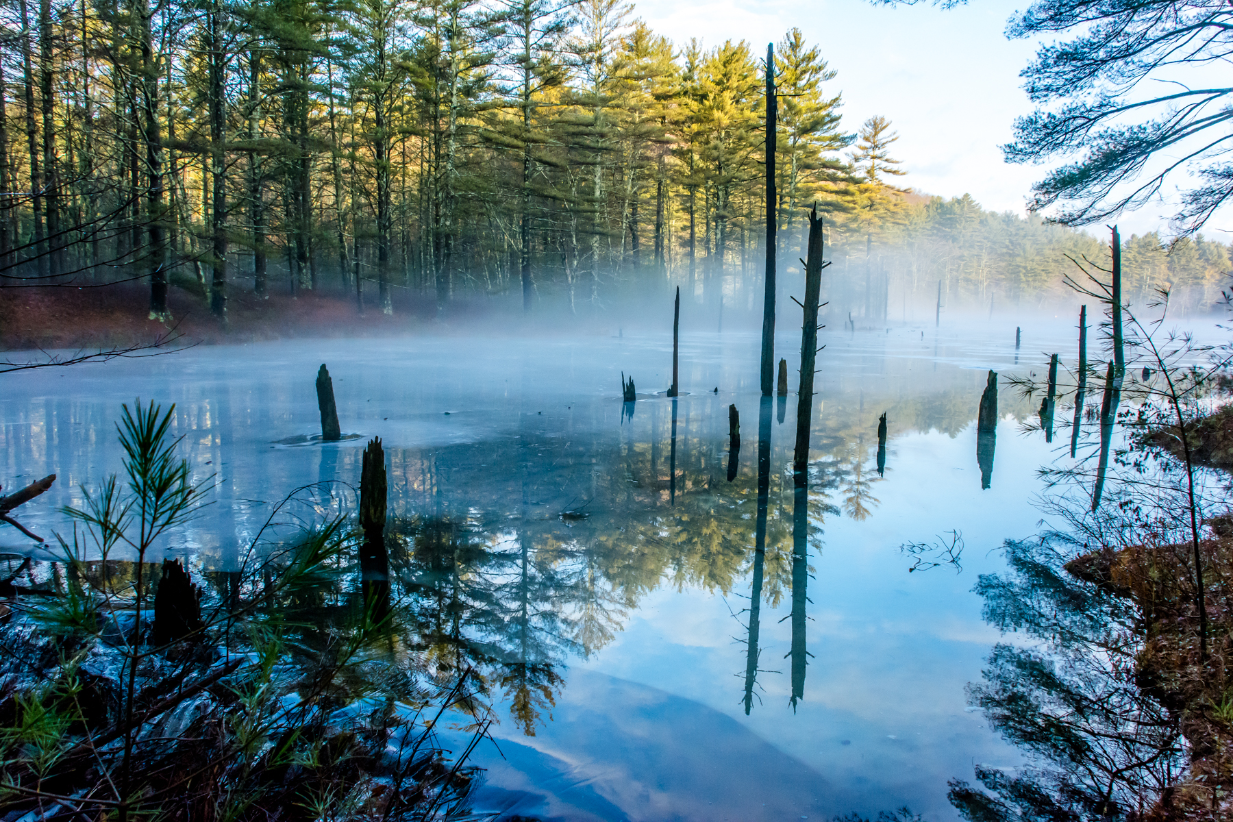
An early morning shot of a beaver pond on the Quabbin watershed after 1.5 inches of rain overnight. The ice is starting to melt! 2/25/16
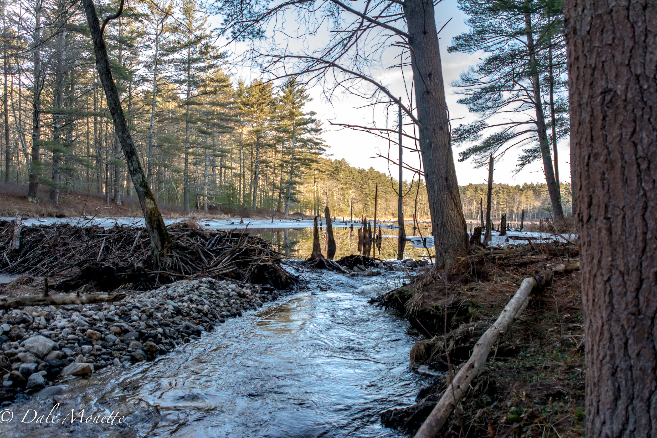
One of my favorite beaver ponds had a breach from all the rains within the last few weeks. The family of beavers are gone and this pond is draining slowly.
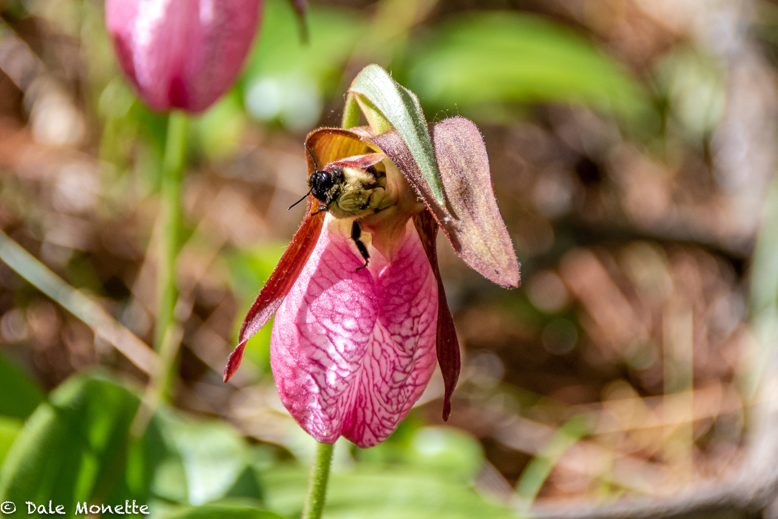
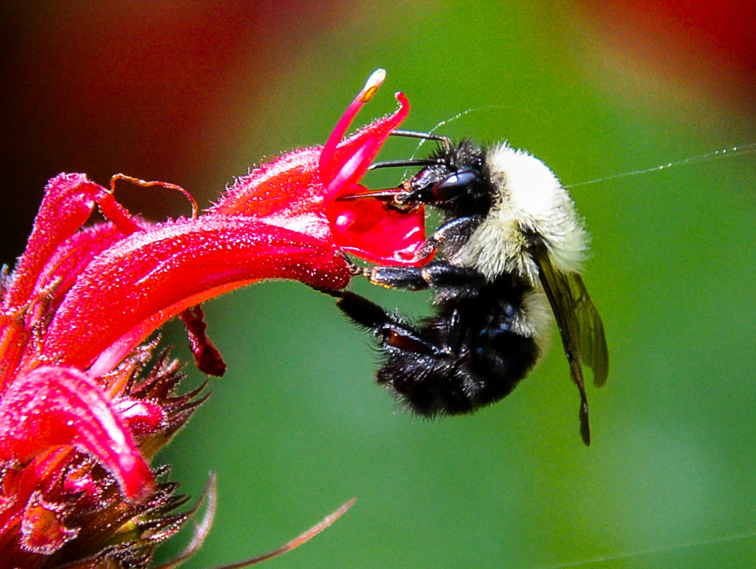
I watched this bumble bee climb up from the bottom, and come out the top of this lady slipper.
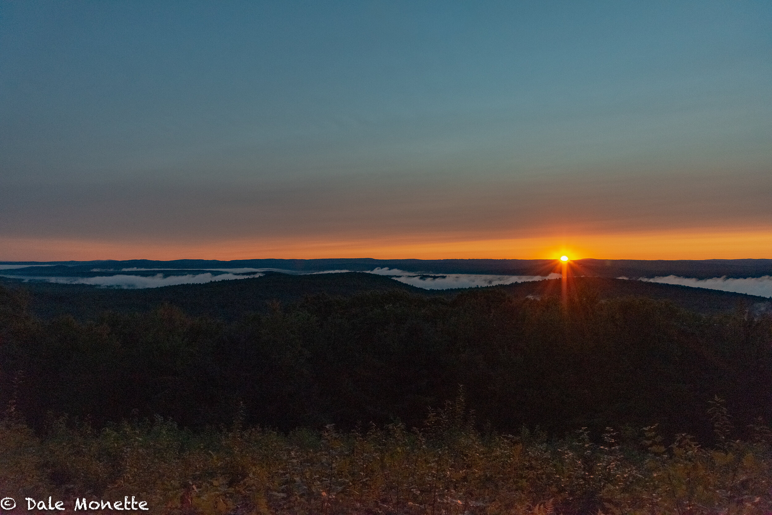
A great early fall sunrise over the northern Quabbin watershed :) with Mt Wachusett on the right side of the sun on the horizon.


Looking north from the old Monson Turnpike Road heading from North Dana. Early April after the 2015 winter. taken 4/11/15
The west branch of Fever Brook dumps into the Quabbin from this beaver pond below Soapstone Mountain.
90 years ago this pond was used as an ice pond. Local residents cut blocks of ice out of it to use in ice boxes to keep food cool.
West branch of Fever Brook starts to open up in mid March.
Some foggy days can be very good for photos as fog dissipates. 4/22/15
"What are you looking at mate? Take a picture it lasts longer !"
This is part of the old Route 21 that ran from south to north up through the Quabbin Valley from Belchertown to Athol before the Quabbin was constructed in the mid 1030's. 5/16/16
Sunrise, New Salem MA. May 13th, 2016
Canada geese do battle for territories in beaver ponds and sections of the main reservoir. The battles end with one pair being driven off.
She looks prehistoric huh ? A female snapping turtle laying her eggs along the shore of the Quabbin Reservoir on June 1st. Lots of turtles out laying eggs as happens each June. Watch out when driving for turtles on the roads around wetlands. 6/3/16
Water runs over the spillway when the Quabbin reaches full capacity which is 530 feet above sea level.
Here are two large snapping turtles about to lay their eggs at a sandy place on the waters edge. These snappers have historically been using this spot for years and years every June. The sex of the young turtles will be determined by how warm the eggs keep while buried in the sand. 6/2/16
It follows a sluiceway after it flows over a 400 foot long dam.
Ribbit !! A Big bullfrog was setting on this log catching flies..... 5/31/16
Lady slippers are out in full force right now in the Quabbin watershed. heres a bee that I watched go into the bottom of this flower and come out the top after about 2 minutes of buzzing around inside. 6/2/16
It then flows into a longer sluiceway and into the Swift River.
In the spring when the Spillway dam is flowing over its quite a sight. It has only flowed over 50% of the years since constructed.
The view from Soapstone Mountain as spring turns into summer. Below is the location of the former town of North Dana.
These are the first ones Ive found. 5/23/15
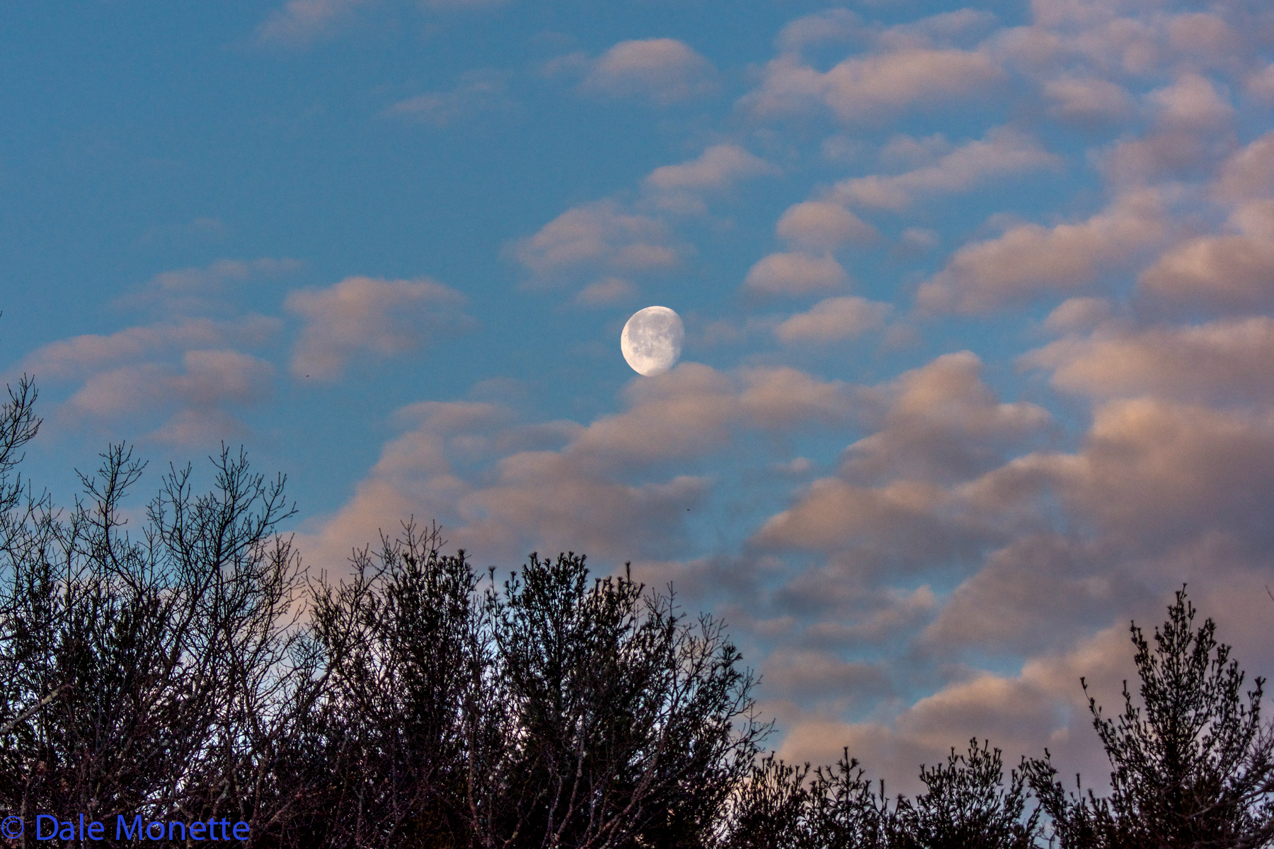
The Quabbin Reservoir has some of the best cloud formations in Massachusetts year round ! Early morning right after sunrise. 4/22/16
Harvard Pond in Petersham, MA. 4/18/16
Looking south from a boat coming down the channel. Taken with my iPhone 6 ...
An early morning shot of a beaver pond on the Quabbin watershed after 1.5 inches of rain overnight. The ice is starting to melt! 2/25/16
One of my favorite beaver ponds had a breach from all the rains within the last few weeks. The family of beavers are gone and this pond is draining slowly.
I watched this bumble bee climb up from the bottom, and come out the top of this lady slipper.
A great early fall sunrise over the northern Quabbin watershed :) with Mt Wachusett on the right side of the sun on the horizon.