
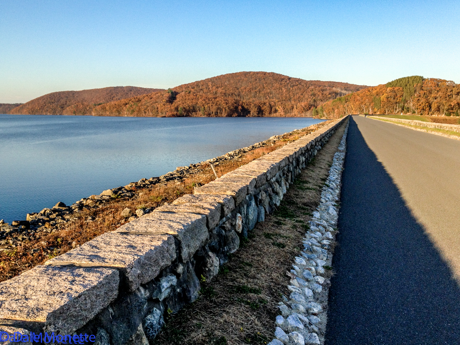
The Winsor Dam is a half mile long and holds back 512 Billion gallons of water in an 18 mile long valley.
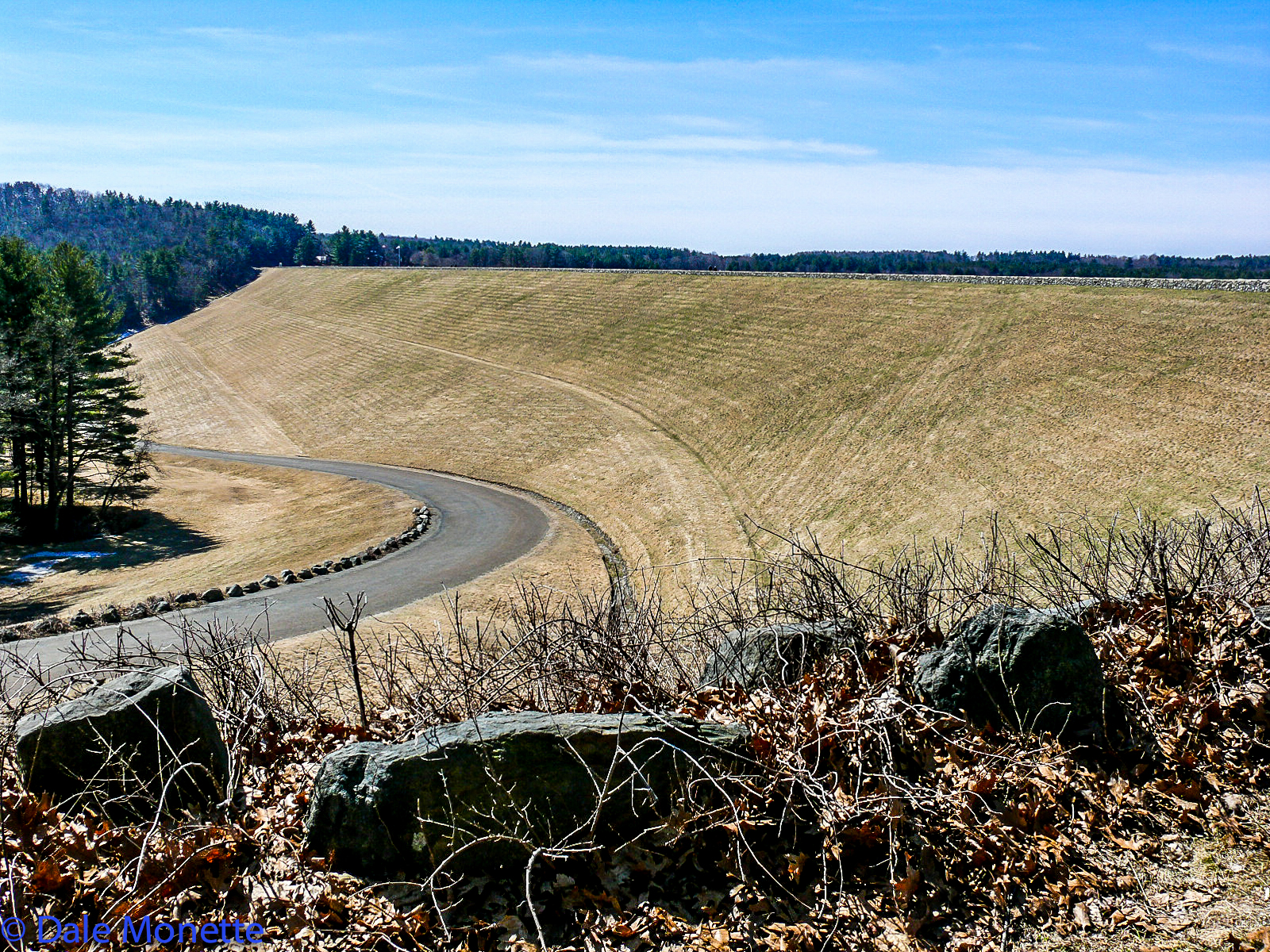
Here is another view of Winsor Dam. I wouldn't want to mow that with a push mower !
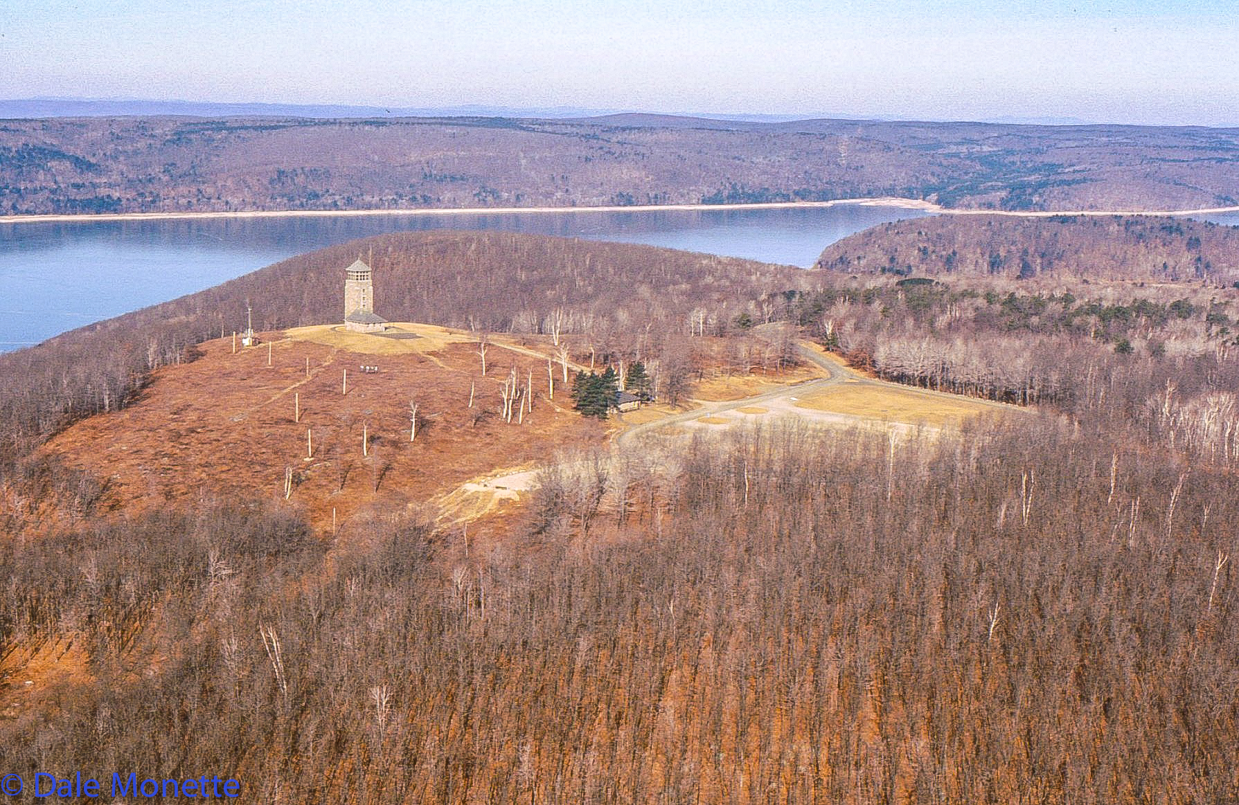
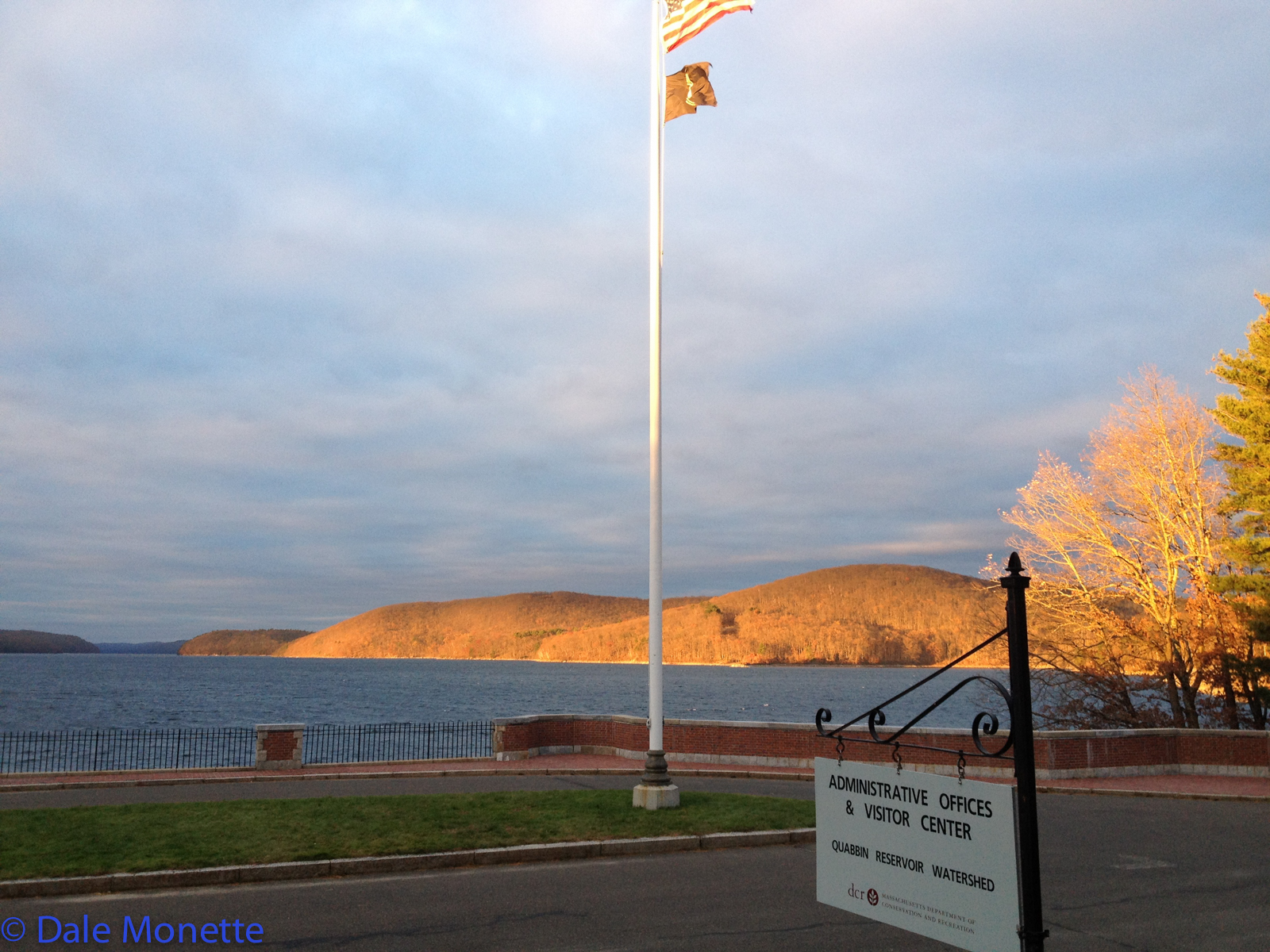
You can find this tower open to the public in Quabbin Park from Easter until a few weeks before Thanksgiving. There is a great view from up on the top floor.
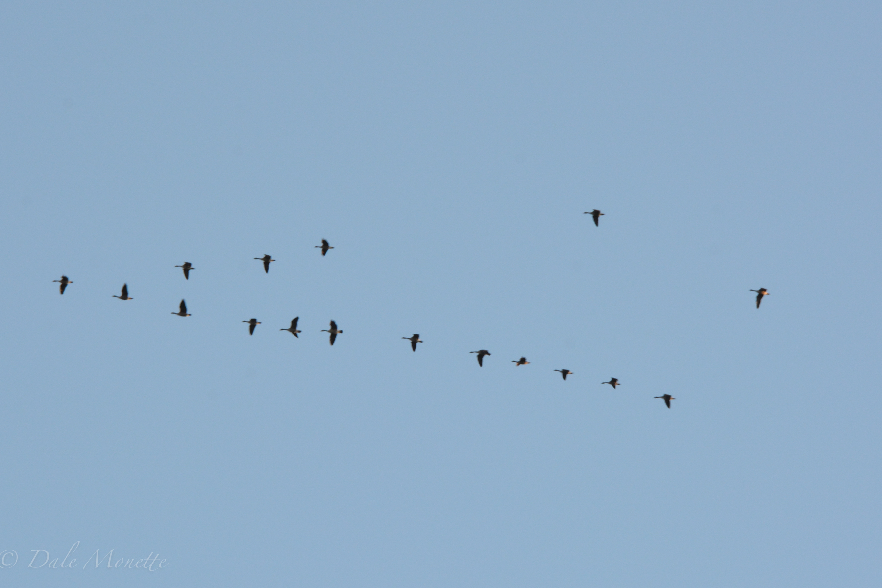
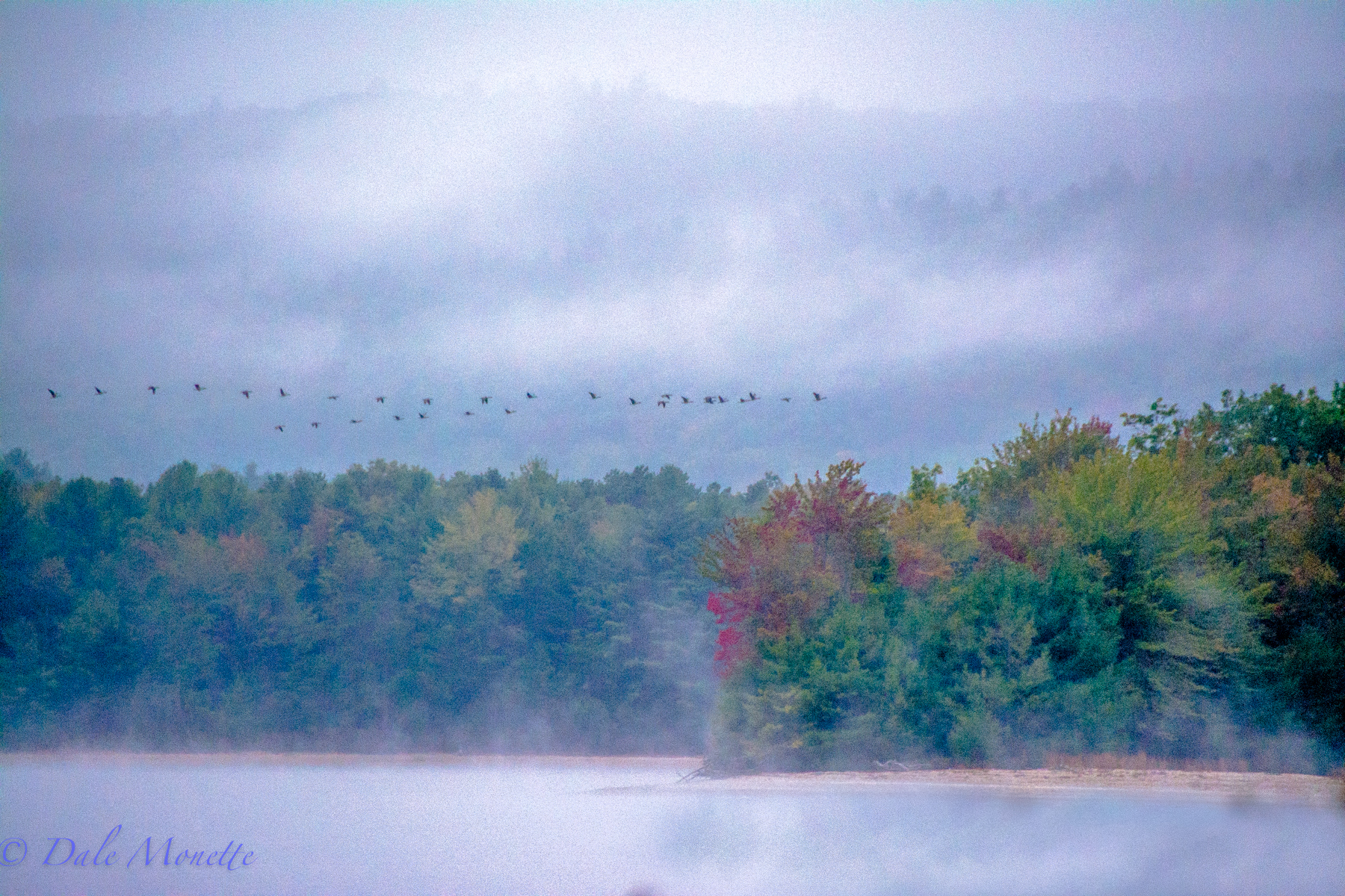
These Canada geese spend the nights on the Quabbin and the days feeding at Hunts Farm in Orange on whats left of the freshly cut feed corn cut by the tractors as they bring in the crop to feed the cows through the winter. Soon these geese will be heading south for the winter, 9/28/15
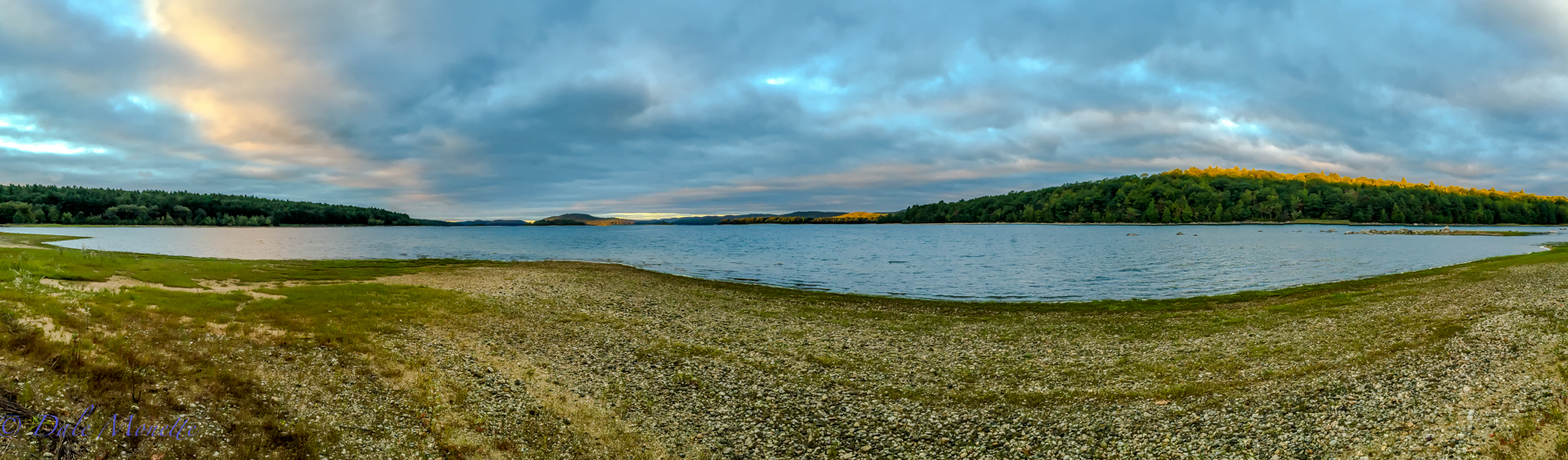
an iPhone 6 pano…..
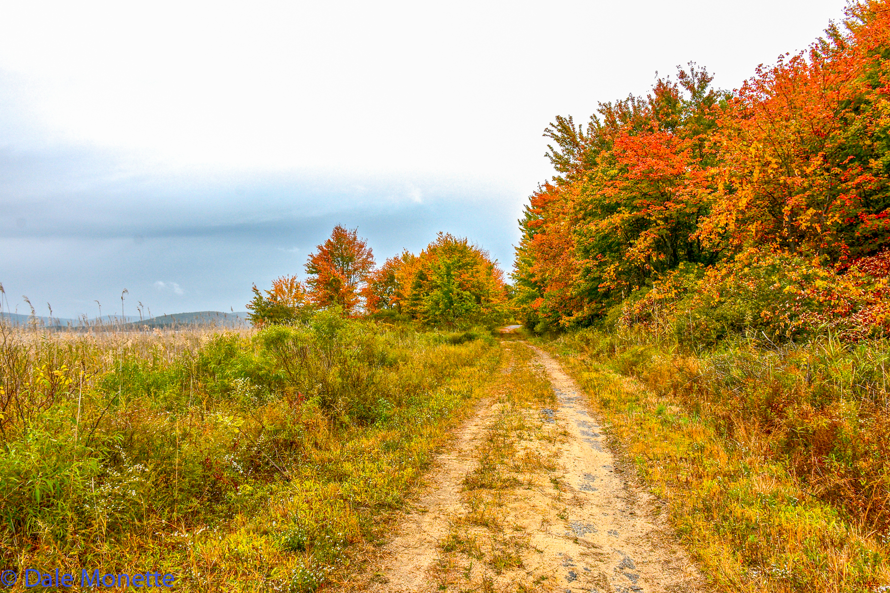
Like lots of places in Quabbin, you can see some of the thousands of tree stumps left from the "woodpeckers". Thats what the local resident called the workers that cleared the 18 mile long valley of every tree known to man in the 1930's to create the 412 billion gallon Quabbin Reservoir 11/10/15
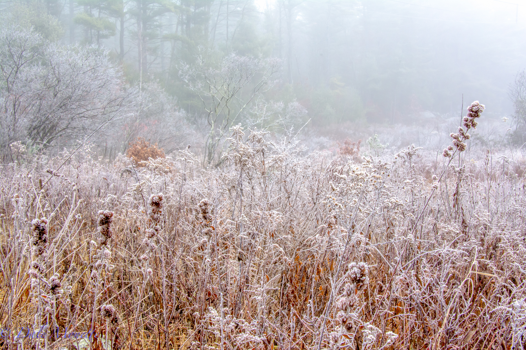
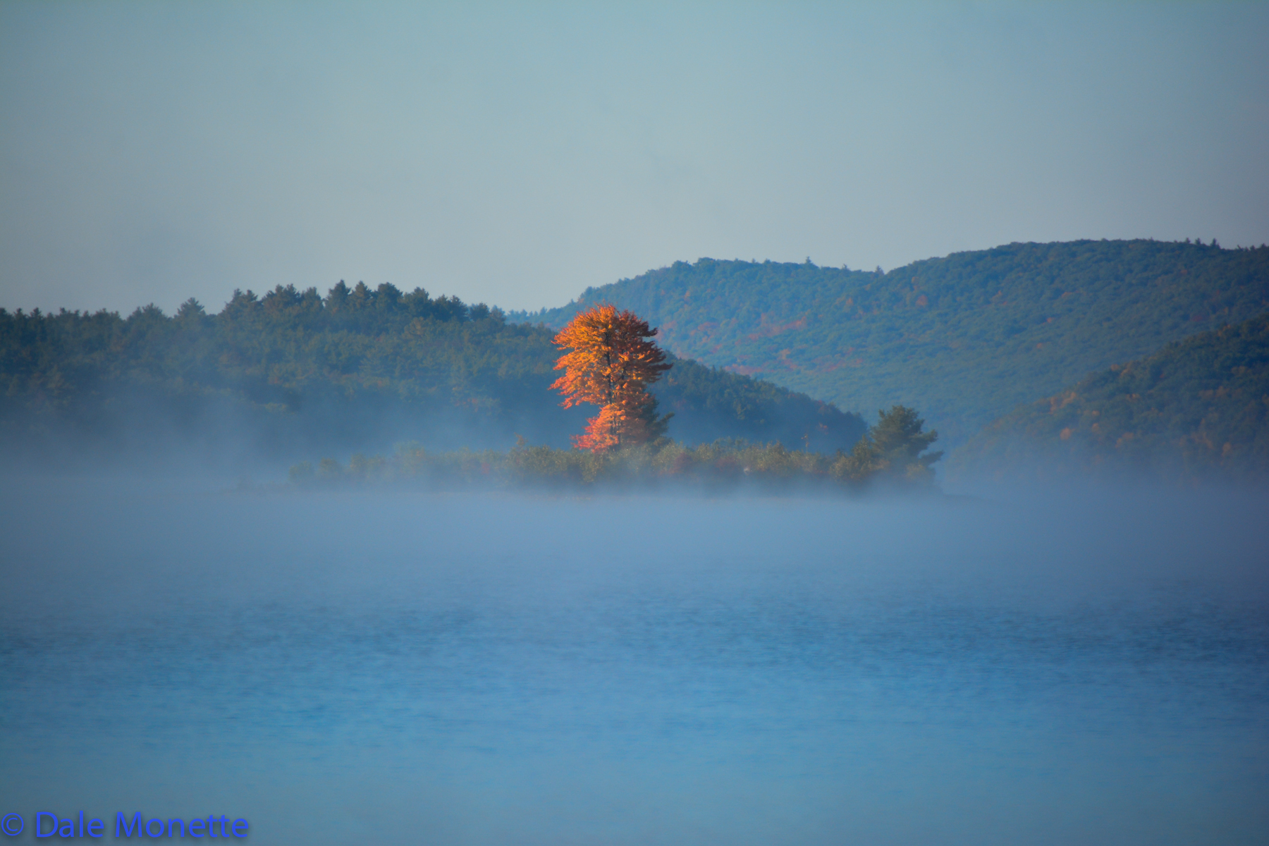
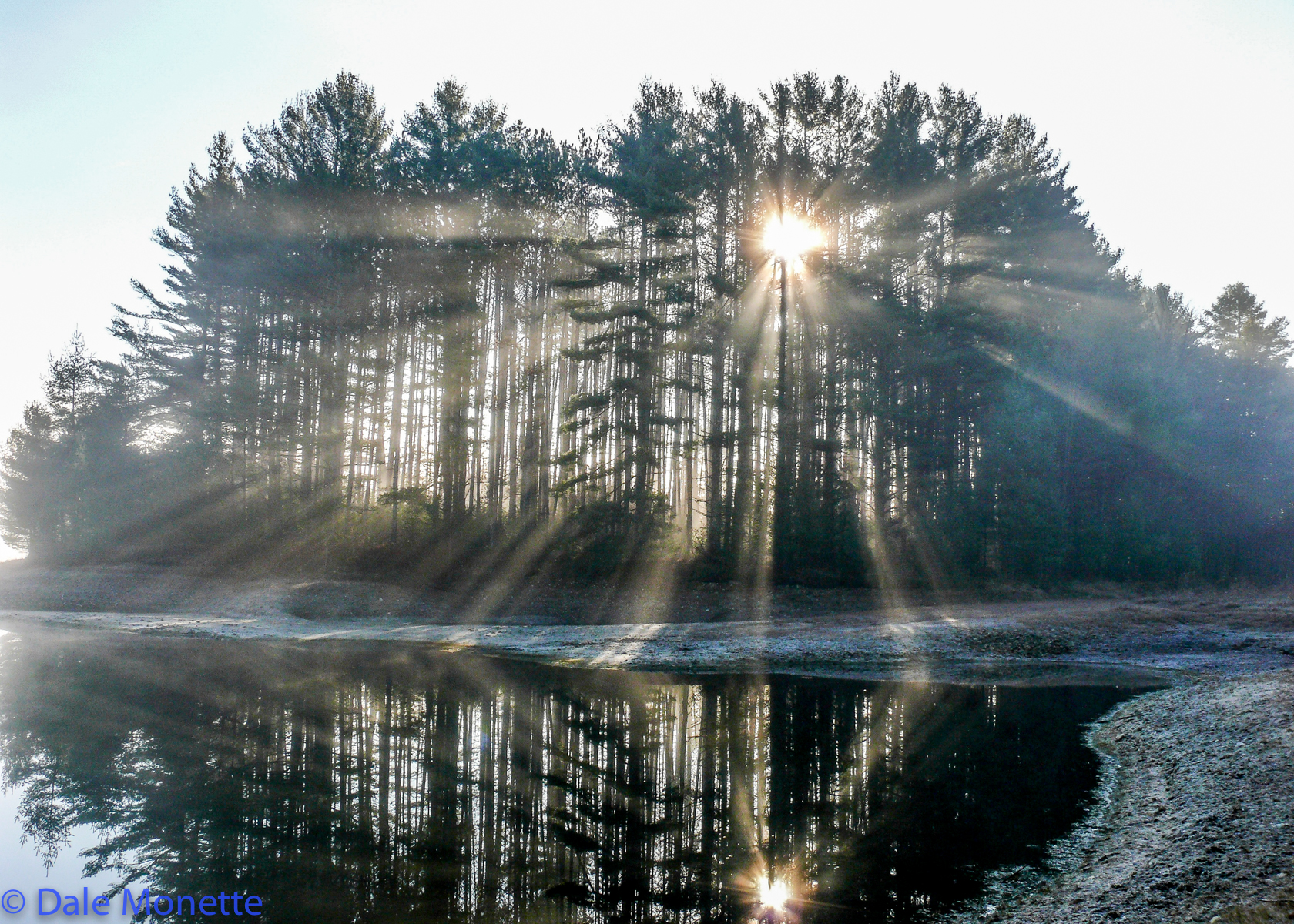
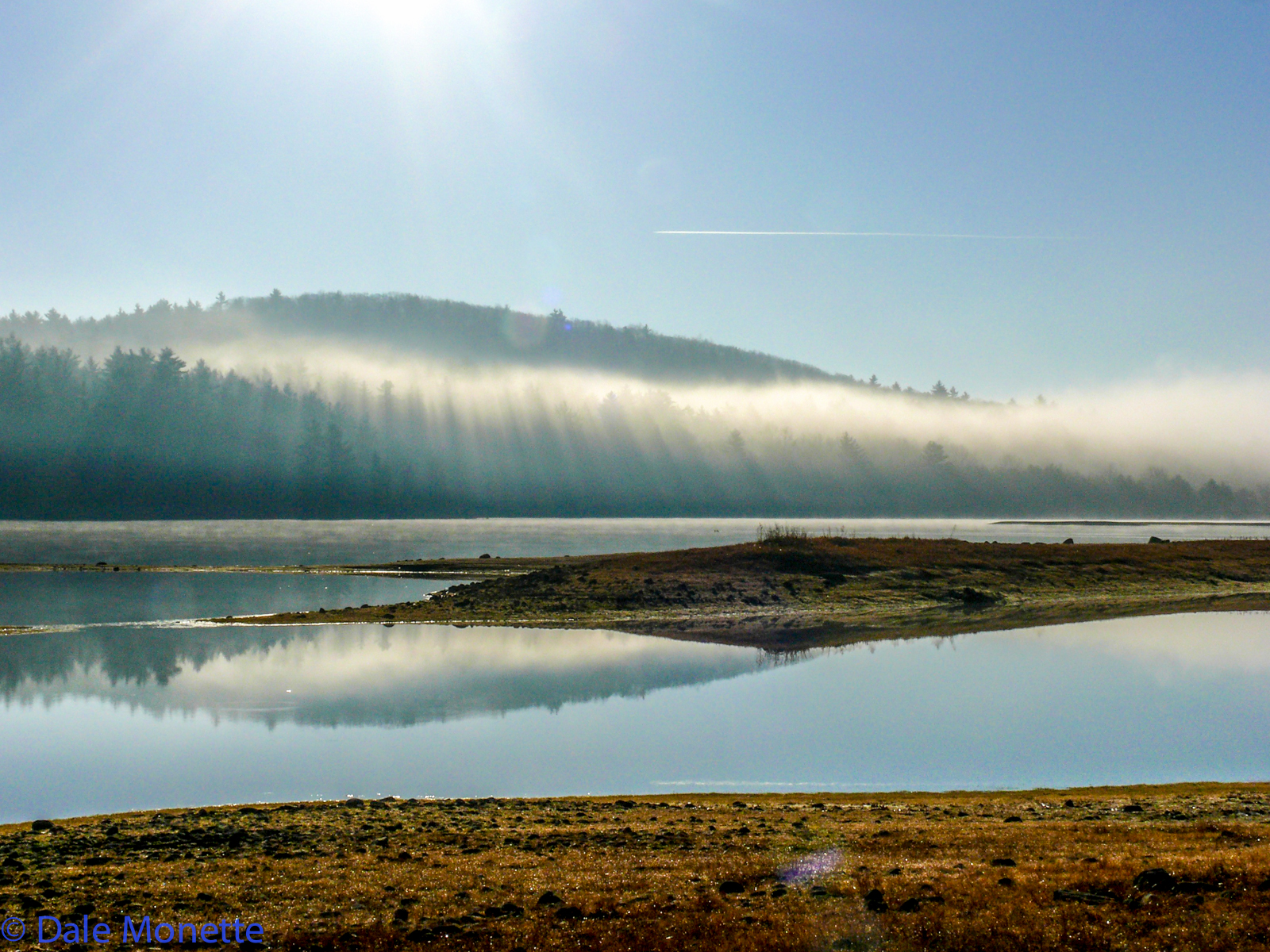
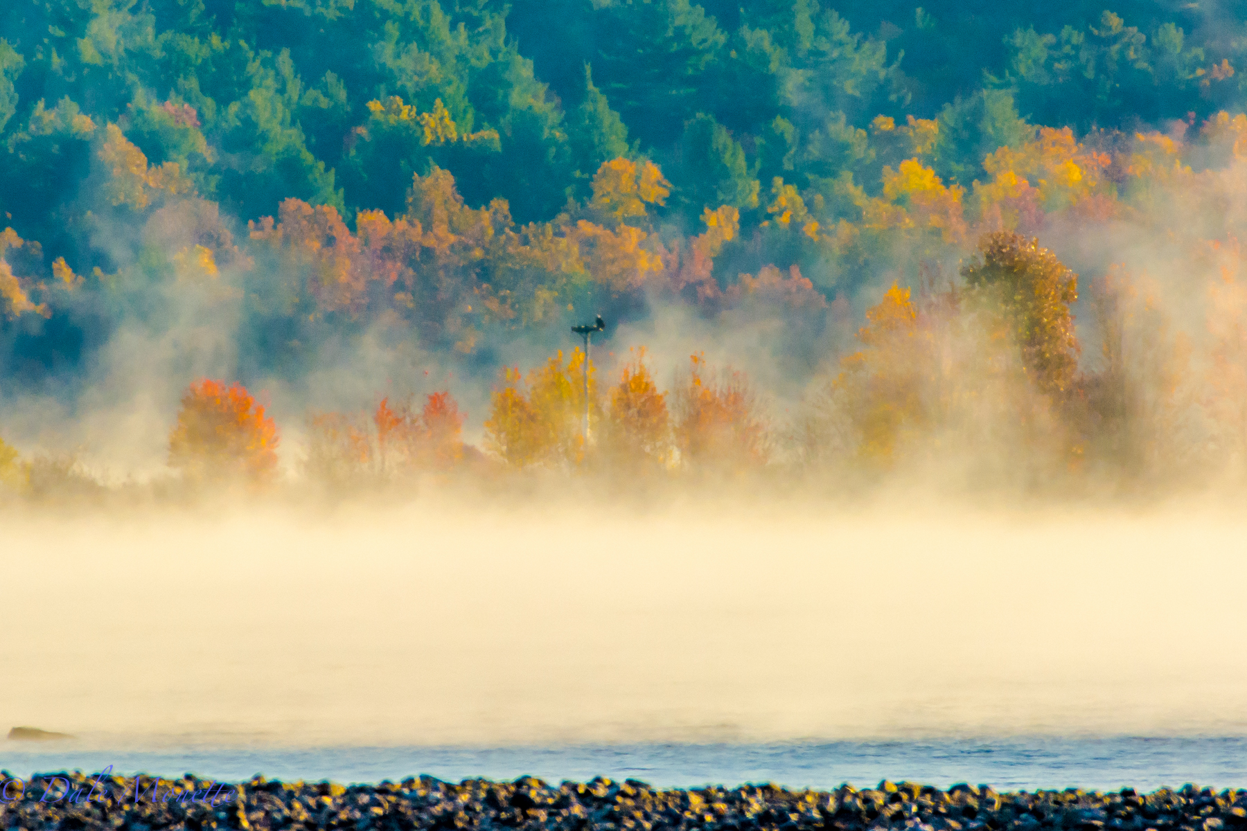
Frost and fog at Quabbin. 12/6/16
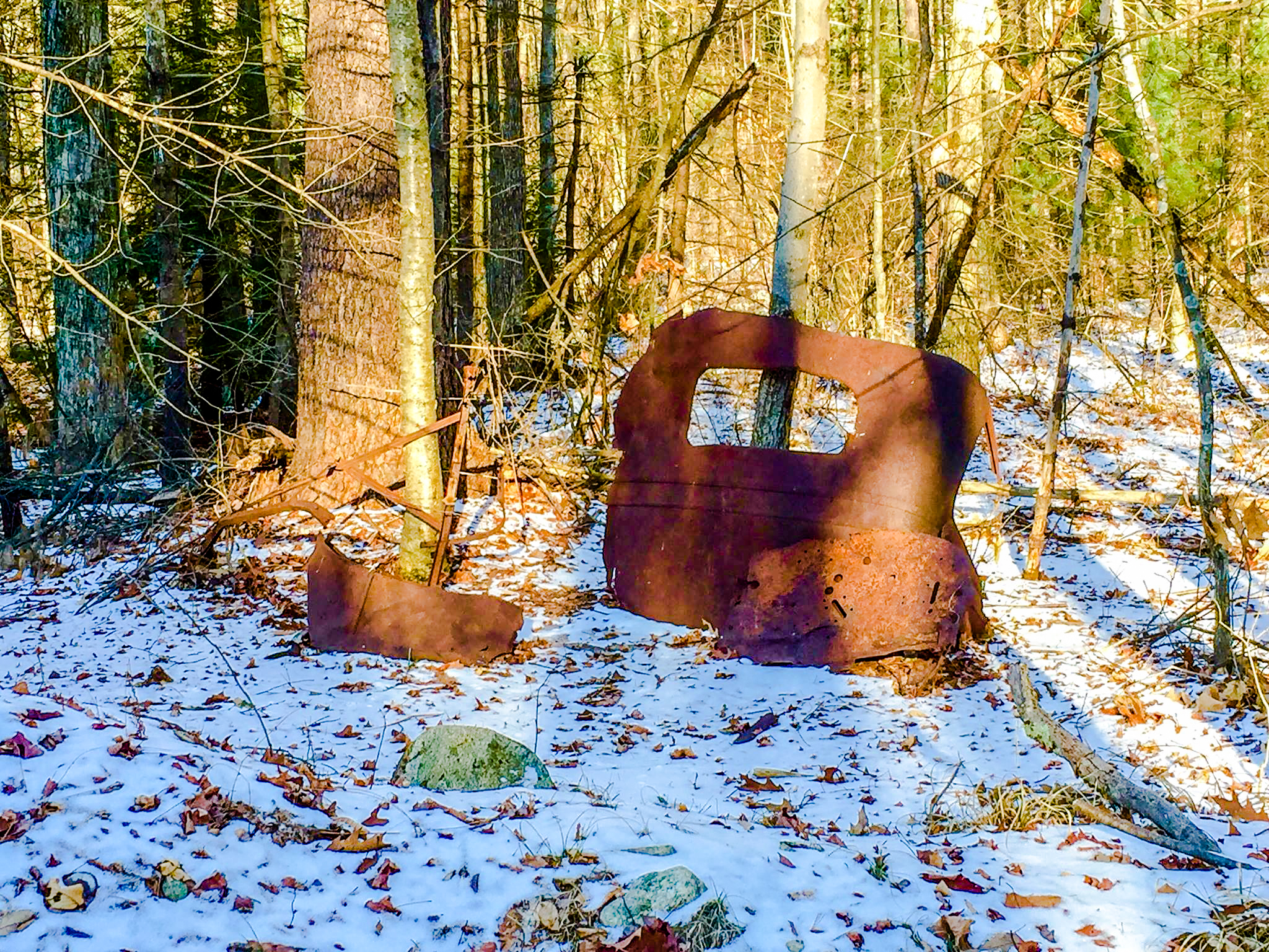
I found a rear end of an old car today in the woods of Quabbin. I wondered how long this has been standing here against this tree? 1/21/16
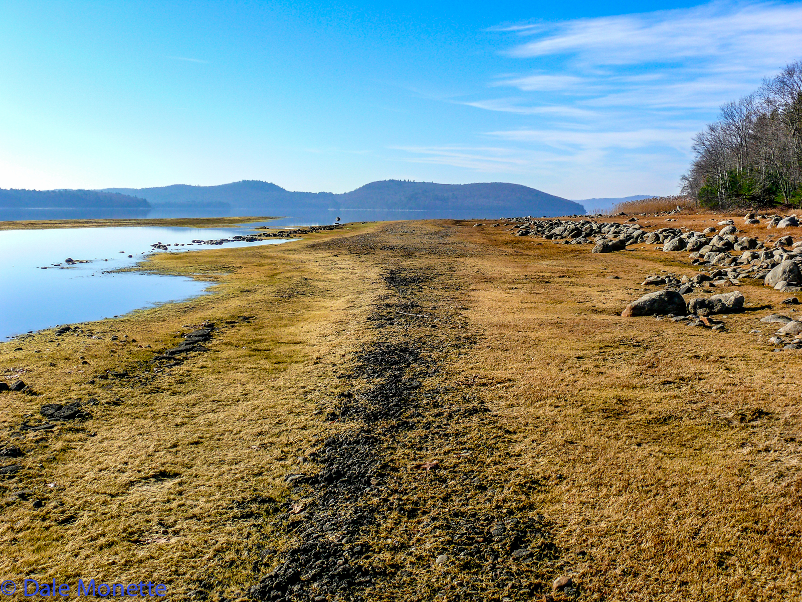
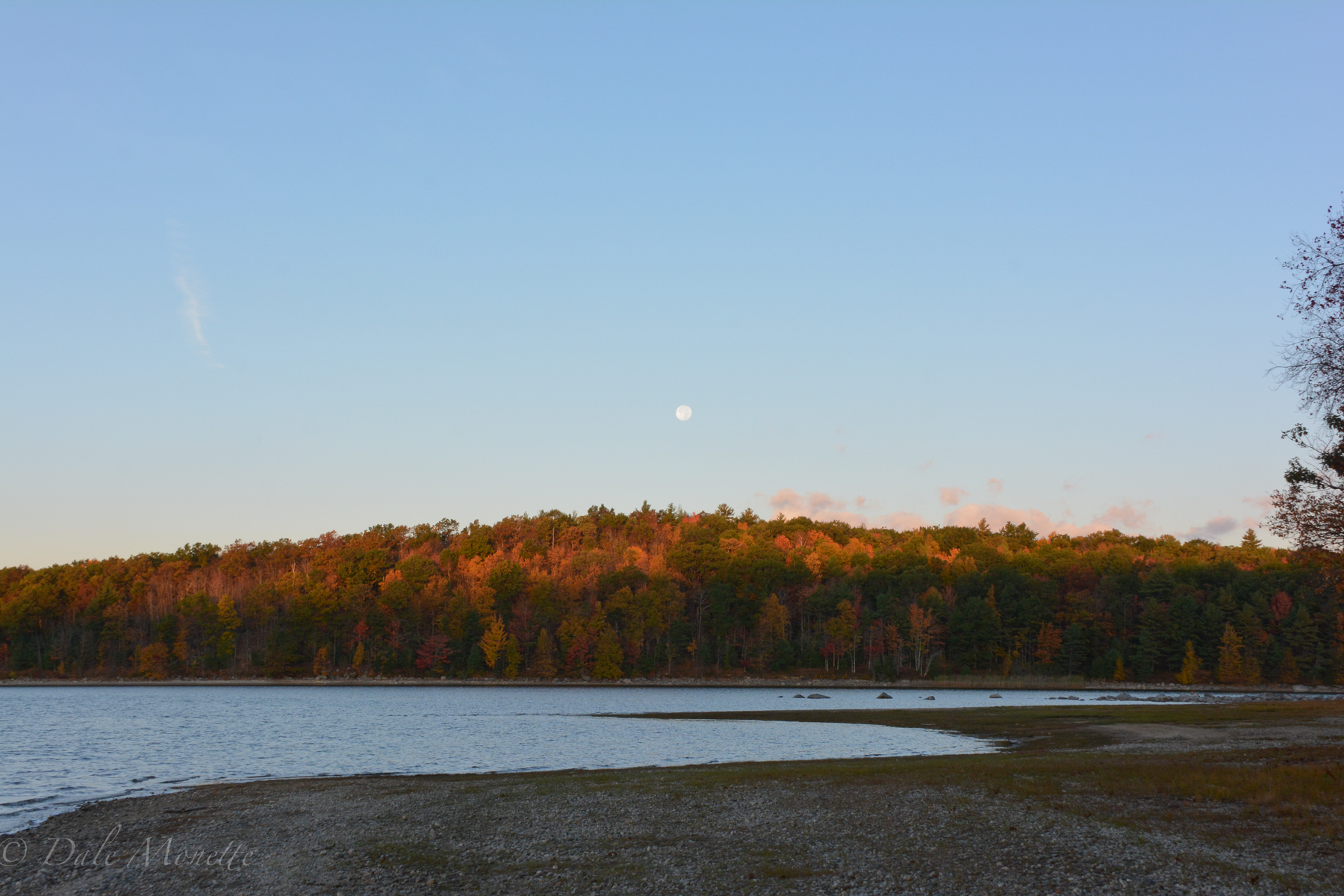
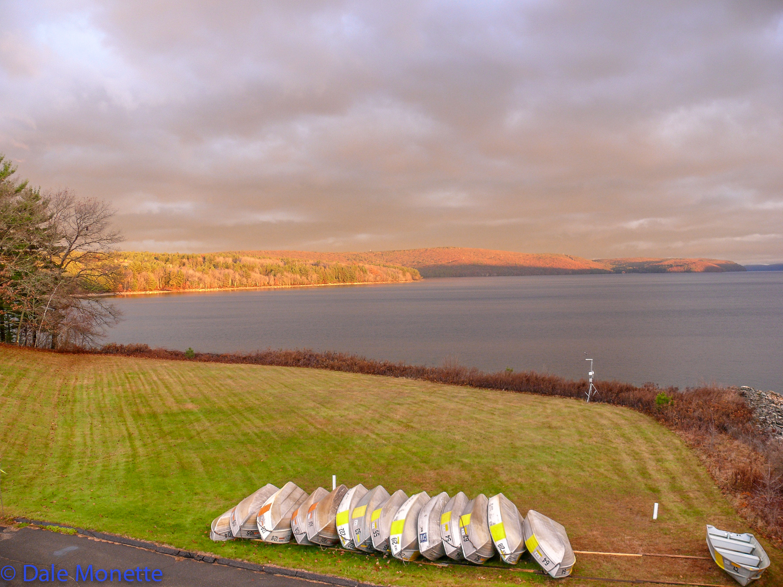
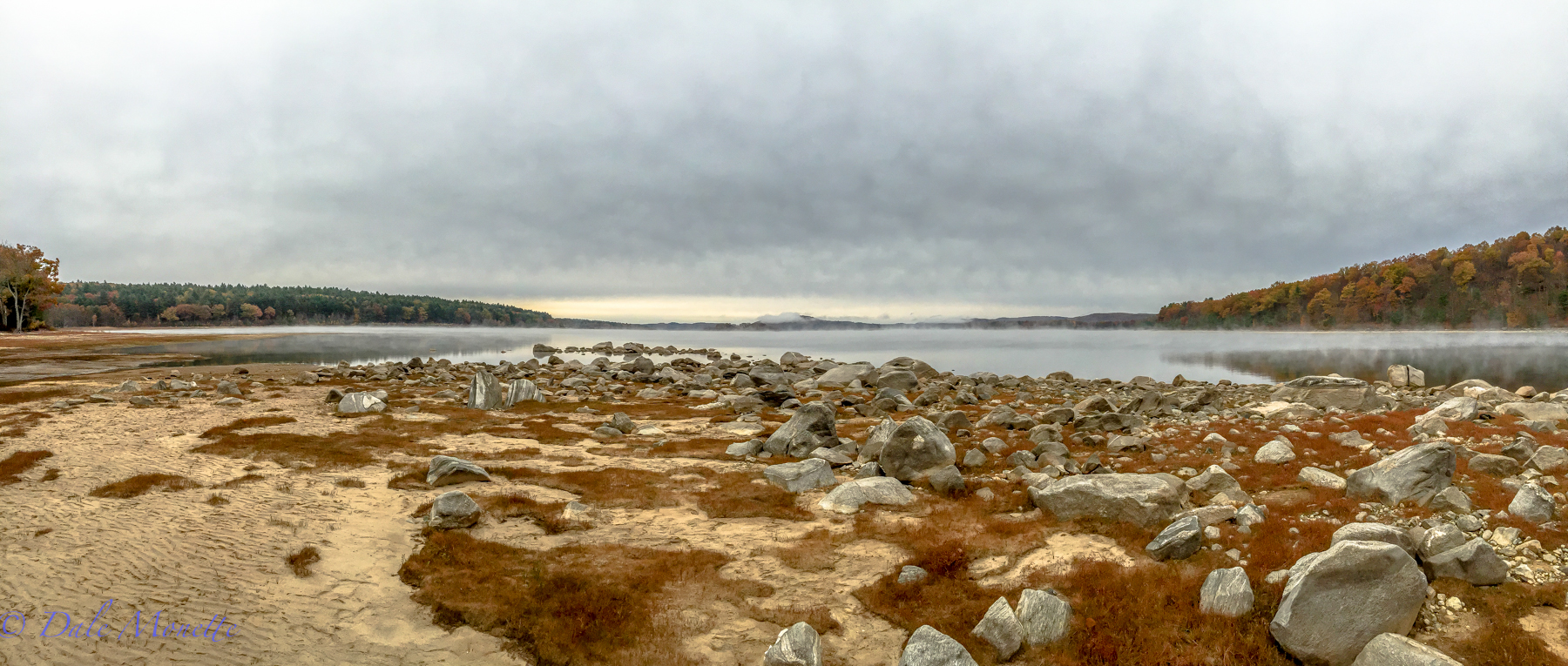
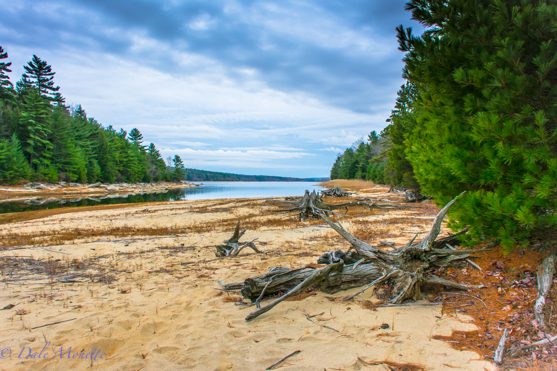
As of December 3rd, 2015 the water level at Quabbin is seven feet below normal. Or at 88% capacity. 12/4/15
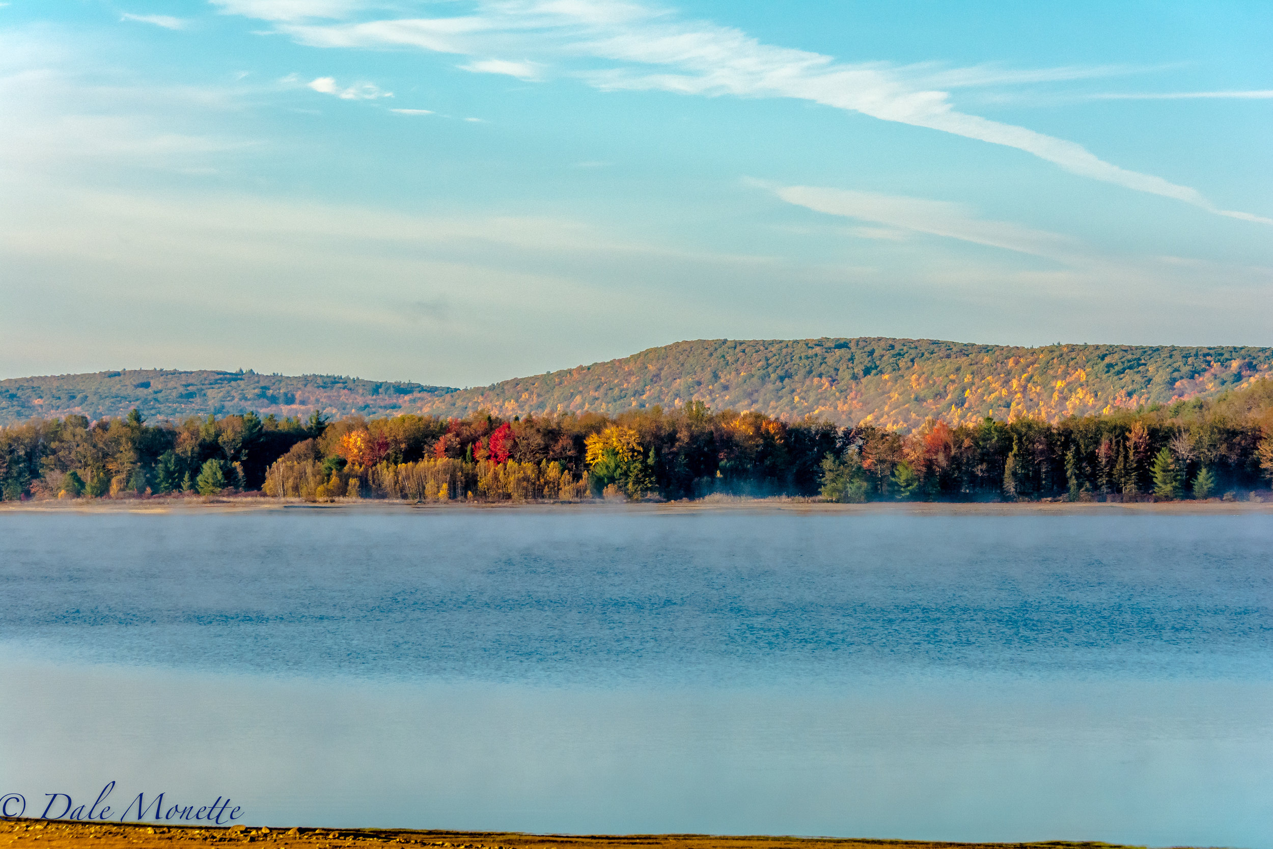
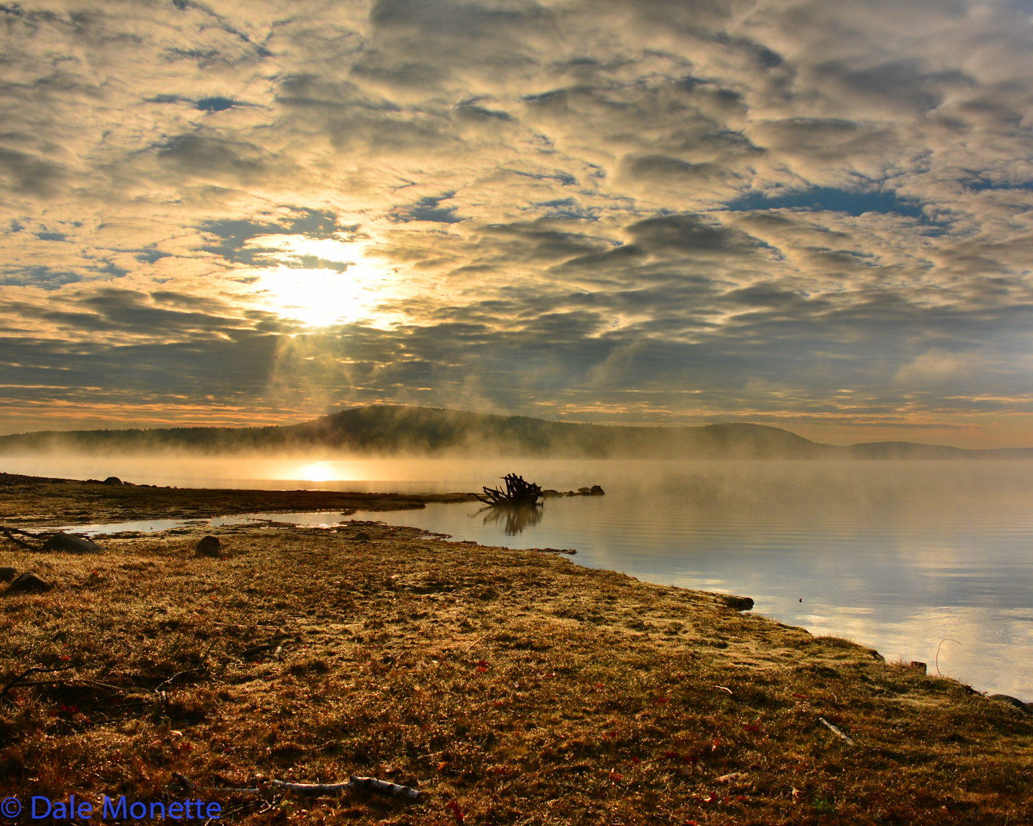
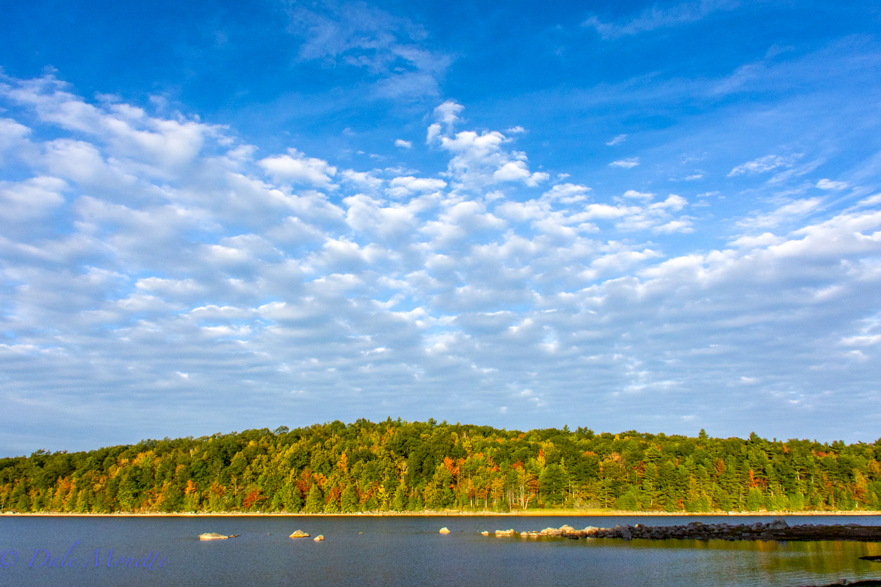
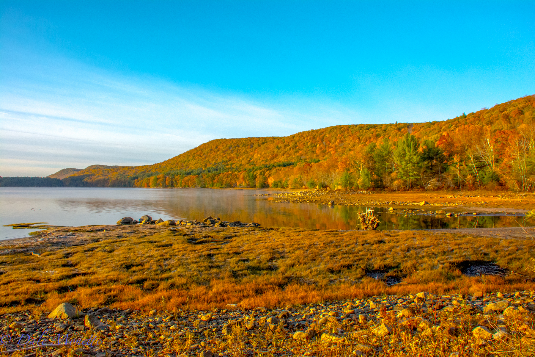
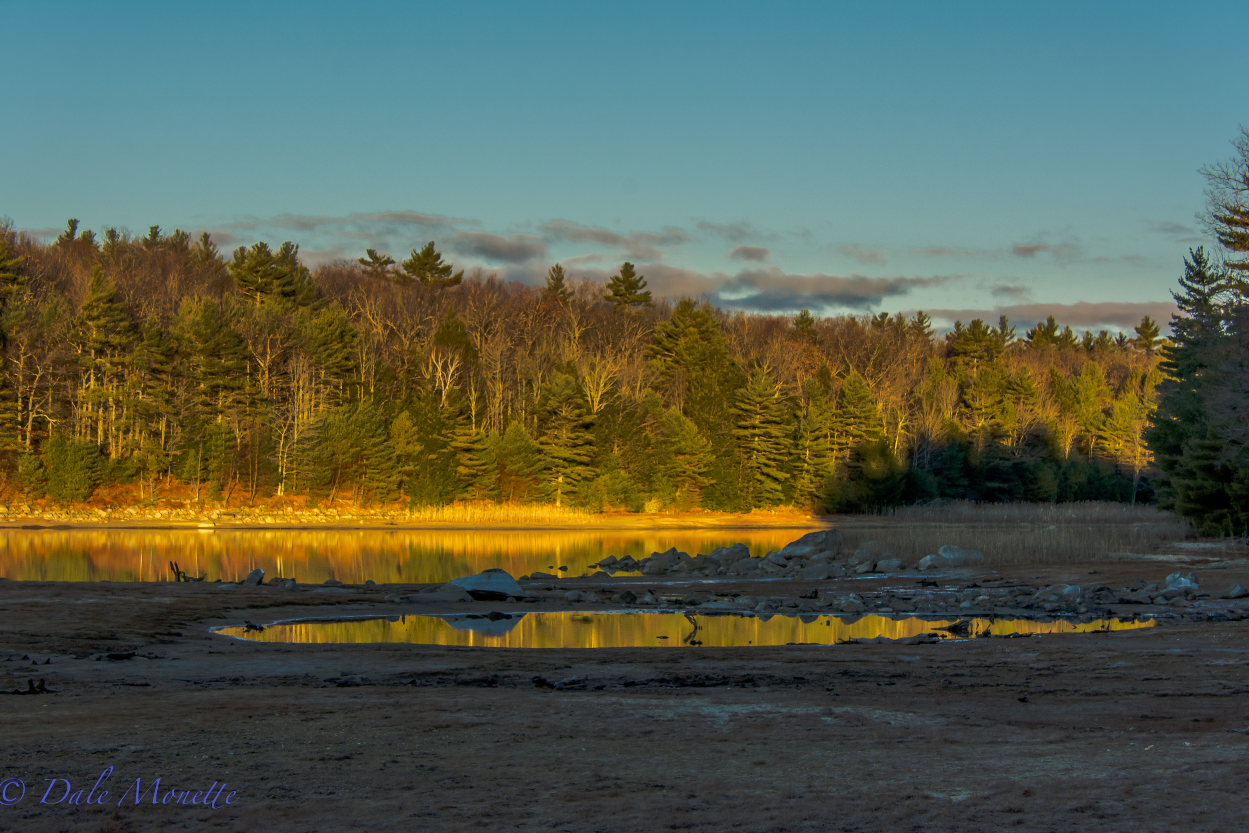
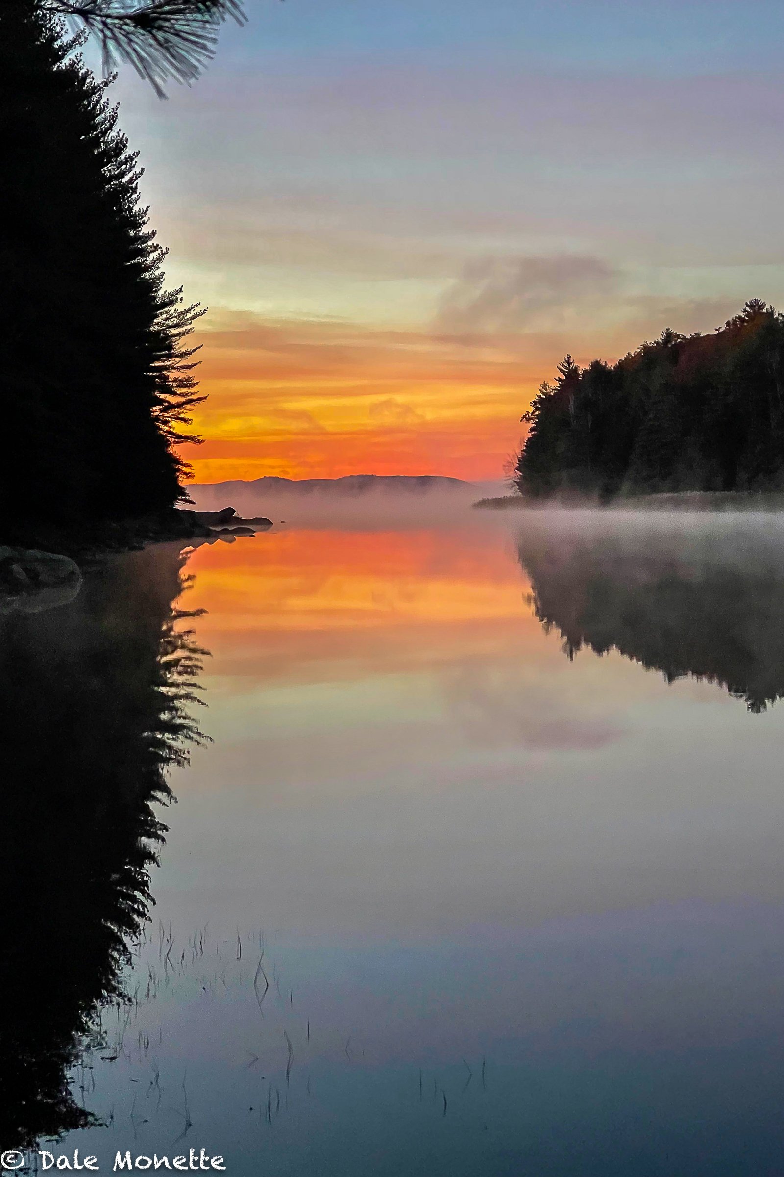
Early morning sun on the east side of the Prescott Peninsula at the Quabbin reservoir. 10/20/16
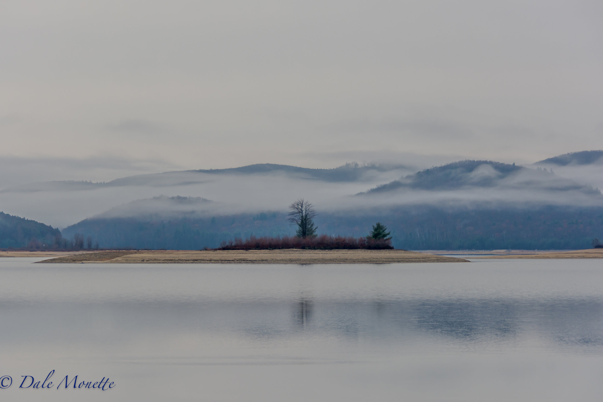
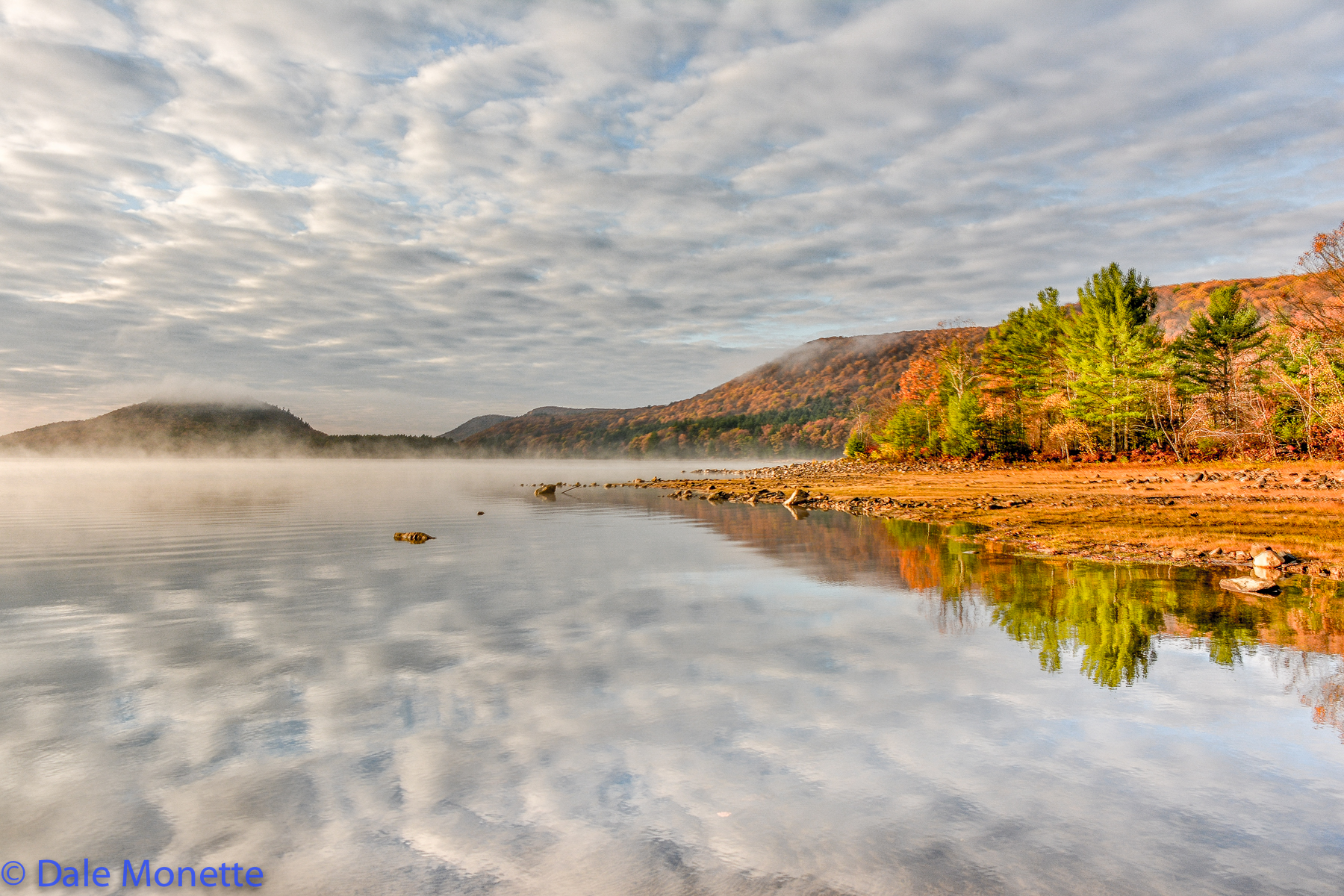
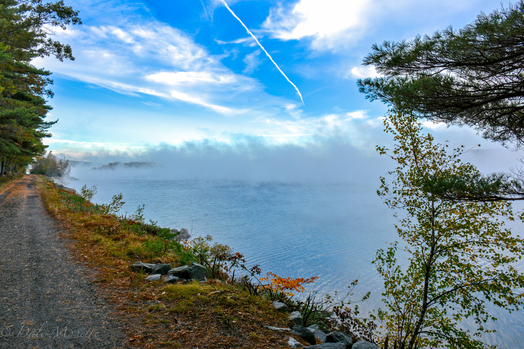
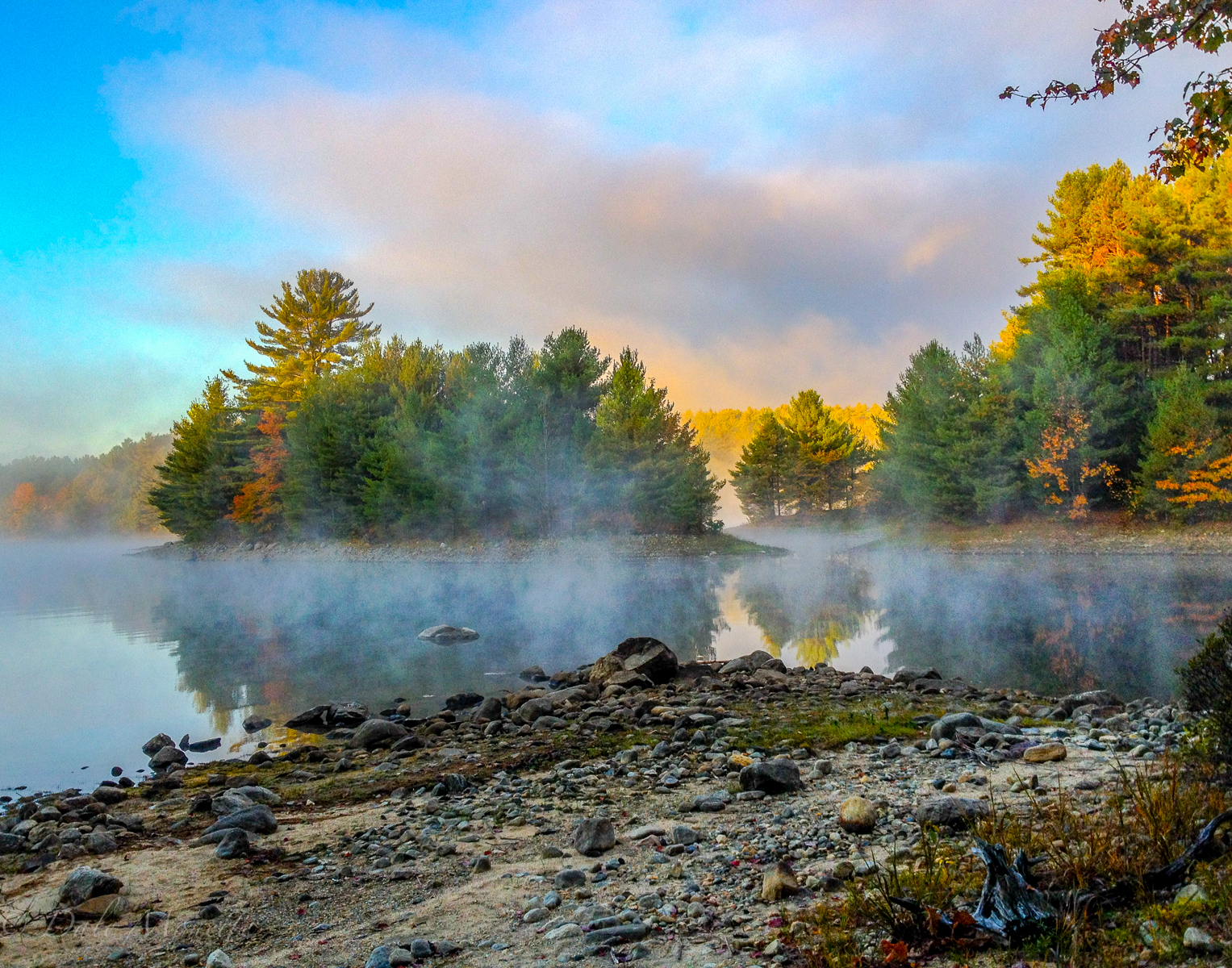
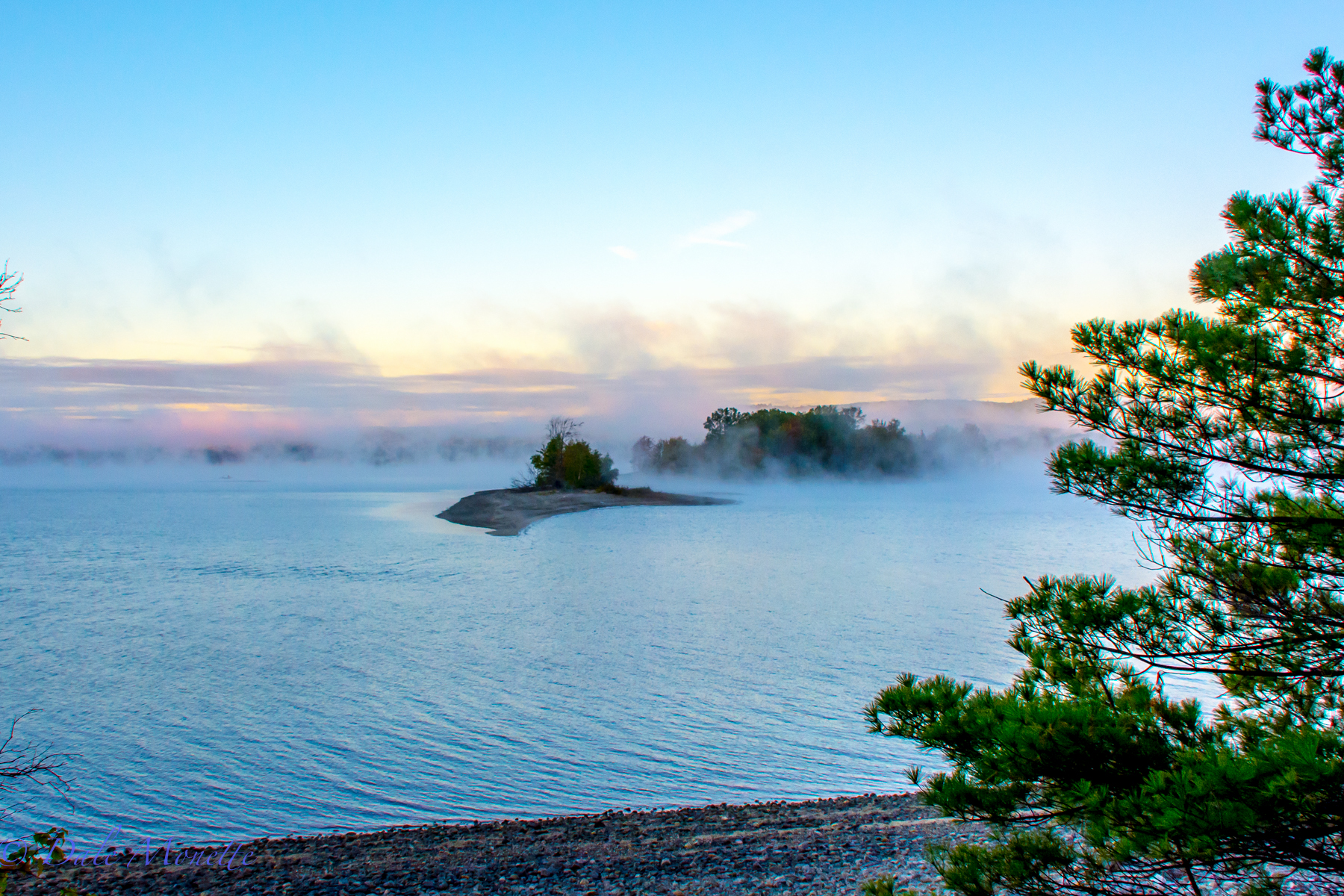
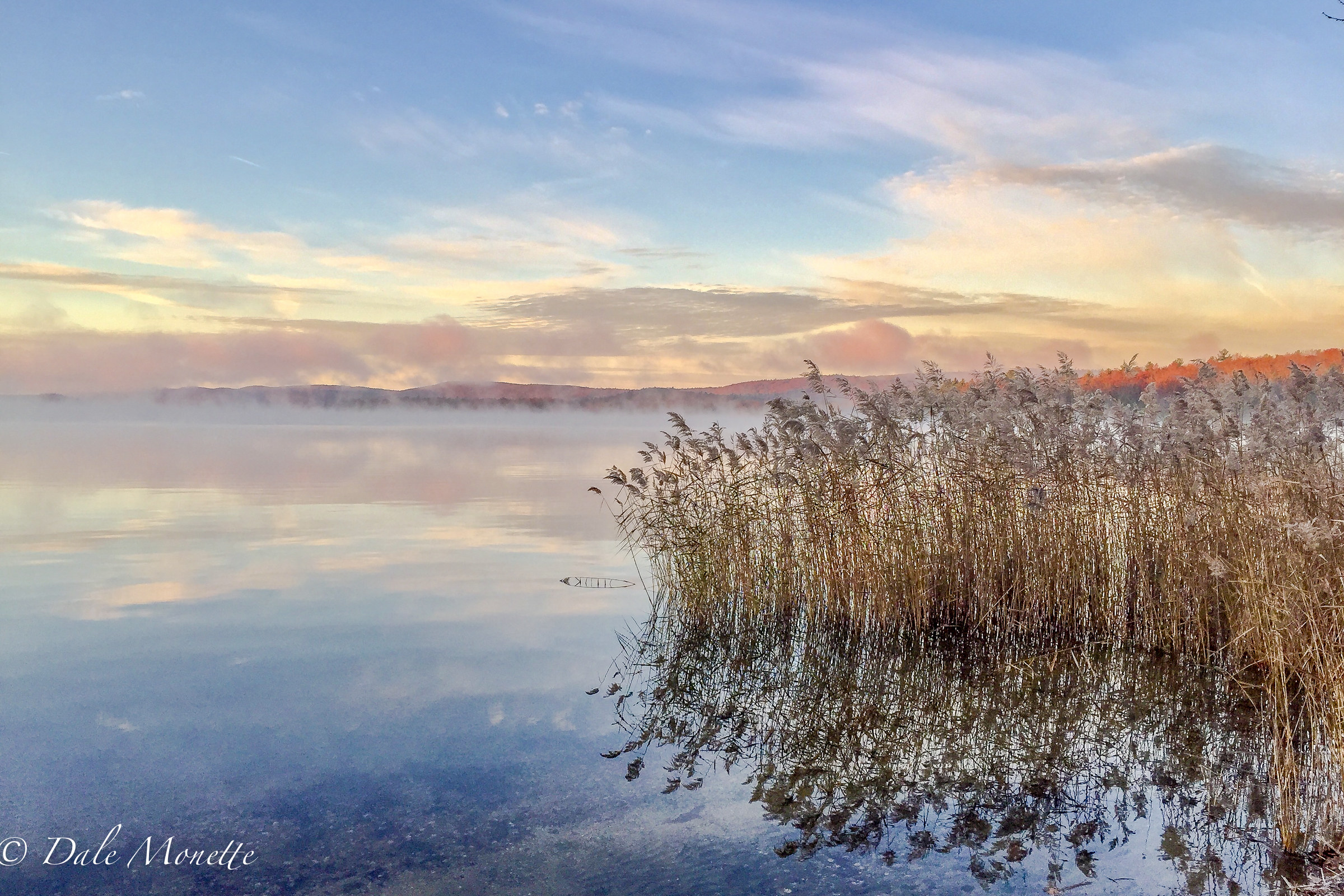
Early morning fog at Quabbin.... 11/30/16
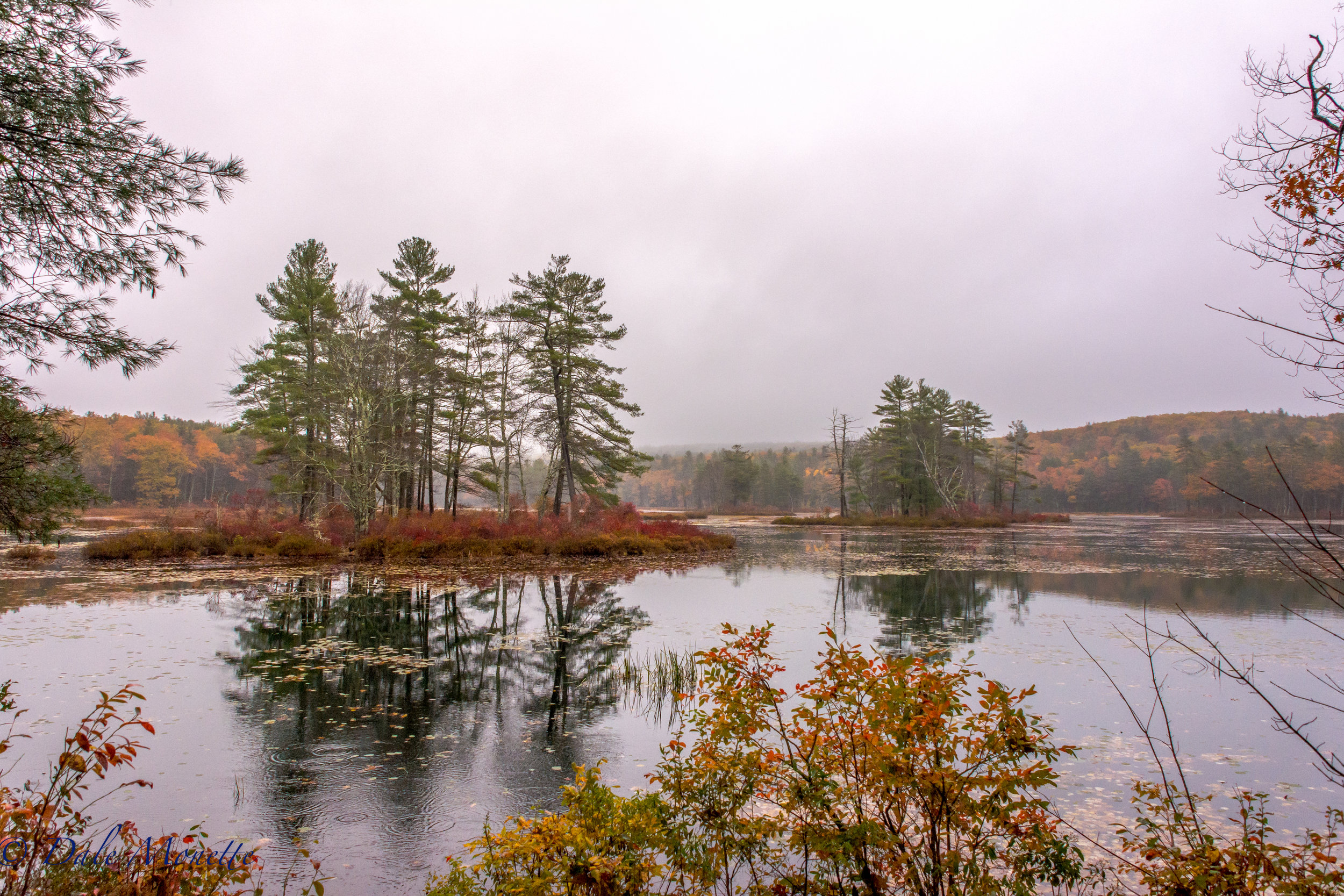
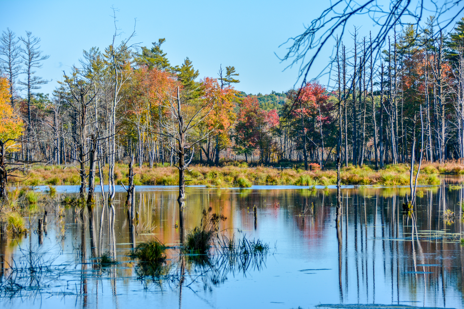
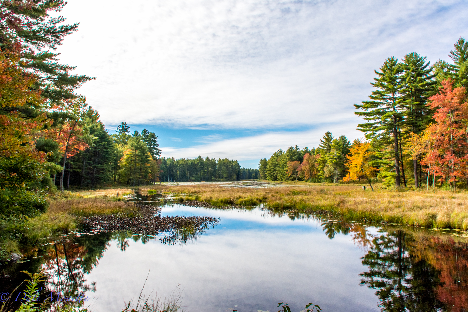
There was a light mist to everything this morning. Sometimes I find this better for scenics than direct sunlight. I love the softness that foggy, misty days can bring to photographs. Harvard Pond, Petersham, MA. 10/22/16
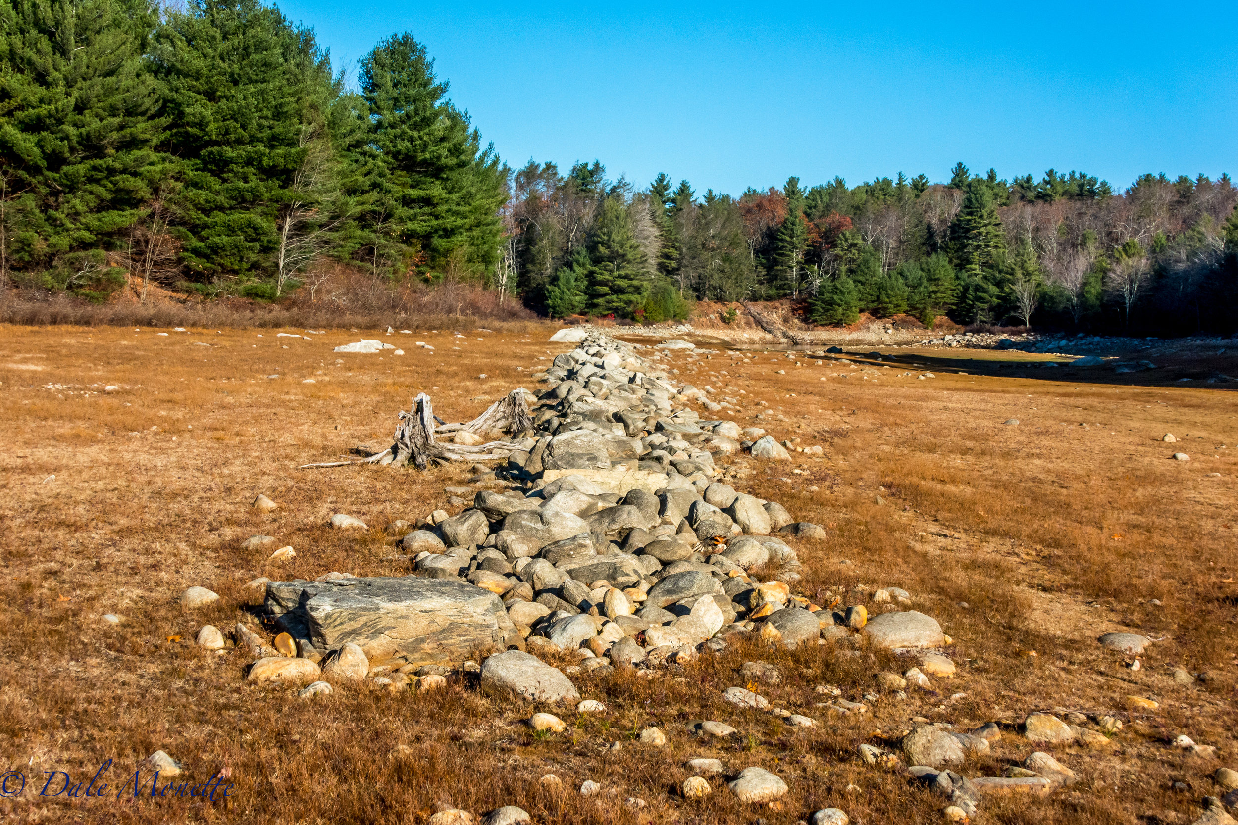
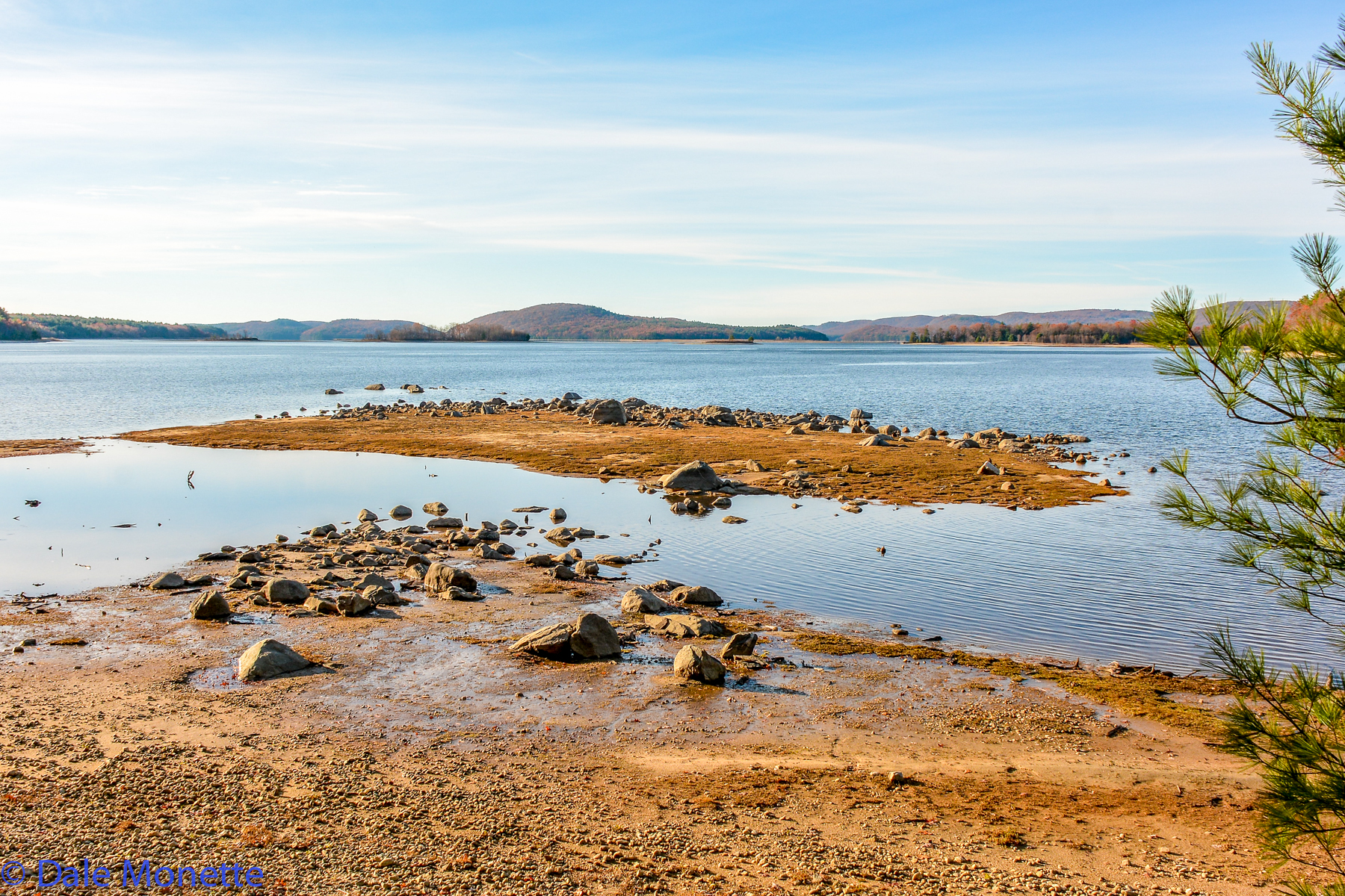
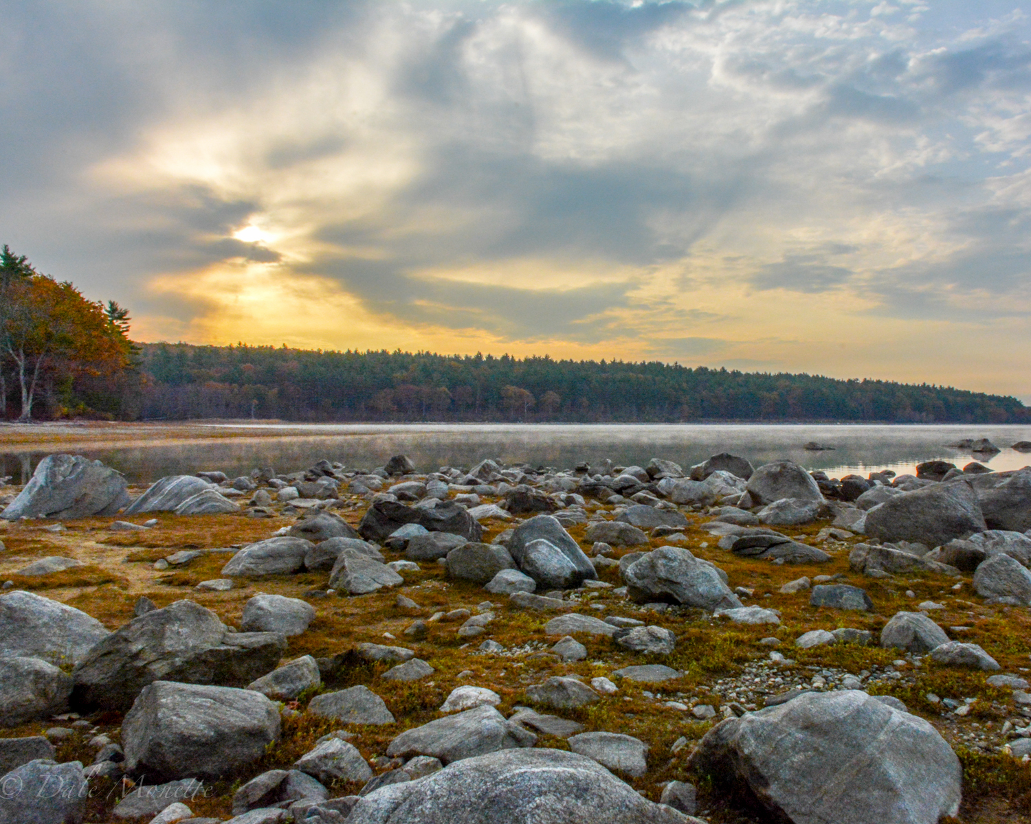
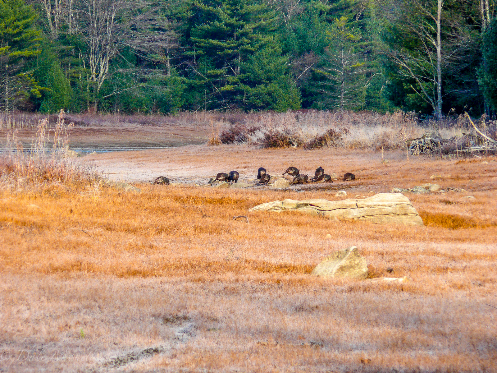
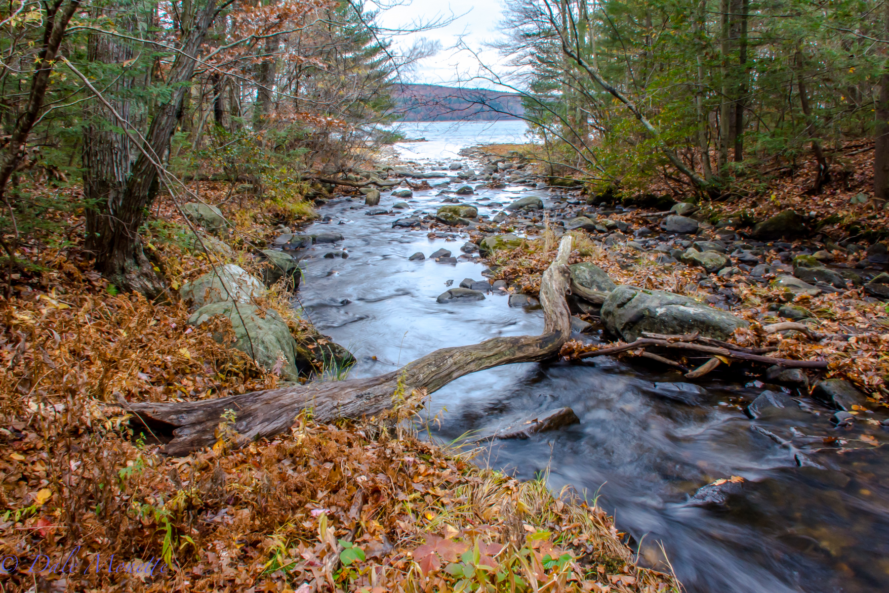
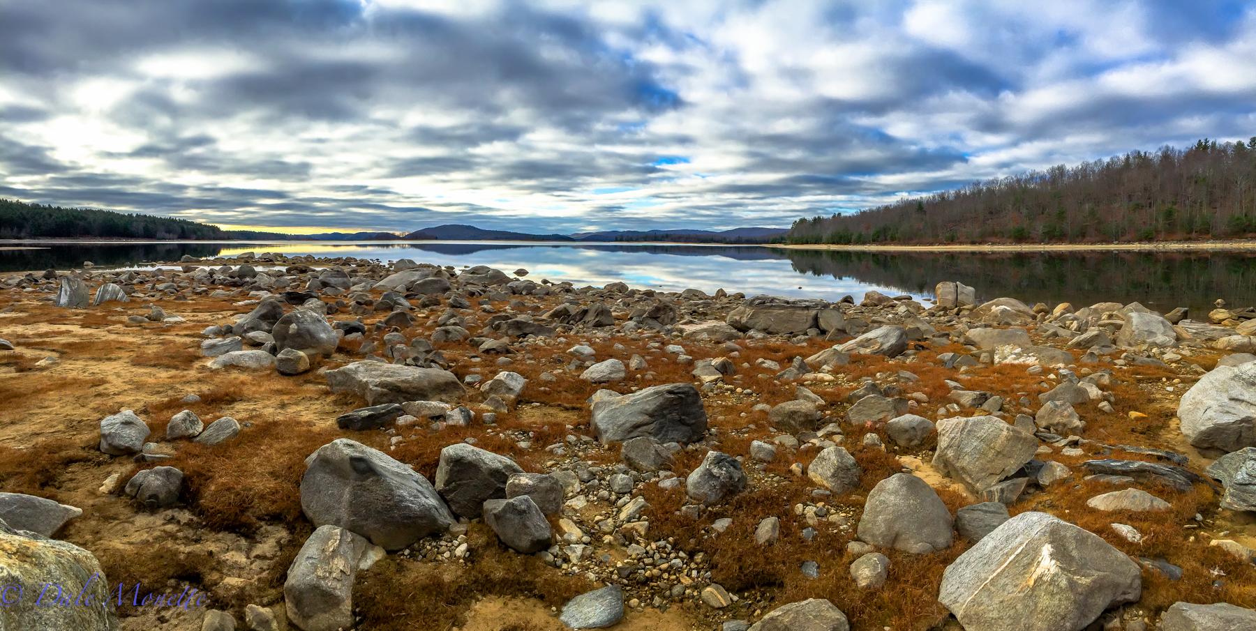
A look at how low the water is in the Quabbin Reservoir. This is where the mouth of the east branch of the Fever Brook dumps into the Reservoir way back in the distance. Notice the old stonewall now out of water. 11/18/16
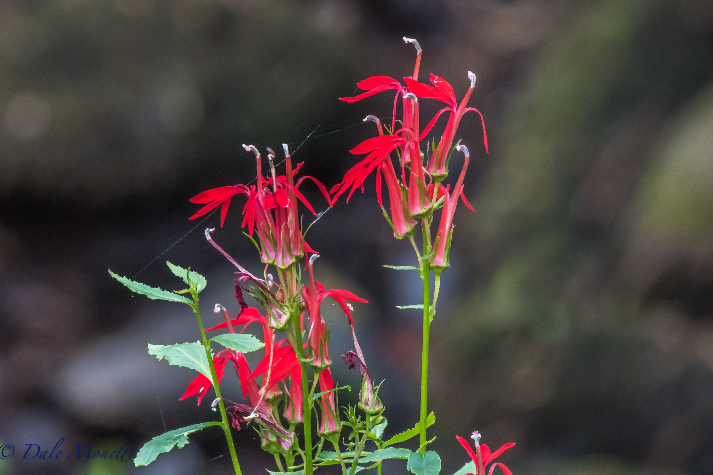
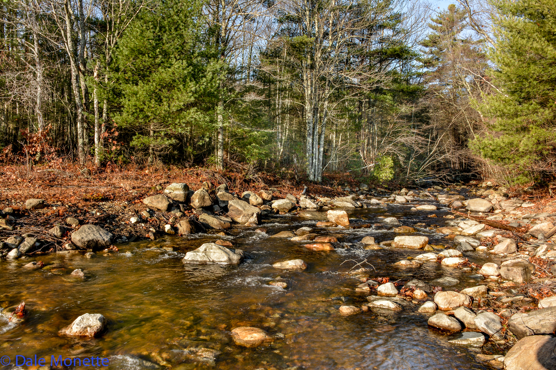
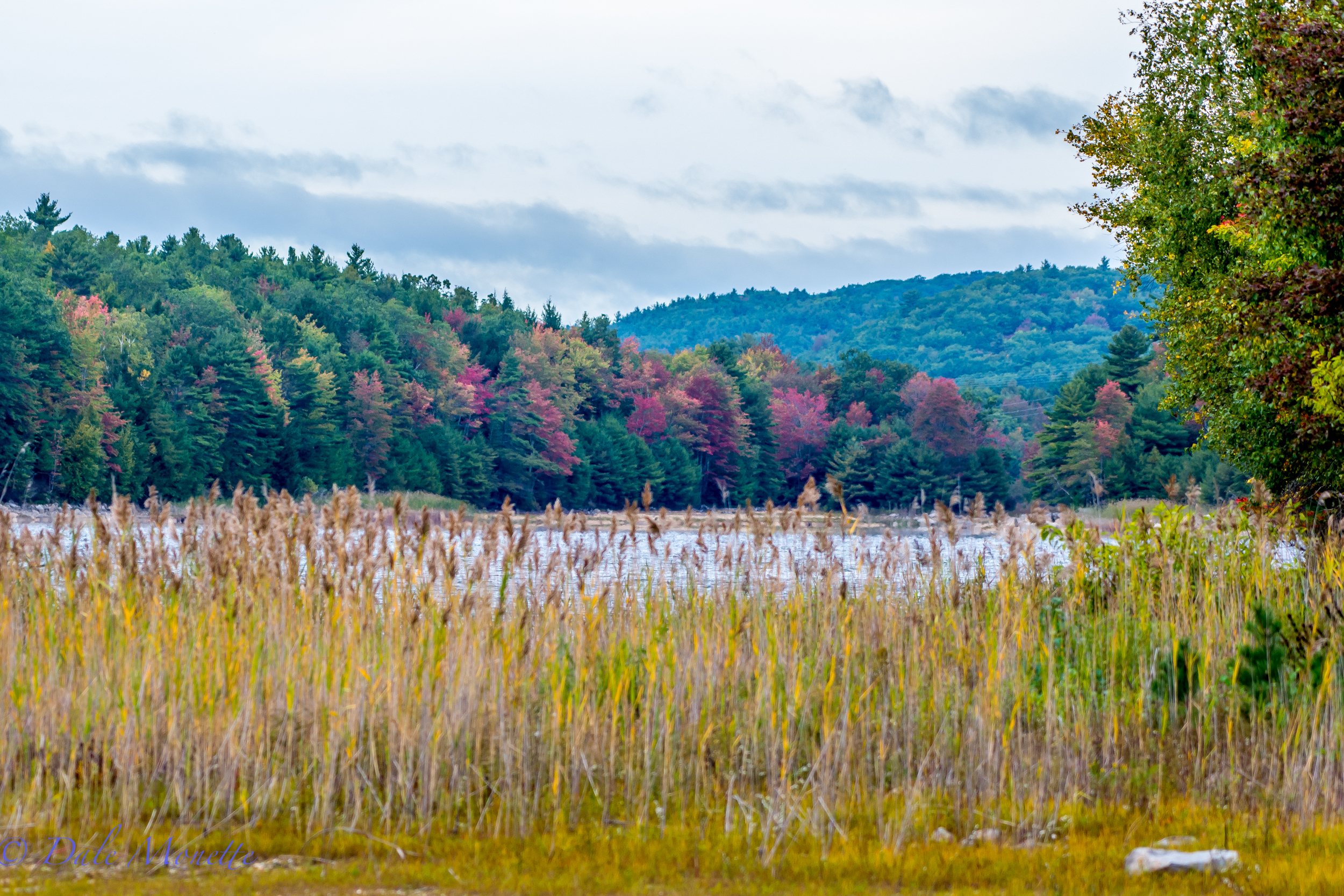
Cardinal flowers in a drying out stream bed at Quabbin 9/5/16
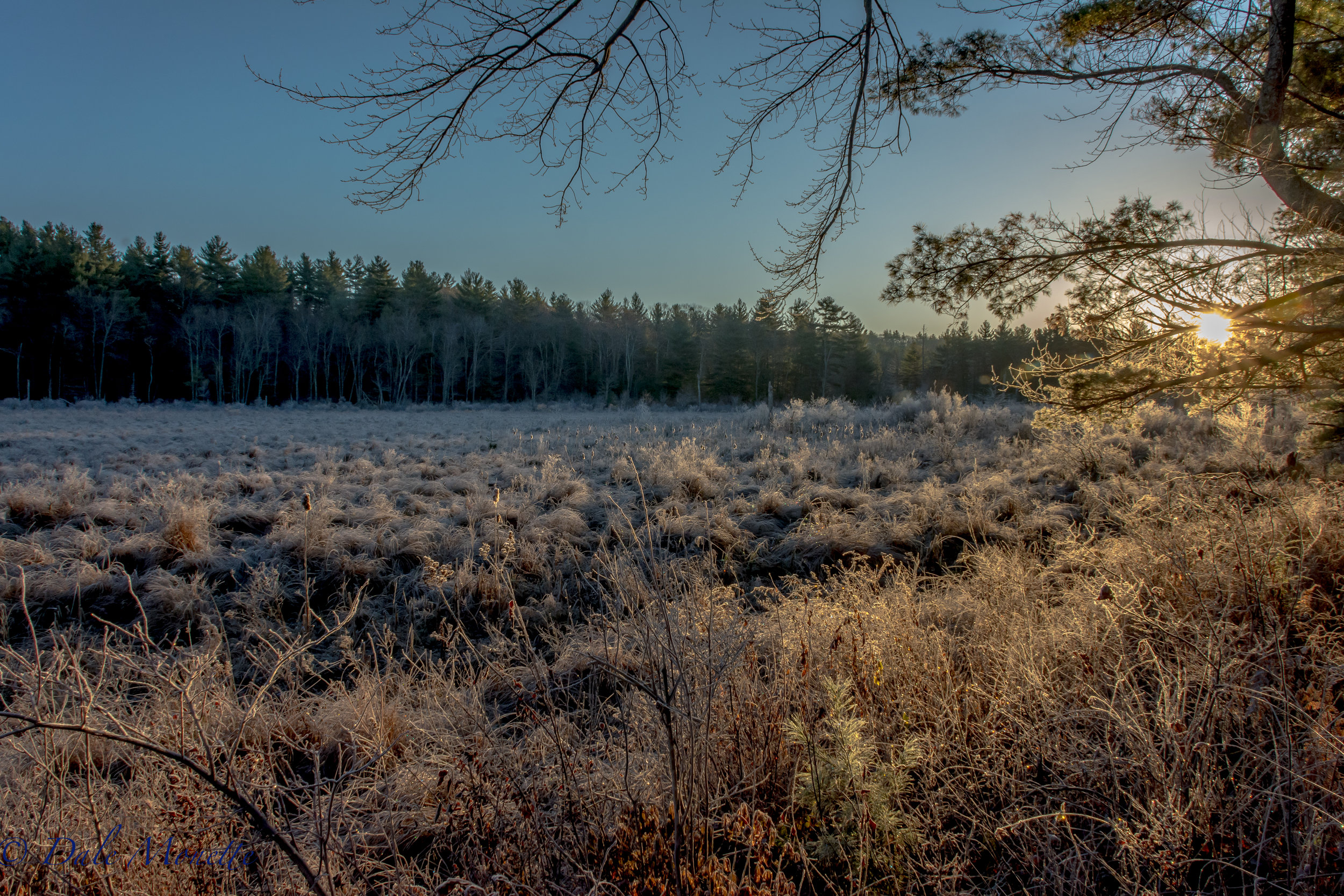
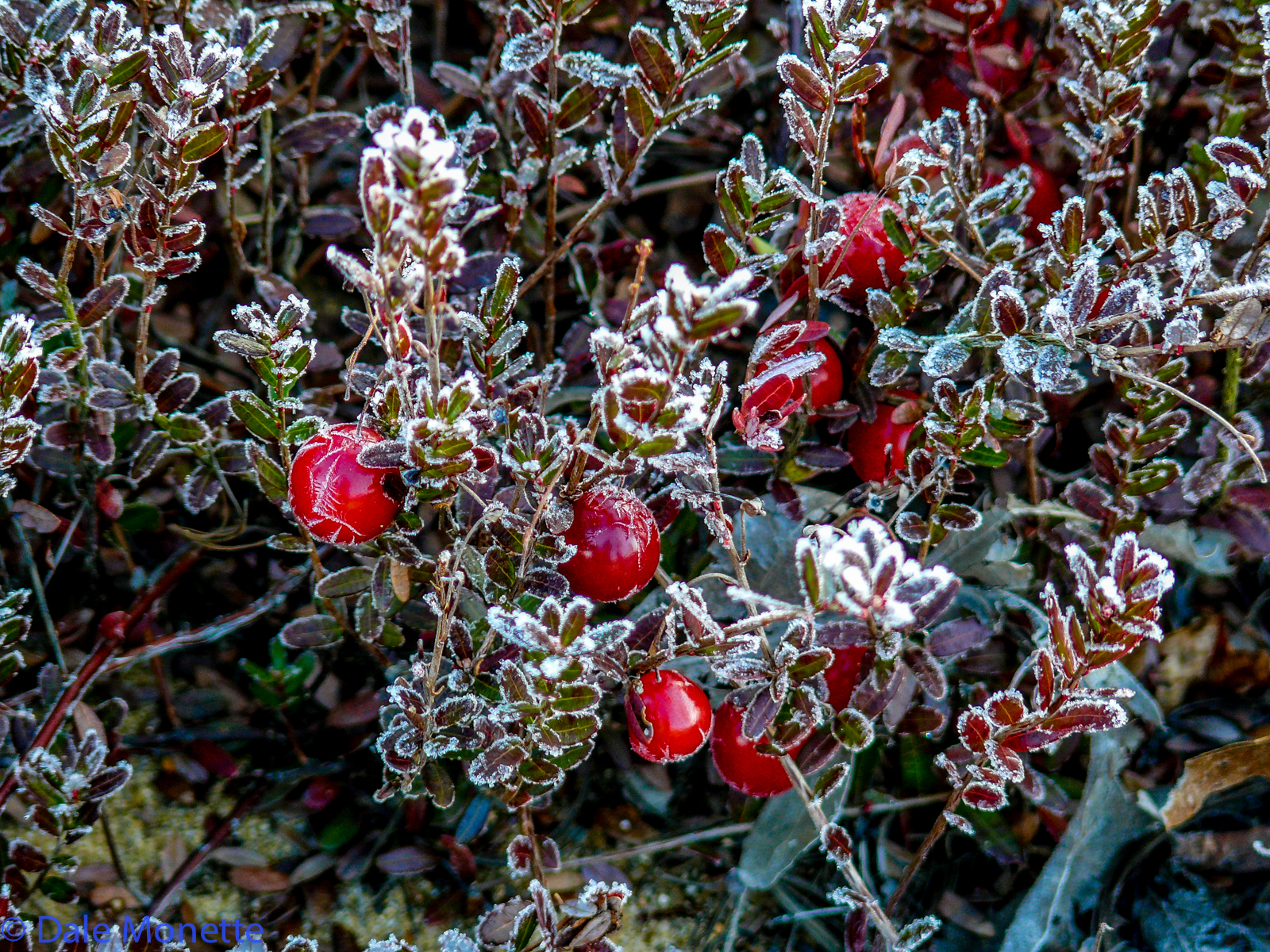
I found Jack Frost's house this morning !! 11/28/16
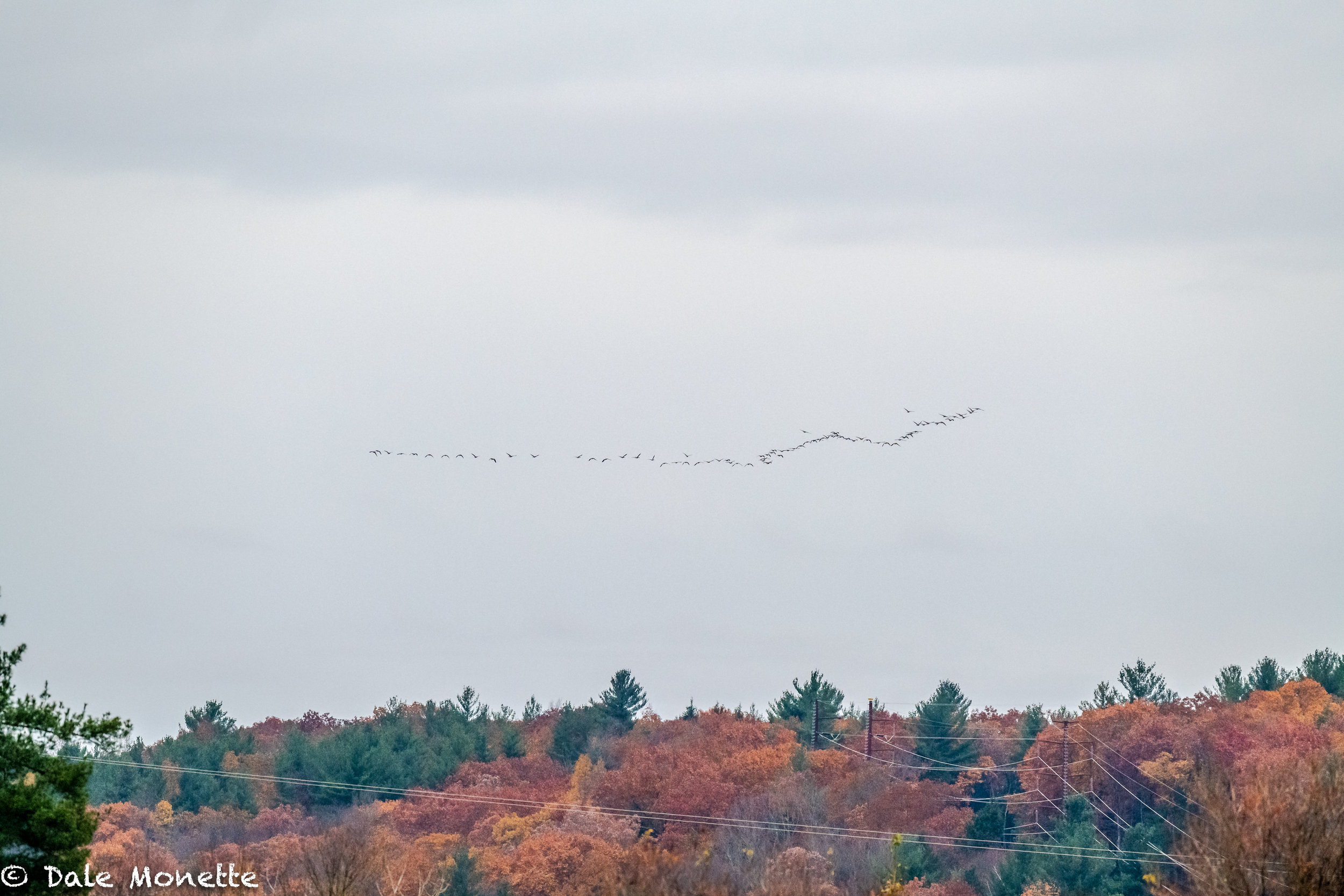
And there go the Canada geese………. southbound.
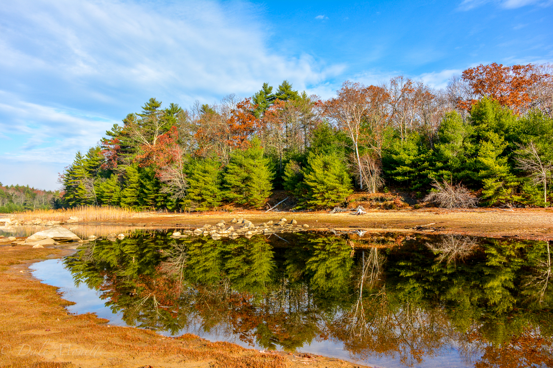
Quabbin Reservoir is at 100% capacity……..
Sunrise, north Quabbin. 11/11/21
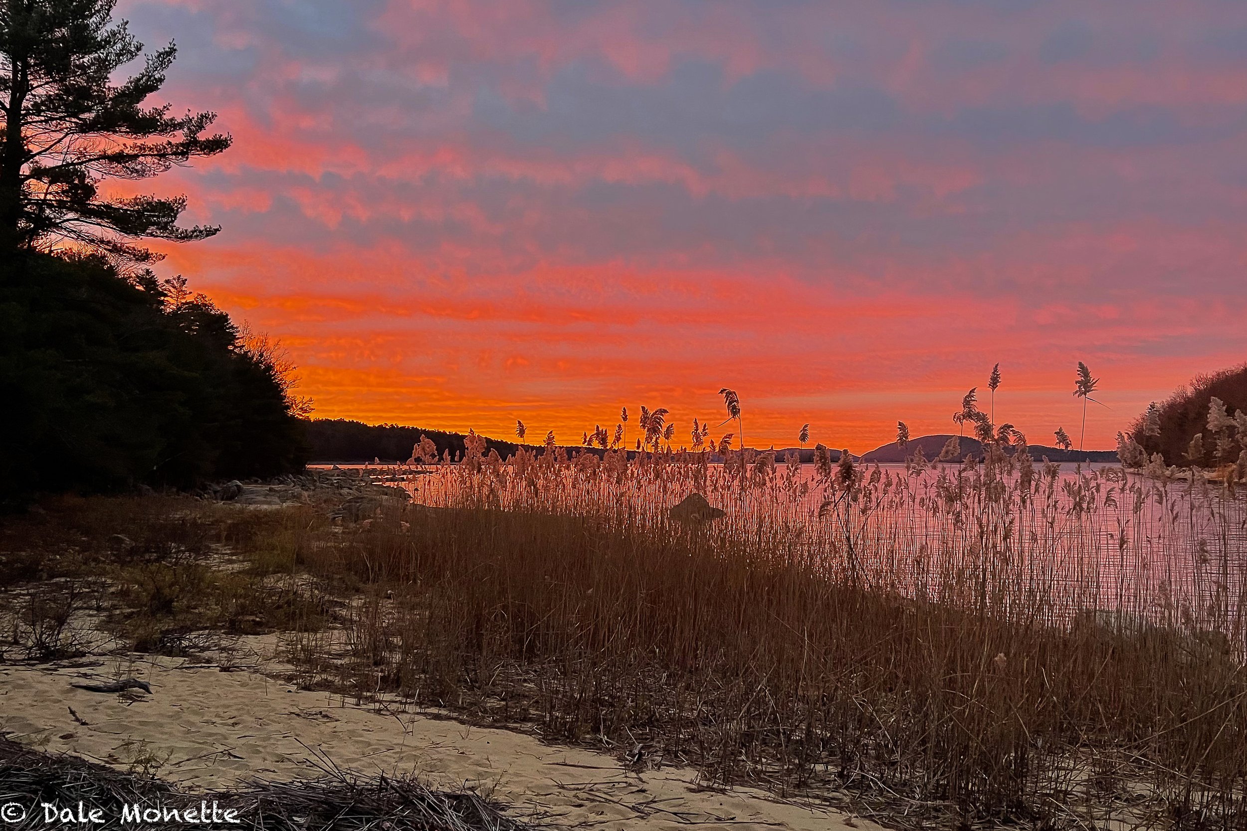
Spectacular Quabbin sunrise ! 11/27/22.